
Israel + Palestine Topographic Map - IL + PA
Obliczymy ostateczną cenę na podstawie wybranego pliku. Sprawdzisz ją i zaakceptujesz przed płatnością.
Zapisane na tym urządzeniu.
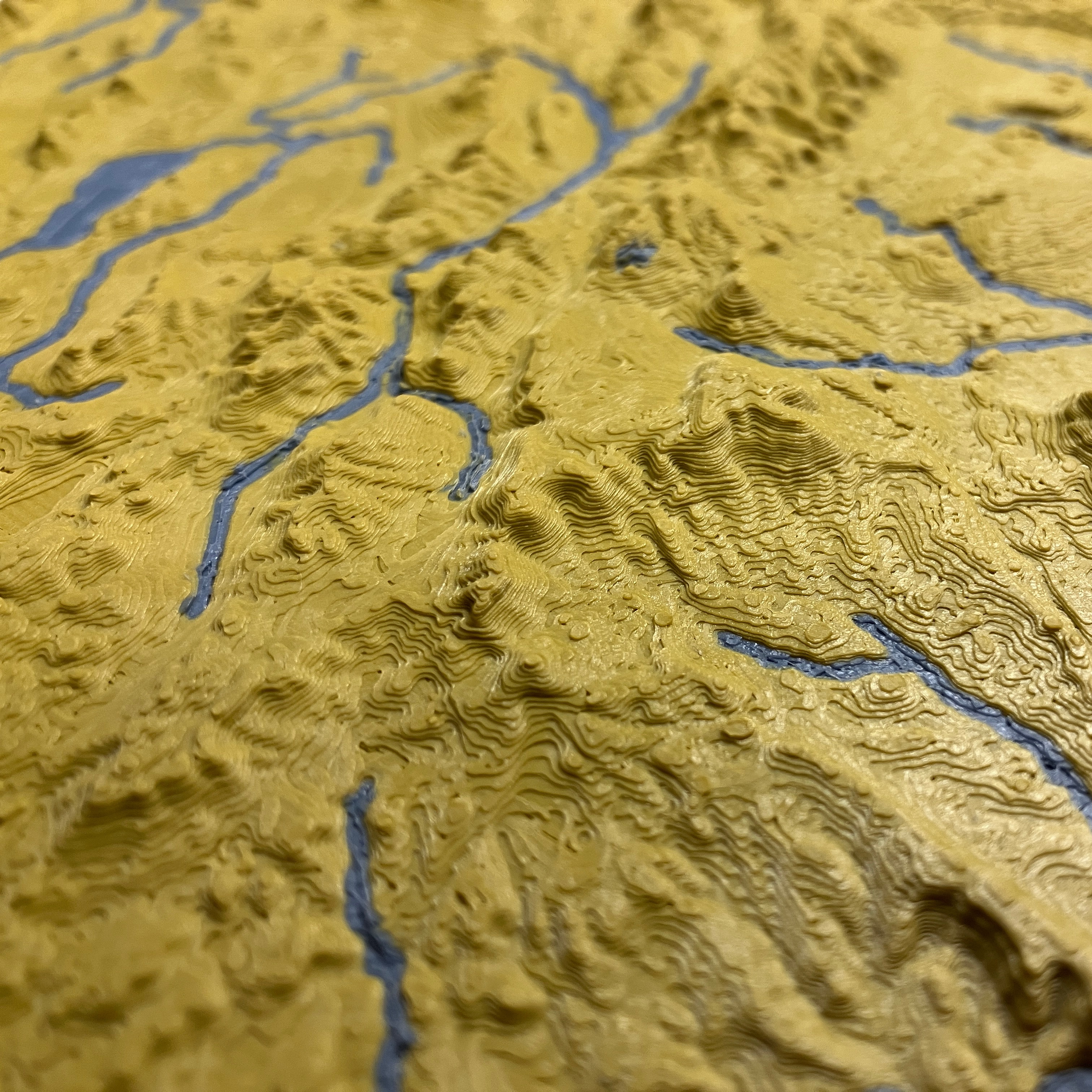
Topographic map of Israel + Palestine including streams and lakes.
- Ocena
- 0 / 5
- Polubienia
- 13
- Pobrania
- 98
- Wydruki
- 0
- Wyświetlenia
- 511
- Oceny
- 0
Aktualizacja u źródła:
Informacje o modelu
- Źródło
- Printables
- Kategoria
- Sculptures
- Licencja
- Creative Commons — Attribution — Noncommercial
Topographic map of Israel + Palestine including streams and lakes.
I have designed a couple variants:
- Full region
- Only Israel
- Only Palestine (West Bank/Gaza)
The borders of the regions reflect the current international boundaries.
The magnetic display stand pictured is a 3D printable model.
See https://ansonliu.com/maps/ for map scale and specifications. All my models are available for free on my website.
This model was created at 1:2500000 scale (5x elevation) with ~250m resolution.
If you want to print the map larger, you may increase the scale of the model to print it larger with minimal detail loss.