
1 / 1
United Kingdom Topographic Map - UK - Europe
Zamów wydruk tego modelu
Obliczymy ostateczną cenę na podstawie wybranego pliku. Sprawdzisz ją i zaakceptujesz przed płatnością.
Zapisane na tym urządzeniu.
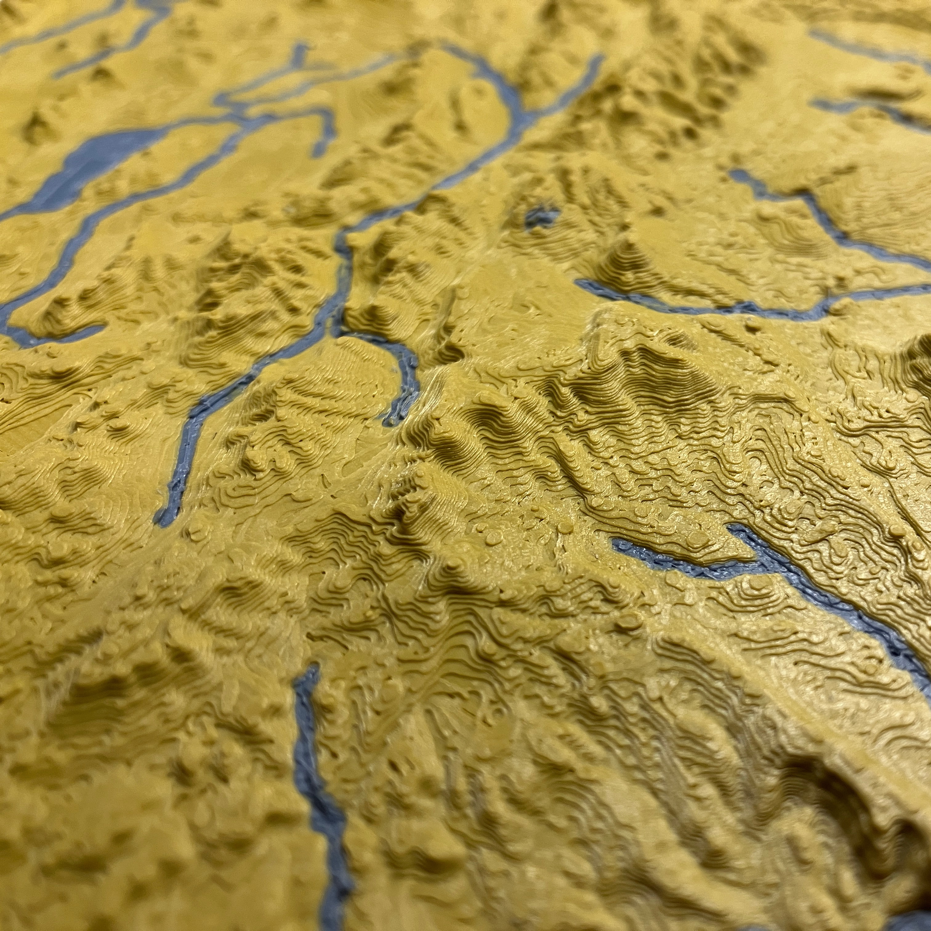
Topographic map of United Kingdom of Great Britain and Northern Ireland. Great for geography studies and wall art!
- Ocena
- 5 / 5
- Polubienia
- 8
- Pobrania
- 160
- Wydruki
- 1
- Wyświetlenia
- 583
- Oceny
- 1
Aktualizacja u źródła:
Informacje o modelu
- Źródło
- Printables
- Kategoria
- Wall-mounted
- Licencja
- Creative Commons — Attribution — Noncommercial — Share Alike
SzczegółyPliki (2)Wydruki i komentarze (Wydruki: 1) (Komentarze: 1)Remiksy (0)Kolekcje (13)Powiązane
Topographic map of United Kingdom of Great Britain and Northern Ireland including streams and lakes and coastline.
See https://ansonliu.com/maps/ for map scale and specifications. All my models are available for free on my website.
This model was created at 1:2500000 scale (5x elevation) with ~500m resolution.