
P
PrintablesMichael
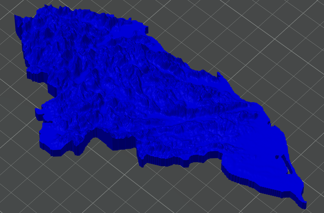
Honduras Topographic Map
Single stl of Honduras, derived from AW3D30 data, Vertical Scaled: 15. Used: https://touchterrain.geol.iastate.ed
- Pobrania
- 25
- Polubienia
- 0
- Ocena
- 0
1 modeli
Single stl of Honduras, derived from AW3D30 data, Vertical Scaled: 15. Used: https://touchterrain.geol.iastate.ed
To wszystkie aktualnie dostępne wyniki.