
P
PrintablesSohaib Bayati
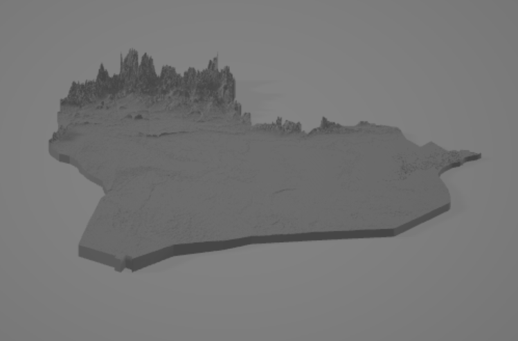
topographical map of iraq
Compiled in QGIS using elevation data from JAXA's AW3D30 dataset.
- Pobrania
- 74
- Polubienia
- 6
- Ocena
- 0
Liczymy pasujące modele…
Compiled in QGIS using elevation data from JAXA's AW3D30 dataset.
the text is elevated for simple colored 3d printing on my Ender 3. change the filament as soon as it starts with the text.
To wszystkie aktualnie dostępne wyniki.
