Wszystkie modele

Sortowanie

Liczymy pasujące modele…

P
PrintablesAndreas Kilthau
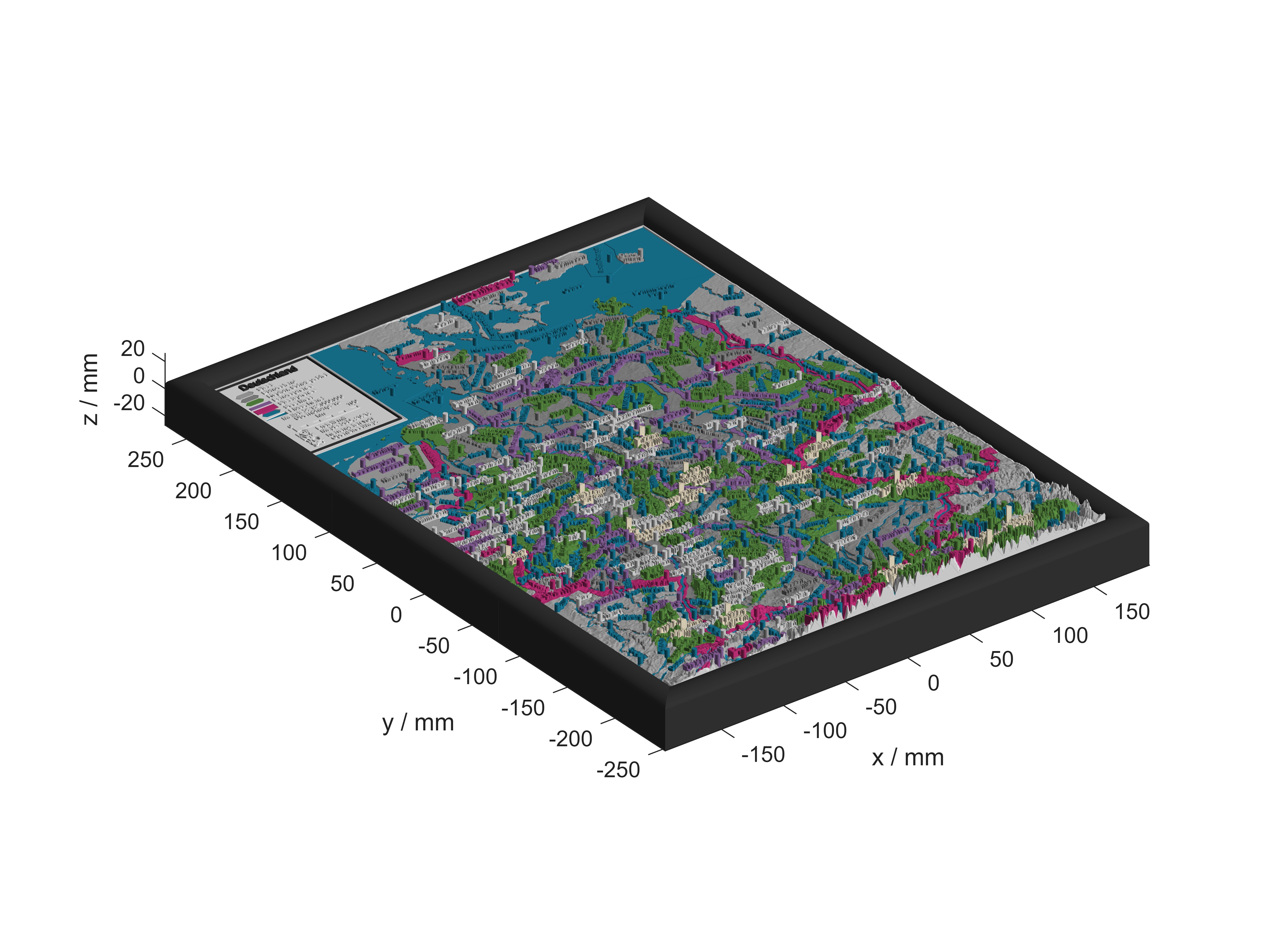
Relief Landkartenpuzzle von Deutschland

3D Landkarte von Deutschland mit Puzzleteilen der Länder, Ländergrenzen, Regionen und Schutzgebiete, Wasserflächen, Flüsse, Berge und Städte. Die Karte besteht aus 446 beschrifteten Puzzleteilen, einer Legende, 6 Grundkacheln und 6…

Pobrania
7
Polubienia
3
Ocena
0
P
PrintablesAndreas Kilthau

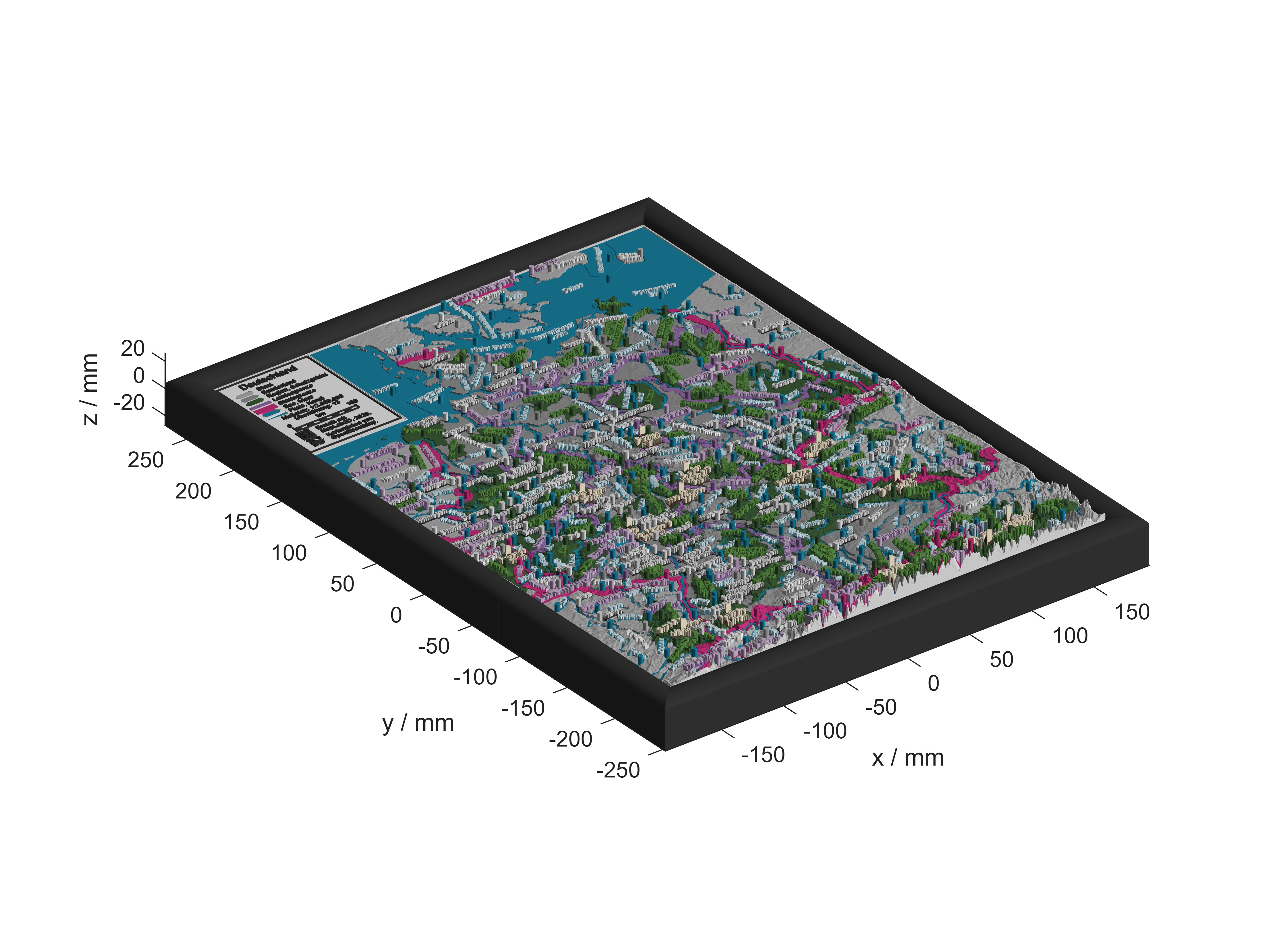
Relief Landkartenpuzzle von Deutschland

3D Landkarte von Deutschland mit Puzzleteilen der Länder, Ländergrenzen, Regionen und Schutzgebiete, Wasserflächen, Flüsse, Berge und Städte. Die Karte besteht aus 446 beschrifteten Puzzleteilen, einer Legende, 6 Grundkacheln und 6…

Pobrania
6
Polubienia
1
Ocena
0
P
PrintablesAndreas Kilthau

3D printing of maps by combining OpenStreetMap data and SRTM elevation data

The aim of the project is to develop an application for 3D printing of maps with freely selectable additional geodata such as roads, rivers or cities.

Pobrania
5
Polubienia
13
Ocena
0
P
PrintablesAndreas Kilthau

Heidelberg old town topographical map

This model was created using the MapLab3D app. MapLab3D is a tool for creating 3D models of maps in STL format from freely available OpenStreetMap data and elevation data which can be printed on 3D printers without further processing. No…

Pobrania
4
Polubienia
0
Ocena
0
P
PrintablesAndreas Kilthau

Heidelberg topographical map

This model was created using the MapLab3D app. MapLab3D is a tool for creating 3D models of maps in STL format from freely available OpenStreetMap data and elevation data which can be printed on 3D printers without further processing. No…

Pobrania
4
Polubienia
0
Ocena
0

To wszystkie aktualnie dostępne wyniki.