
P
PrintablesMarwan F
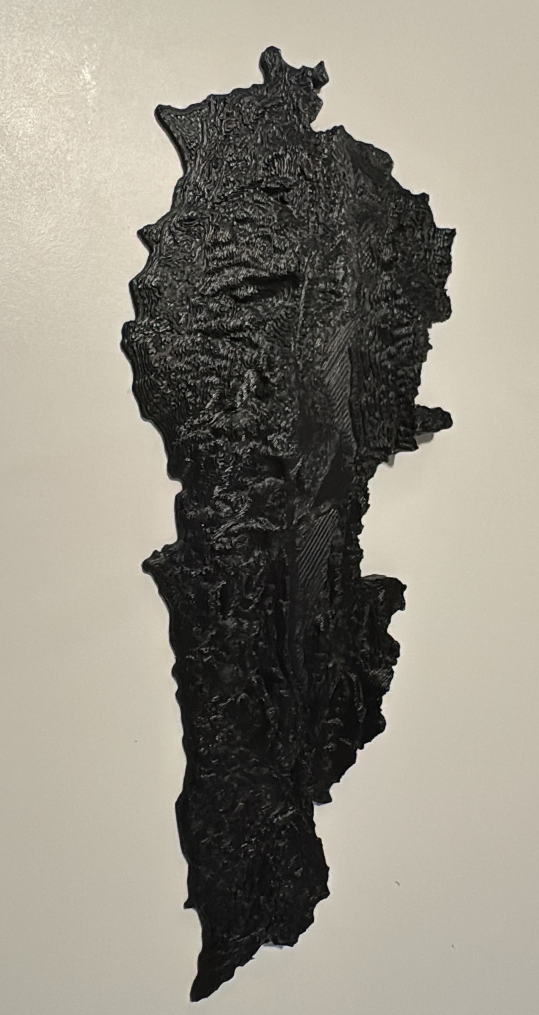
Topographic map - Lebanon (optimized)
Border fixed manually, point by point. Total surface 10500 Km2 → 99% accurate. Z exaggerated x3.
- Pobrania
- 226
- Polubienia
- 10
- Ocena
- 0
Liczymy pasujące modele…
Border fixed manually, point by point. Total surface 10500 Km2 → 99% accurate. Z exaggerated x3.
🇱🇧 اهلا بك في لبنان Welcome to Lebanon! This model was created by Dany Sánchez . This is available in two versions: Actual state (ruins) Hypothetical reconstruction (just this section, not the whole complex) The Temple of Jupiter situated…
🇱🇧 كلنا للوطن ، للعلا للعلم 🇱🇧 If you are Lebanese, a vexillologist (look it up!), or simply don't know what to do with your color filaments, this Flag Coaster collection is for you! Check out my other flag models available ! You can sell…
Dove carrying olive branch in Lebanese theme.
3D printable topographic miniature of Beirut - 🇱🇧 Lebanon Capture the beauty of Beirut 's city landscape with this topographic miniature! This 3D model represents the geographic area around the geo coordinates 33.894, 35.477 (LatLng) . It…
This is a simplified representation of the historic Byblos port in Lebanon. It is meant to be a pendant, but It can also serve as a key chain. If printed, you can cast a layer of epoxy on it to protect the design. You can also print it…


