
1 / 6
California Hex Puzzle Topographic Map with Streams
Order a print of this model
We calculate the final price from your selected file. You review and accept it before payment.
Saved on this device.
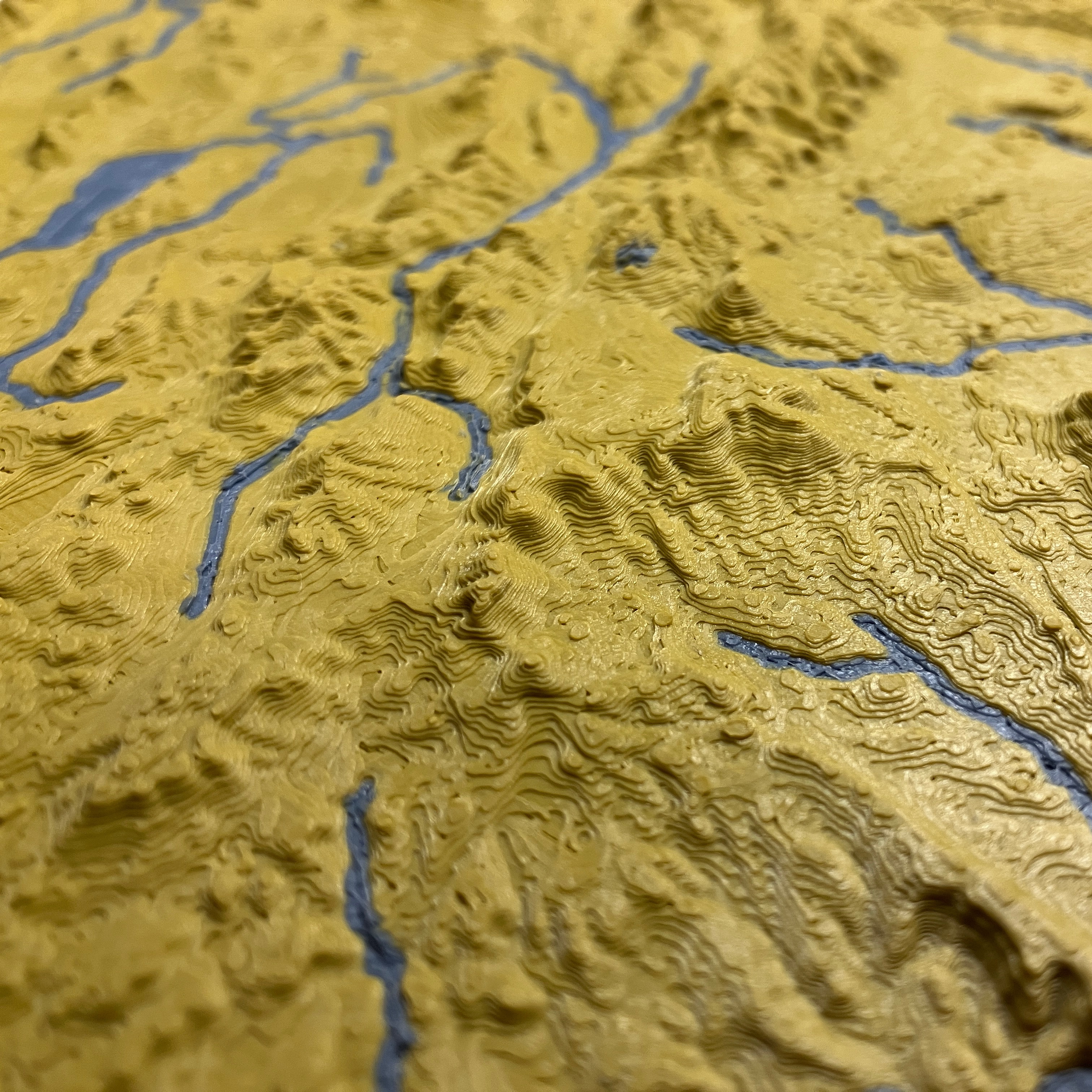
Same great model, now cut into interlocking hexagon pieces. Flat border frame added.
- Rating
- 0 / 5
- Likes
- 10
- Downloads
- 41
- Makes
- 0
- Views
- 377
- Reviews
- 0
Updated at source:
Model information
- Source
- Printables
- Category
- Wall-mounted
- License
- Creative Commons — Attribution — Noncommercial — Share Alike
California, USA (CA) Topographic Relief Map in Hexagon Pieces
This is a large map of California made of interlocking hexagon pieces. The elevation is in square root scale (250-5x) so lower elevations are have more detail and higher bumpy elevations are smoothed out. A border frame model is also uploaded as a print profile that you can print and fit around the finished state!
The model 3MF comes with 2 colors and you can either use the free MFM app to add elevation contour lines and hi-elevation color or try the presliced Plate Sliced .gcode.3mf files under “Download RAW/STL/CAD”.
Triple/Quad color maps can be created with https://github.com/ansonl/mfm
Download More 3D Printable Maps
This model is based off of my higher resolution map models.
Show off streams, lakes, and coastlines with this dual color map using filament that is glow-in-the-dark or translucent — or simply use a different color from the base.
Model and Map Specifications & Recommended Print Settings