
Topographic Relief Map Calibration/Stress Test Print - Trinity National Forest, CA, USA
We calculate the final price from your selected file. You review and accept it before payment.
Saved on this device.
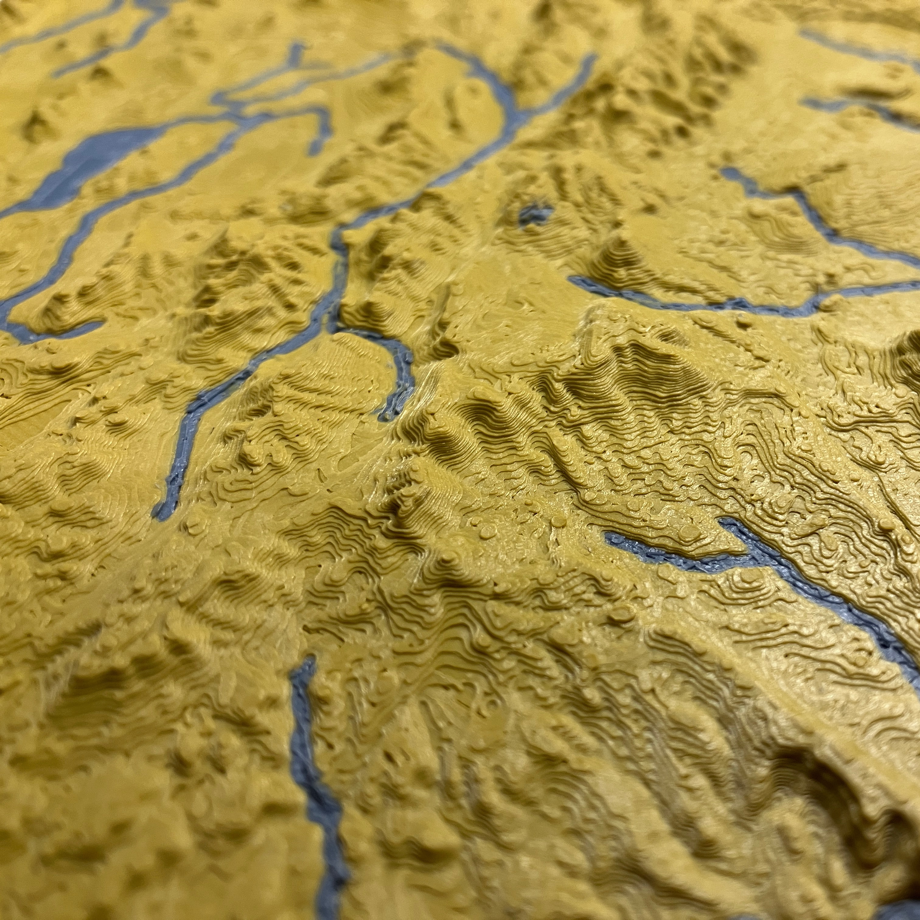
Get ready to print multi-color topo maps with this small test model centered near Trinity Forest, CA
- Rating
- 0 / 5
- Likes
- 9
- Downloads
- 60
- Makes
- 0
- Views
- 609
- Reviews
- 0
Updated at source:
Model information
- Source
- Printables
- Category
- Test Models
- License
- Creative Commons — Attribution — Noncommercial
This test map model tests your printer's capabilities and slicer settings based on the features below.
Once you have dialed in your settings, you're ready to print the full size topographic map models.
- Mountains
- Retraction
- Cooling
- Stringing
- Flow
- Wall Ordering
- Plains and Valleys
- Top Surface Finish
- Ironing
- Skin overlap
- Infill
- Puzzle piece borders (Test model top/bottom edge interlocks with if you print 2 to test the fit.)
- Printer XY resolution
- Possible overextrusion
- Curve/Arc performance
- Water features
- Multi-material/extruder alignment
- Multi-material prime/purge calibration
- Initial Layer Settings
- Build plate adhesion

If your printer only prints a single color, you can either:
- Print both the land and water objects in the same color.
- Print only the land object.
Recommended layer height is 0.1mm or lower for optimal detail and a harder test, but the maps will print fine at thicker layer heights with less detail. This test model is at the same scale (1:2500000) as the other USA state topo maps.
The pictures with 2 prints side by side show examples of before/after calibration.
You can download my Cura 5 print settings profile (0.4mm nozzle) under Files if you need a starting point.