P
PrintablesStřední odborná škola NET OFFICE Orlová

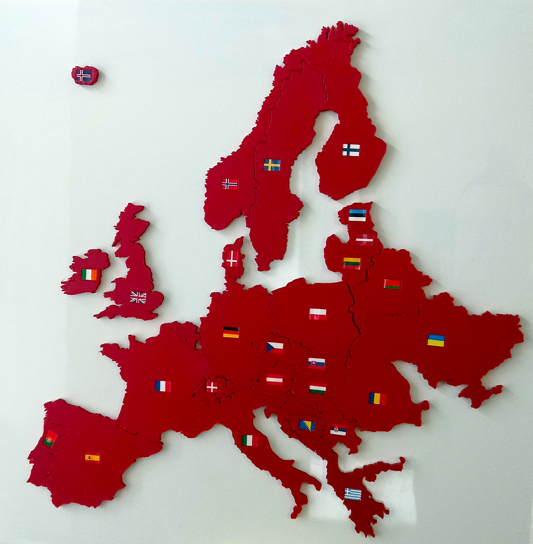
Map of Europe with Flags
A simple teaching aid to locate European countries and identify their flags. It is designed for students aged 12 to 15.
- Downloads
- 1,301
- Likes
- 214
- Rating
- 2
Counting matching models…
A simple teaching aid to locate European countries and identify their flags. It is designed for students aged 12 to 15.
Jednoduchá pomůcka pro určení geografické polohy jednotlivých států Evropy včetně poznávaní vlajek států. Pomůcka je určena pro II. Stupeň základních škol.
These are all currently available results.