
P
PrintablesDaniel Wenger
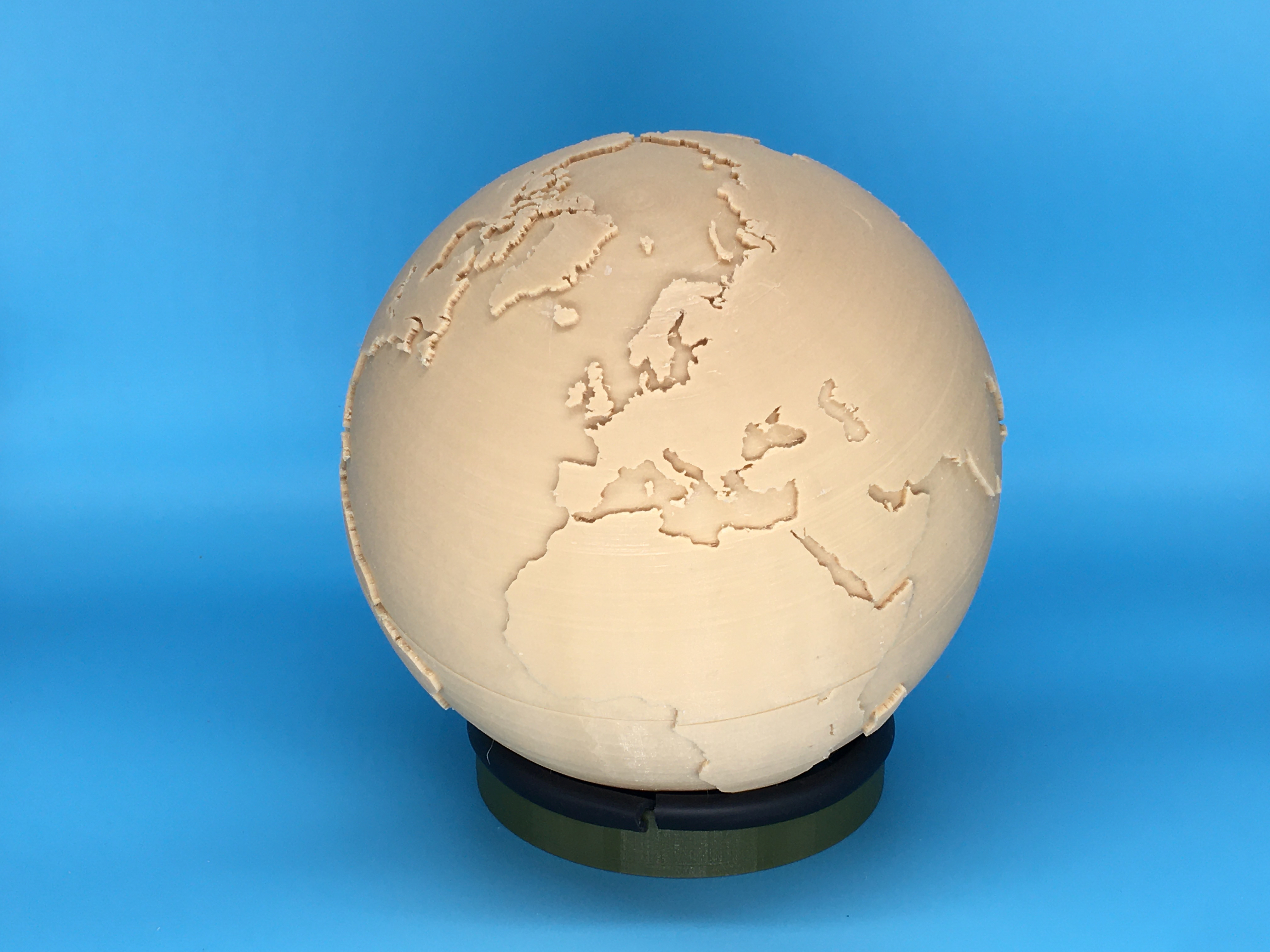
World Globe
The contour data for the largest 60 land masses and 6 of the largest lakes were plotted on two spheres, 100mm and 102mm radius.. Arcs were made between contour points to generate closed paths. Lofts were then made between the two spheres.…
- Downloads
- 6,999
- Likes
- 407
- Rating
- 4.9