Search results: pog

Sort order

700 models

Ultra-high resolution Earth topography

This extremely high resolution topographic globe of the earth prints in two halves, using around 350g PLA filament. It was created using blender, and adds small step at the coastline to aid with recognition of coastlines. The complete…

Downloads
2,578
Likes
348
Rating
5
P
PrintablesMiniWorld3D

Aotearoa New Zealand - Topographic Map

Nau mai, haere mai ki Aotearoa New Zealand! Welcome to Aotearoa New Zealand! This is a rather simple model, based on an existing one with a few additions. The source is on Thingiverse by Suptommy9011, the resolution is not mind-blowing…

Downloads
272
Likes
44
Rating
5
P
Printablesgdownton

POGs and Slammers - Set 1 of 7 (MMU)

I wanted to make a set of POGs and Slammers similar to those made famous in the kid’s game of the 90’s. The history and gameplay can be found here: https://en.wikipedia.org/wiki/Milk_caps_(game) . I used the dimensions found here…

Downloads
243
Likes
28
Rating
0
P
PrintablesMarwan F

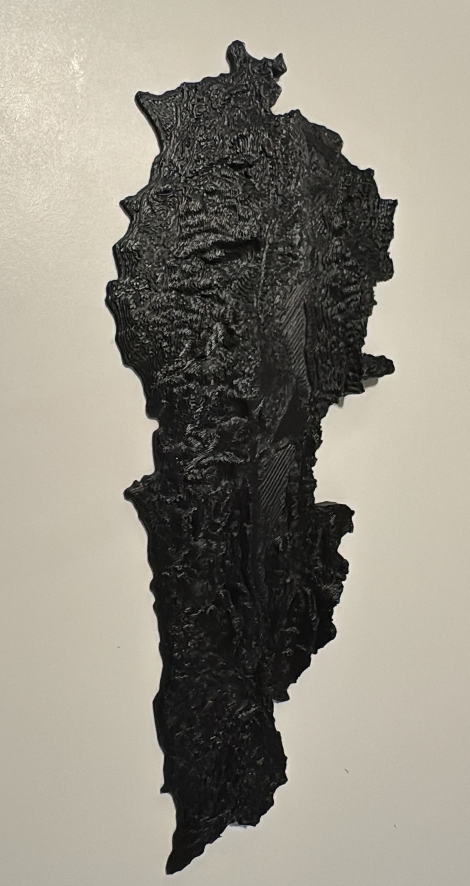
Topographic map - Lebanon (optimized)

Border fixed manually, point by point. Total surface 10500 Km2 → 99% accurate. Z exaggerated x3.

Downloads
226
Likes
10
Rating
0
P
PrintablesTocxo

TOPOGRAPHIC ZEN GARDEN

This model represents a reinterpretation of a classic Zen sand garden. As a 3D printing enthusiast, I am captivated by the distinct lines that this manufacturing method leaves on the models. In this design, we have replaced the lines in…

Downloads
173
Likes
78
Rating
5
P
PrintablesCHLimerick

Island of Ireland Topographical Map

Removed the rest of continental Europe and left the Island of Ireland on its own. Added multiple colour changes to make the model pop.

Downloads
153
Likes
15
Rating
0
P
PrintablesSquidVicious

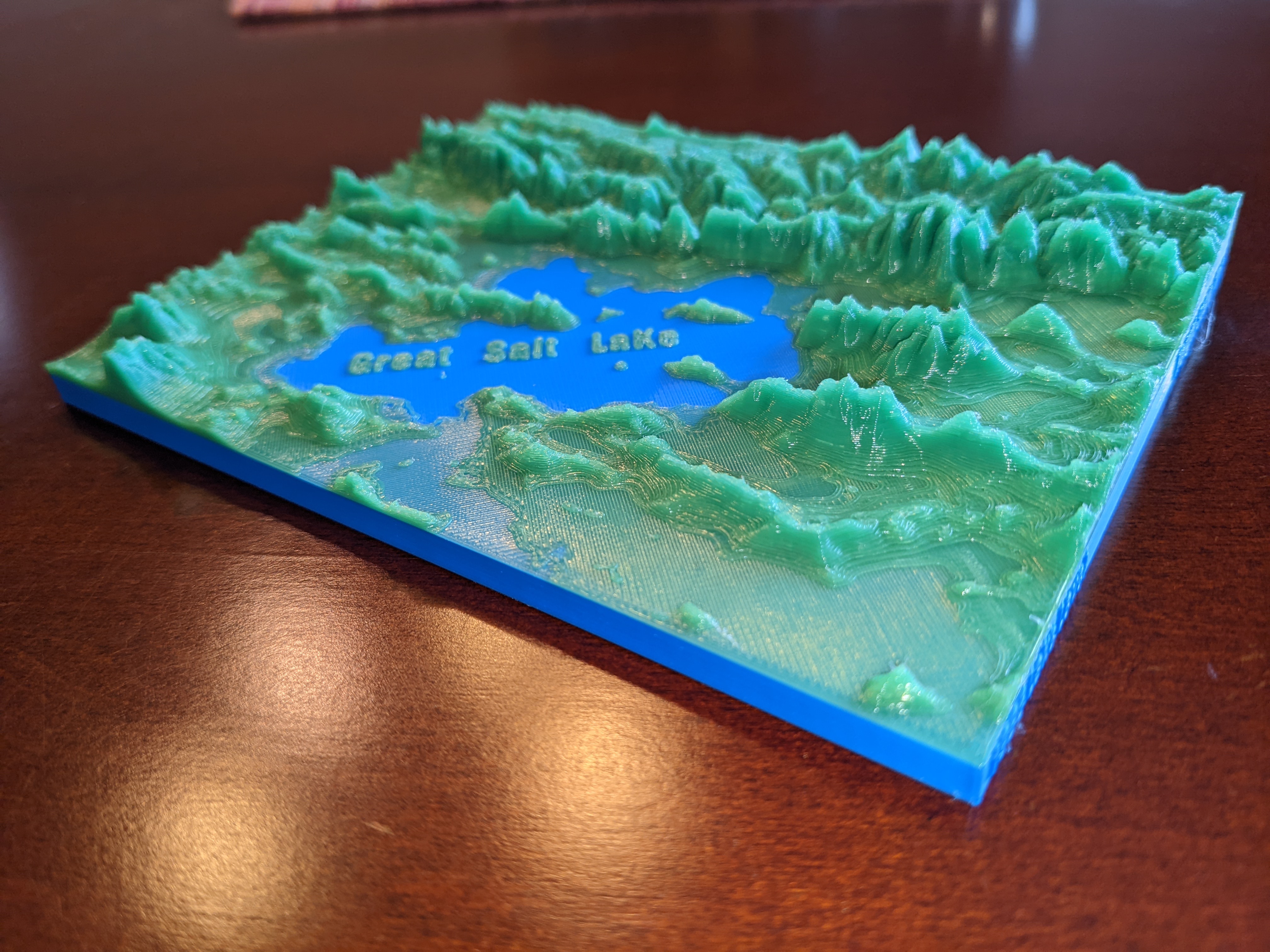
Great Salt Lake Topography (1986)

From Wikipedia: “The Great Salt Lake is the largest saltwater lake in the Western Hemisphere , [1] and the eighth-largest terminal lake in the world. [2] It lies in the northern part of the U.S. state of Utah , and has a substantial…

Downloads
151
Likes
29
Rating
0
P
Printables3DHippo

Not a Lego Pogo Stick

A large company that makes building block toys and starts with L, has discovered 3D printing for themselves, and printed a limited number of Pogosticks. So I thought to myself, I can do that too. I am in no way in cooperation with this…

Downloads
141
Likes
22
Rating
5
P
Printablesgdownton

POGs and Slammers - Set 7 of 7 (MMU)

I wanted to make a set of POGs and Slammers similar to those made famous in the kid’s game of the 90’s. The history and gameplay can be found here: https://en.wikipedia.org/wiki/Milk_caps_(game) . I used the dimensions found here:…

Downloads
128
Likes
18
Rating
0
P
Printablesgdownton

POGs and Slammers - Set 6 of 7 (MMU)

I wanted to make a set of POGs and Slammers similar to those made famous in the kid’s game of the 90’s. The history and gameplay can be found here: https://en.wikipedia.org/wiki/Milk_caps_(game) . I used the dimensions found here:…

Downloads
126
Likes
21
Rating
0
P
PrintablesLars Brockmann

Topographic map - Bern, Switzerland

!! Print at 3x scale, else tolerance will be incorrect !! The following datasets were used: height model: swissALTI3D landscape model (Buildings): swissBUILDINGS3D 2.0 Steps: Combining the height model and the landscape model into a…

Downloads
124
Likes
31
Rating
5
P
Printablesgdownton

POGs and Slammers - Set 5 of 7 (MMU)

I wanted to make a set of POGs and Slammers similar to those made famous in the kid’s game of the 90’s. The history and gameplay can be found here: https://en.wikipedia.org/wiki/Milk_caps_(game) . I used the dimensions found here:…

Downloads
123
Likes
16
Rating
0

The Moon - 4 Color w/filament changes (1 at a time) relief topography

Right now I'm calling this style “ Relief Topography ” Start with dark/black and each change move lighter. 4 colors/ 3 changes total. Link to Fine Art Collection:…

Downloads
118
Likes
80
Rating
5
P
PrintablesIgnacio Gabriel

Typographic stencil ruler, for markers and Sharpies.

Typographic Stencil Ruler for Markers and Sharpies Description: This versatile typographic stencil ruler is designed for use with markers, Sharpies, and other broad-tip pens. It features characters from the Pauza Stencil typeface,…

Downloads
115
Likes
23
Rating
5

Marilyn Monroe - 5 Color w/filament changes (1 at a time) relief topography

Right now I'm calling this style “ Relief Topography ” This is built for single-color printers so start with black and work your way to white. Filament change stops are included. Link to Fine Art Collection:…

Downloads
113
Likes
36
Rating
0

Albert Einstein - 5 Color w/filament changes (1 at a time) relief topography

I'm calling this style “ Relief Topography ” Start with dark/black and each change move lighter. 5 colors/ 4 changes total. Link to Collection: https://www.printables.com/social/336804-triple-g-workshop/collections/345687 Quick Guide to…

Downloads
103
Likes
51
Rating
0
P
Printablesgdownton

POGs and Slammers - Set 2 of 7 (MMU)

I wanted to make a set of POGs and Slammers similar to those made famous in the kid’s game of the 90’s. The history and gameplay can be found here: https://en.wikipedia.org/wiki/Milk_caps_(game) . I used the dimensions found here:…

Downloads
101
Likes
17
Rating
0
P
Printablesgdownton

POGs and Slammers - Set 3 of 7 (MMU)

I wanted to make a set of POGs and Slammers similar to those made famous in the kid’s game of the 90’s. The history and gameplay can be found here: https://en.wikipedia.org/wiki/Milk_caps_(game) . I used the dimensions found here:…

Downloads
95
Likes
17
Rating
0
P
Printablesgdownton

POGs and Slammers - Set 4 of 7 (MMU)

I wanted to make a set of POGs and Slammers similar to those made famous in the kid’s game of the 90’s. The history and gameplay can be found here: https://en.wikipedia.org/wiki/Milk_caps_(game) . I used the dimensions found here:…

Downloads
91
Likes
19
Rating
0
P
PrintablesGamerMechanic81

Road America Racetrack Topographic Map Elkhart Lake Wisconsin

I found a way to generate topographic maps from saetlite data, then used prusaslicer 2.7 to emboss a track map on it that matches the curves of the hills in the area. the result is a 3d printable topographic track map The finish Line is…

Downloads
87
Likes
16
Rating
5

Audrey Hepburn - 5 Color w/filament changes (1 at a time) relief topography

Right now I'm calling this style “ Relief Topography ” Start with dark/black and each change move lighter. 5 colors/ 4 changes total. Link to my Collection: https://www.printables.com/social/336804-triple-g-workshop/collections/345687…

Downloads
59
Likes
21
Rating
5
P
Printableshartzell

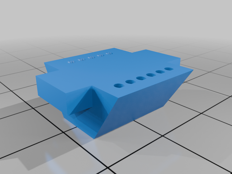
Tuya CB2S pogo pin jig

I needed something to make connections to the pads while I tried to flash a KMC Smart Tap Mini with OpenBK. It uses a Tuya CB2S module that's edge-mounted through the main circuit board. This jig can be held/clamped against the bit that…

Downloads
56
Likes
3
Rating
0

Tina Turner - 5 Color w/filament changes (1 at a time) relief topography

I'm calling this style “ Relief Topography ” Start with dark/black and each change move lighter. 5 colors/ 4 changes total. Link to the complete Collection: https://www.printables.com/social/336804-triple-g-workshop/collections/345687…

Downloads
55
Likes
14
Rating
0

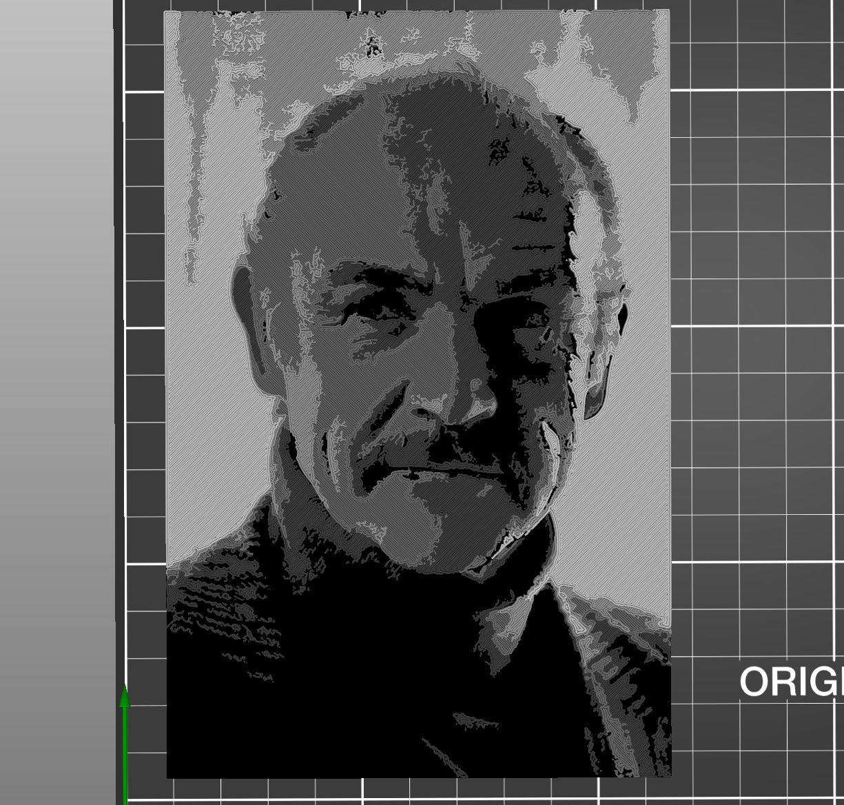
Sean Connery - 5 Color w/filament changes (1 at a time) relief topography

I'm calling this style “ Relief Topography ” Start with dark/black and each change move lighter. 5 colors/ 4 changes total. Link to the complete Collection: https://www.printables.com/social/336804-triple-g-workshop/collections/345687…

Downloads
32
Likes
7
Rating
0
P
PrintablesT-10

Guitar Wall Mount - Topography Optimized

A topography optimized mount to hang your guitar on the wall. Should fit most full-sized guitars. Use 3-4 perimeters and higher infill for strength. Uses 3 screws to mount to the wall. Use one longer deck screw to mount to a stud, use two…

Downloads
22
Likes
5
Rating
0
P
Printablesharbormaster

Topographic Map of Valdez, Alaska BP61xb 61.061533 -146.001906

A 3D topographic map just outside of Valdez, Alaska centered on my home. Located at BP61xb | 61.061533 -146.001906.

Downloads
21
Likes
3
Rating
0
P
PrintablesWolfgang

Earth Topography and Landscape Prints

Peak Printer is an Open Source Python project ( PeakPrinter on GitHub ) for downloading, processing, and converting Copernicus DEM (Digital Elevation Model) data into 3D printable STL files. The project enables users to select a…

Downloads
12
Likes
5
Rating
0
P
PrintablesChrashice

Topographic World Map

Explore the world in 3D with this topographic world map puzzle! This unique design includes all elevations, allowing you to feel the contours of each continent. By printing it with 100 % the world map has a size of 1800 x 750 mm. The…

Downloads
4,510
Likes
1,836
Rating
4.8
P
Printableszayzayzito

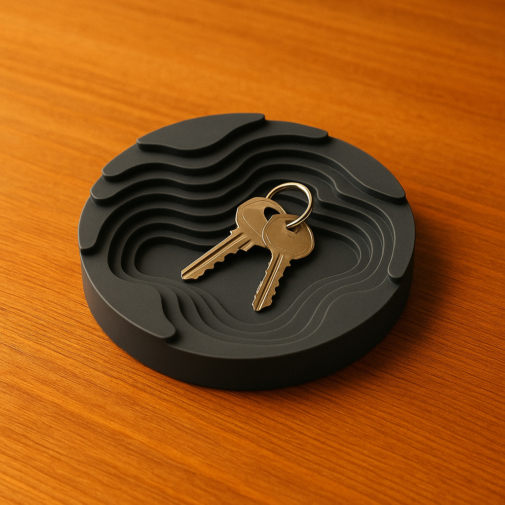
Topographic Catch All Tray

A Topographic style tray to hold your keys, wallet, or whatever little things you've got lying around, there's no rules!! :) I made this inspired by the style of topography and thought that a tray of that manner would be pretty neat!

Downloads
2,491
Likes
917
Rating
4.93
P
PrintablesWindchill

Topographic Continents

I started out with the world map from toddsplod67 and ripped out just the continents. https://www.thingiverse.com/thing:116228 My son then printed them for his grade geography project. No guarantees on actual geographic content. Island…

Downloads
2,002
Likes
404
Rating
5
P
Printablestato_713

Earth with exaggerated topography scaled one in sixty million

Originally published here: Earth with exaggerated topography scaled one in sixty million by tato_713 - Thingiverse These models were made using MATLAB R2016a with a topographical map of the Earth, including the seafloor. Like other models…

Downloads
1,575
Likes
130
Rating
4.75
P
PrintablesOak

5-Color Topographic Earth Globe

This is a 5-color globe in high definition, with topographic and bathymetric exaggerated relief. It defaults to 32cm diameter, but can also look good in smaller sizes - cover picture is a 20cm diameter version. It's provided in two…

Downloads
1,551
Likes
190
Rating
5
P
PrintablesMZ4250

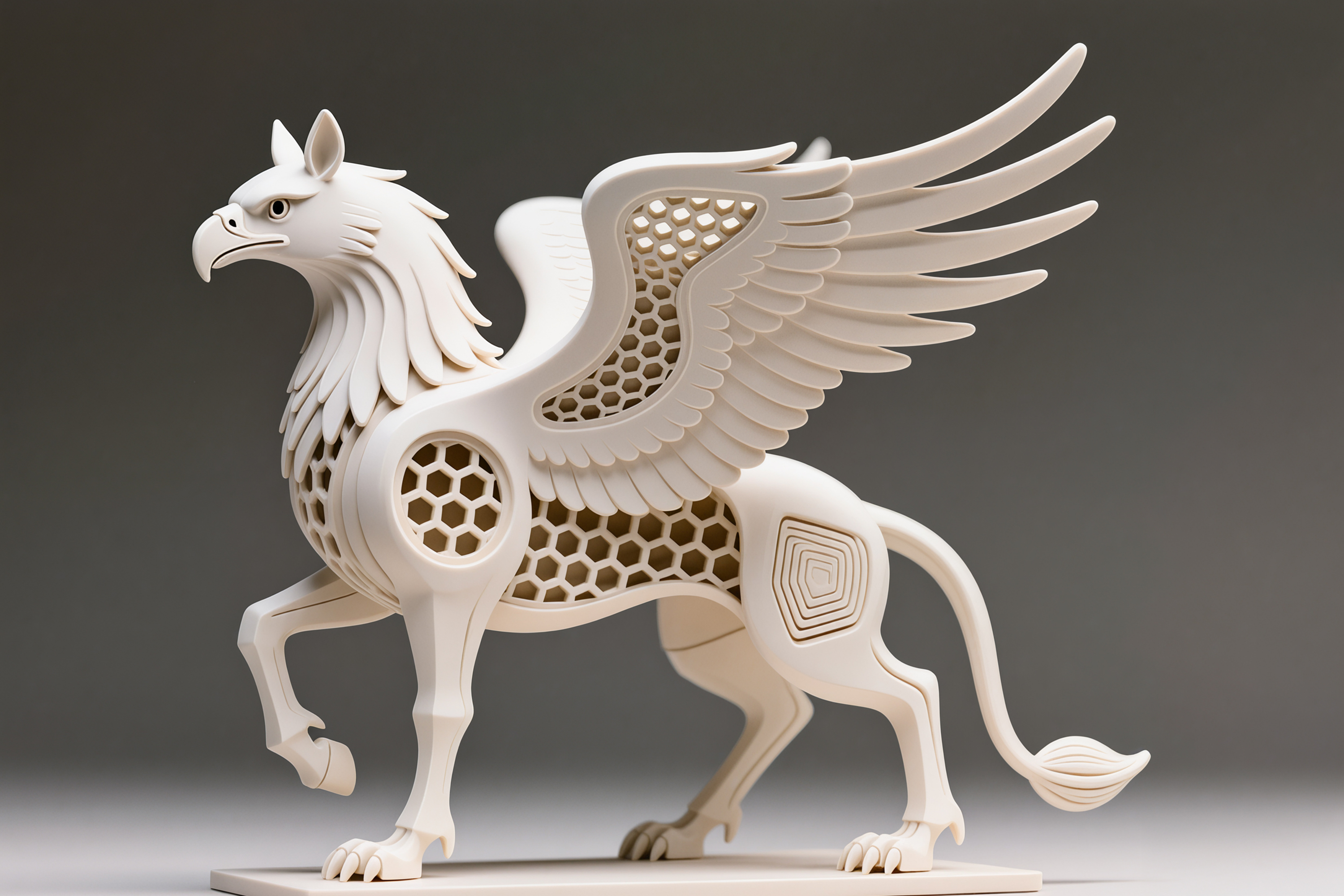
Hippogriff Updated

Want to access even more models not found here? Interested in supporting my efforts making free models for the world to enjoy? Check out my patreon page here: https://www.patreon.com/mz4250 Patrons have access to all my files in one…

Downloads
1,311
Likes
73
Rating
5
P
Printablesmalenma3

Europe 3D terrain (topography) model

This project contains terrain maps of almost all European countries. Countries not included are either too small or not fully in Europe. Those are: Greenland, Malta, Andorra, Liechtenstein, Monaco, San Marino, Vatican, Russia and some…

Downloads
1,139
Likes
203
Rating
5
P
PrintablesAnson Liu

Texas, USA (TX) Topographic Map with Rivers

Texas, USA (TX) Topographic Relief Map with Rivers and Coastal Waters Texas, USA mountains, coastlines, streams, and lakes in a dual or single color topographic and hydrographic map! All topographic states in the USA of Plastic collection…

Downloads
1,098
Likes
124
Rating
5
P
PrintablesDragon

All Topographic States & Outlined United States

I wanted to create a model of each US state so that I could use them in future projects when needed. Additionally, I created an outline of the United States while working on this task. Here's a video I made about this mini project…

Downloads
1,052
Likes
116
Rating
5
P
PrintablesAnson Liu

Contiguous USA (Lower 48) Topographic Map with Hydrographic Features + Cura Print Settings Profile

Contiguous United States (Lower 48) Topographic Map with Hydrographic Features For those times when you just want to print everything at once – this is the lower 48 states in the USA of Plastic project combined into a single model. Lower…

Downloads
926
Likes
104
Rating
5
P
PrintablesJace1969

POGO Monkey Mask GTA V Remix

Here is POGO Monkey Mask GTA V Remix. Print instructions Category: 3D Printing

Downloads
860
Likes
67
Rating
0
P
PrintablesSaphira

Legend of Zelda Breath of the Wild Topographic Map

Inspired by topographic models of mountains I decided to create a topographic model of the Breath of The Wild map for my brother. I made this model in blender using a height map projected onto a plane before splitting it into six pieces…

Downloads
818
Likes
234
Rating
5

XTEINK X4 Pro Pogo Pin Charging Stand

Two models are available: One that supports case-less AND my case. The other changes the location of the charge port to be higher, if you're using a case that needs it. Print the stand on its side, hole facing up. No supports needed. For…

Downloads
785
Likes
82
Rating
5
P
PrintablesAnson Liu

Washington, USA (WA) Topographic Map with Hydrographic Features

Washington, USA (WA) Topographic Relief Map with Rivers and Coastal Waters Washington, USA mountains, coastlines, streams, and lakes in a dual or single color topographic and hydrographic map! All topographic states in the USA of Plastic…

Downloads
778
Likes
139
Rating
5
P
PrintablesAnson Liu

Utah, USA (UT) Topographic Map with Rivers

Utah, USA (UT) Topographic Relief Map with Rivers and Coastal Waters Utah, USA mountains, coastlines, streams, and lakes in a dual or single color topographic and hydrographic map! All topographic states in the USA of Plastic collection…

Downloads
748
Likes
77
Rating
5
P

Hippogreif, Hexa Model

Hippogreif, Hexa Model

Downloads
722
Likes
194
Rating
4.33
P
Printablesskoro

Mount Fuji Topography Model

The 3D model of the highest mountain in Japan - Mount Fuji . With a summit elevation of 3,776 m (12,388 ft) is the second-highest volcano located on an island in Asia. The model was precisely modeled from digital elevation data. The…

Downloads
718
Likes
27
Rating
5
P
PrintablesAnson Liu

California, USA (CA) Topographic Map with Hydrographic Features

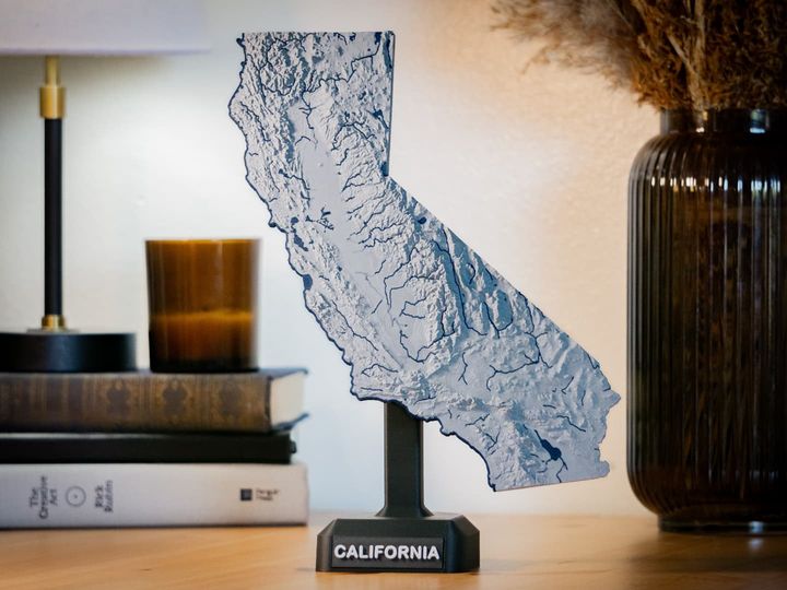
California, USA (CA) Topographic Relief Map with Rivers and Coastal Waters California, USA mountains, coastlines, streams, and lakes in a dual or single color topographic and hydrographic map! All topographic states in the USA of Plastic…

Downloads
705
Likes
121
Rating
5
P
PrintablesJosé Pedro

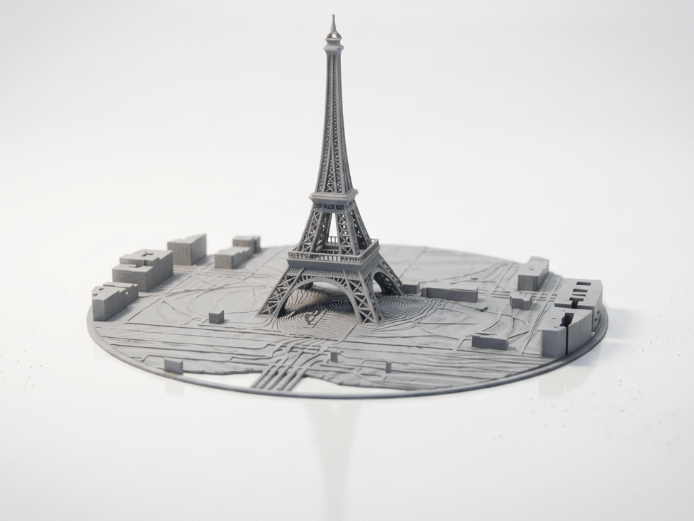
Eiffel Tower & Paris City Circular Topographic Map

Celebrate the heart of Paris with this circular topographic map featuring the Eiffel Tower and surrounding cityscape . The model captures terrain, park areas, and urban layout in a detailed relief format, perfect for collectors,…

Downloads
699
Likes
144
Rating
5
P
PrintablesAnson Liu

Idaho, USA (ID) Topographic Map with Hydrographic Features

Idaho, USA (ID) Topographic Relief Map with Rivers and Coastal Waters Idaho, USA mountains, coastlines, streams, and lakes in a dual or single color topographic and hydrographic map! All topographic states in the USA of Plastic collection…

Downloads
698
Likes
54
Rating
5
P
Printablesnebkor

Topographic California

20% infill was more than enough; 10% is probably enough. I made the model to be carved with a CNC mill out of wood, and printed it out as a prototype.

Downloads
672
Likes
53
Rating
5
P
PrintablesJosé Pedro

New York City Skyline – Circular Topographic Map STL

Celebrate the energy and architecture of New York City with this circular topographic map featuring its iconic skyline, waterfront, and street layout . This model captures Manhattan’s distinctive shape, major skyscrapers, and surrounding…

Downloads
645
Likes
76
Rating
0
P
PrintablesAnson Liu

Colorado, USA (CO) Topographic Map with Hydrographic Features

Colorado, USA (CO) Topographic Relief Map with Rivers and Coastal Waters Colorado, USA mountains, coastlines, streams, and lakes in a dual or single color topographic and hydrographic map! All topographic states in the USA of Plastic…

Downloads
641
Likes
75
Rating
5
P
PrintablesAnson Liu

North Carolina, USA (NC) Topographic Map with Rivers

North Carolina, USA (NC) Topographic Relief Map with Rivers and Coastal Waters North Carolina, USA mountains, coastlines, streams, and lakes in a dual or single color topographic and hydrographic map! All topographic states in the USA of…

Downloads
639
Likes
70
Rating
5
P
Printablespeppe89

CORNO NAPOLETANO PORTAFORTUNA DA APPOGGIO CON CORONA CELTICA

un corno napoletano pensato per portare fortuna in casa, infatti questo corno puoi tranquillamente poggiarlo nella sua corona e tenerlo su un qualsiasi mobile in casa così da tenere le malelingue fuori dalla portata della famiglia stampa…

Downloads
635
Likes
19
Rating
0
P
Printablestato_713

Mars with exaggerated topography scaled one in sixty million

Originally published here: Mars with exaggerated topography scaled one in sixty million by tato_713 - Thingiverse This model was made using the latest MOLA data processed with MATLAB R2020a. Like most of my topographical models its relief…

Downloads
629
Likes
64
Rating
5
P
PrintablesSchweizermaker

Continental Europe Topographic Relief Puzzle

Update 2022-04-09: Additional countries now available as an add-on: https://www.thingiverse.com/thing:5341945 This is a topographic puzzle of continental Europe. Scale is 1:5'000'000 and vertical exaggeration is 10x. Small states…

Downloads
628
Likes
164
Rating
5
P
PrintablesLogScript

Brasil Topographic Map

Single stl of Brazil, derived from AW3D30 data and vertical exaggeration set at 100x. Used https://touchterrain.geol.iastate.edu/ to generate the model.

Downloads
619
Likes
56
Rating
5
P
Printablestato_713

Mercury with exaggerated topography scaled one in sixty million

Originally published here: Mercury with exaggerated topography scaled one in sixty million by tato_713 - Thingiverse This model was made using MATLAB R2016a with the data from the MESSENGER mission available in the USGS site. The relief…

Downloads
608
Likes
44
Rating
5
P
PrintablesAnson Liu

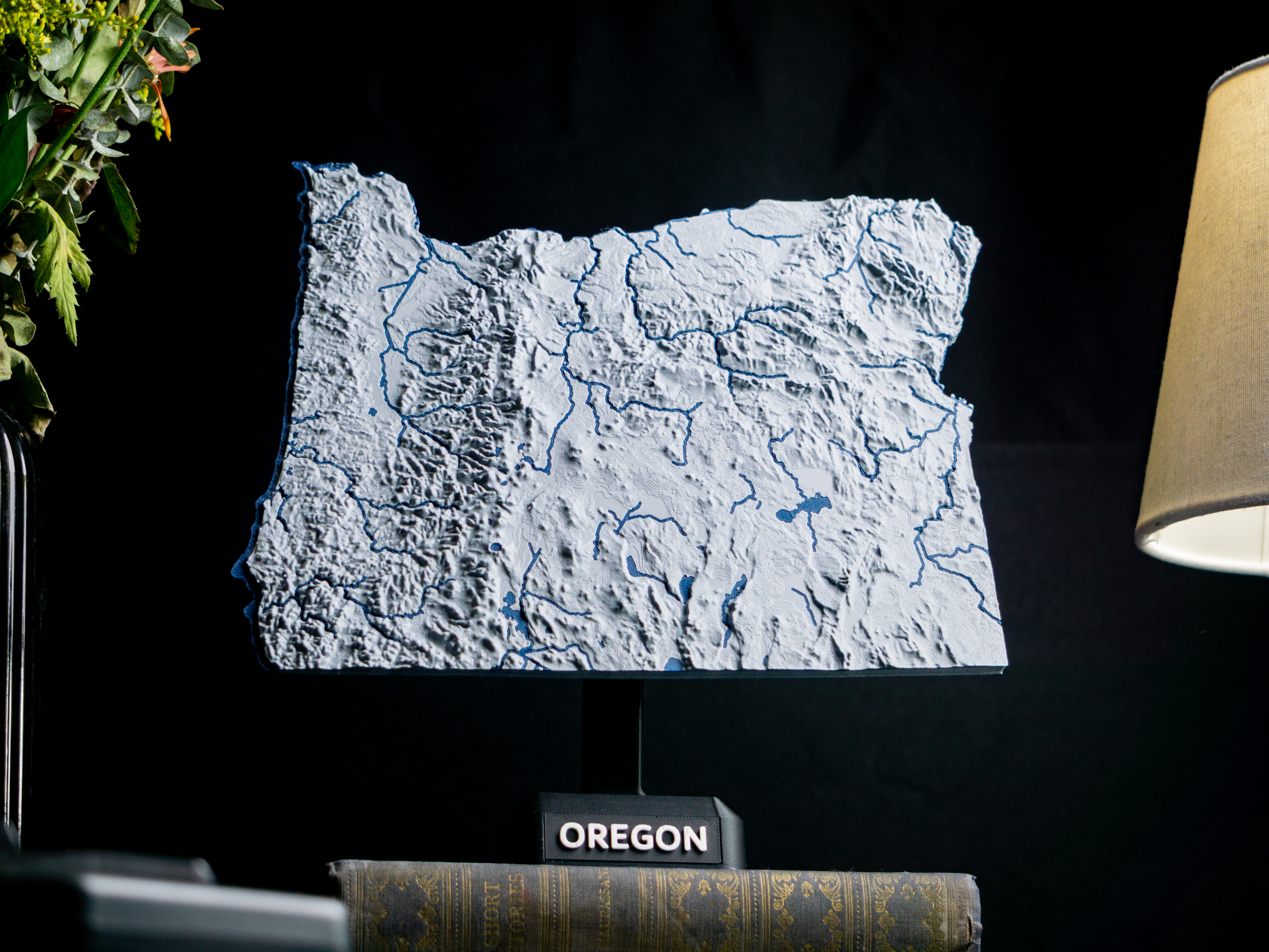
Oregon, USA (OR) Topographic Map Dual Color with Hydrographic Features

Oregon, USA (OR) Topographic Relief Map with Rivers and Coastal Waters Oregon, USA mountains, coastlines, streams, and lakes in a dual or single color topographic and hydrographic map! All topographic states in the USA of Plastic project…

Downloads
599
Likes
72
Rating
5
P
Printablestato_713

Venus with known topography scaled one in sixty million

Originally published here: Venus with known topography scaled one in sixty million by tato_713 - Thingiverse This model was made using MATLAB R2016a with the data from the Magellan mission available in the USGS site. The original map has…

Downloads
565
Likes
56
Rating
5
P
PrintablesPavol Ziacek

Slovakia topographic 3D map

3d model of Slovakia generated by Touch terrain page: https://touchterrain.geol.iastate.edu/main Kml geographic data were generated manually in Google Earth. See attached files if you want to use them on your own. The attached stl files…

Downloads
563
Likes
51
Rating
5
P
Printablestato_713

Luna with exaggerated topography scaled one in twenty million

Originally published here: Luna with exaggerated topography scaled one in twenty million by tato_713 - Thingiverse This model is made using the most up to date topographic map from the NASA site, from the latest MOLA data. The topography…

Downloads
561
Likes
48
Rating
4.67
P
PrintablesAnson Liu

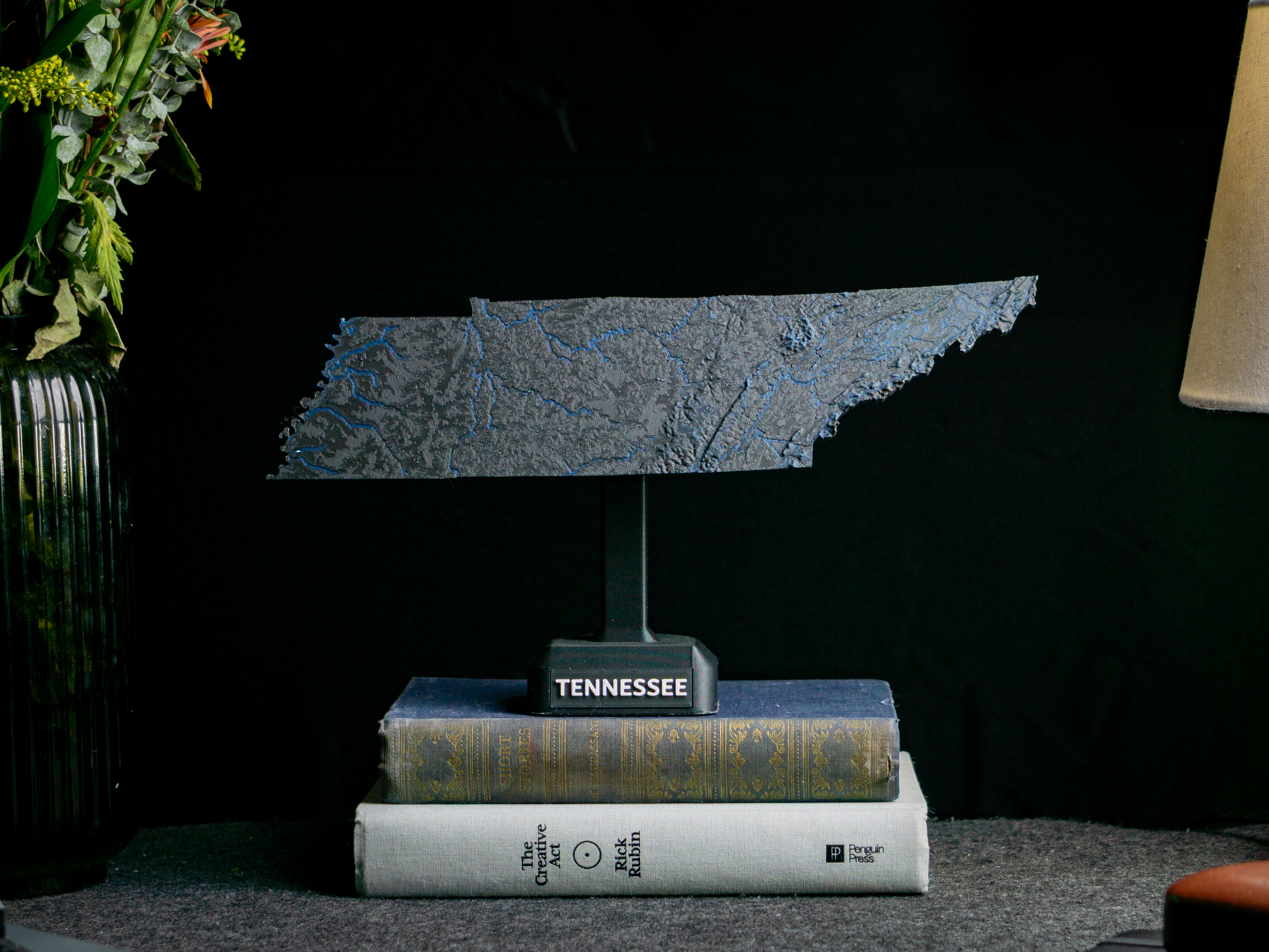
Tennessee, USA (TN) Topographic Map with Rivers

Tennessee, USA (TN) Topographic Relief Map with Rivers and Coastal Waters Tennessee, USA mountains, coastlines, streams, and lakes in a dual or single color topographic and hydrographic map! All topographic states in the USA of Plastic…

Downloads
560
Likes
53
Rating
5
P
PrintablesAnson Liu

Florida, USA (FL) Topographic Map with Hydrographic Features

Florida, USA (FL) Topographic Relief Map with Rivers and Coastal Waters Florida, USA mountains, coastlines, streams, and lakes in a dual or single color topographic and hydrographic map! All topographic states in the USA of Plastic…

Downloads
558
Likes
59
Rating
5
P
PrintablesAnson Liu

Alaska, USA (AK) Topographic Relief Map with Rivers and Coasts

Alaska, USA (AK) Topographic Relief Map with Rivers and Coastal Waters Alaska, USA mountains, coastlines, streams, and lakes in a dual or single color topographic and hydrographic map! All topographic states in the USA of Plastic…

Downloads
539
Likes
53
Rating
4
P
PrintablesSchweizermaker

USA (lower 48) topographic relief puzzle

Update 2022-04-13: Alaska is now also available here: https://www.thingiverse.com/thing:5346700 Update 2022-03-14: Hawaii is now also available here: https://www.thingiverse.com/thing:5317621 This is a 47 tile topographic puzzle of the…

Downloads
536
Likes
121
Rating
5
P
PrintablesAnson Liu

West Virginia, USA (WV) Topographic Map with Rivers

West Virginia, USA (WV) Topographic Relief Map with Rivers and Coastal Waters West Virginia, USA mountains, coastlines, streams, and lakes in a dual or single color topographic and hydrographic map! All topographic states in the USA of…

Downloads
527
Likes
47
Rating
5
P
PrintablesAnson Liu

Montana, USA (MT) Topographic Map with Rivers

Montana, USA (MT) Topographic Relief Map with Rivers and Coastal Waters Montana, USA mountains, coastlines, streams, and lakes in a dual or single color topographic and hydrographic map! All topographic states in the USA of Plastic…

Downloads
507
Likes
40
Rating
5
P
PrintablesHasenpups

Flash adapter with pogo test pins

Flash adapter with pogo test pins for up to 6 pins Based on the work of Patrik Mayer: https://twitter.com/pregopm/status/1285850490698375168 The following parts are required: 3D prints 1 x M3x30 screw 2 x M3x 10 screw 1 x 8mm spring 20mm…

Downloads
506
Likes
61
Rating
4.8
P
PrintablesAnson Liu

Arizona, USA (AZ) Topographic Map with Rivers

Arizona, USA (AZ) Topographic Relief Map with Rivers and Coastal Waters Arizona, USA mountains, coastlines, streams, and lakes in a dual or single color topographic and hydrographic map! All topographic states in the USA of Plastic…

Downloads
504
Likes
56
Rating
5
P
PrintablesMSB

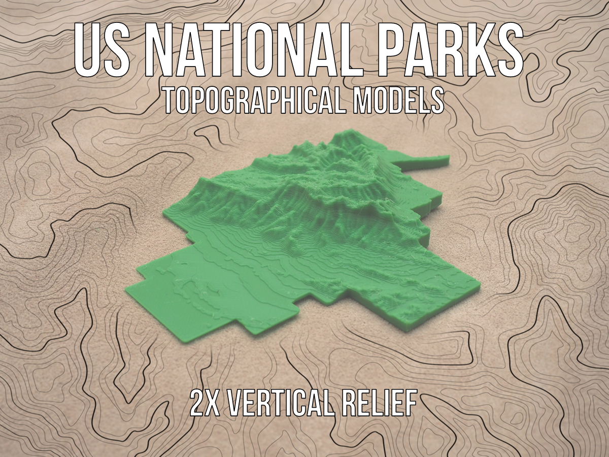
US National Parks Topographical Models - 2x Vertical Relief

Each of the models of the parks are scaled to the large dimension being around 200mm in order to fit on the printer bed. Due to the large size variation among the National Parks, the models are not scaled to each other. All of these…

Downloads
503
Likes
76
Rating
0

Moon topography

This is my variant of a high resolution moon topography globe which has an "aesthetically pleasing" vertical exaggeration. Most of the other models available were intended as or are derived from lithophanes - thus they actually have a…

Downloads
503
Likes
133
Rating
0
P
PrintablesTh3Rom3

Alternative Case for AK2 Plus Intel N100 Mini PC (Firebat, Kamrui, NiPoGi) [Updated 120mm Fan Version]

Update: Added 120mm fan version A revised version which enables 120mm case fans to be mounted as lid has been added. I ran this setup with a fan powered by the AK2 Plus board directly for over a week without any stability problems. Read…

Downloads
475
Likes
43
Rating
5
P
PrintablesBreeki

Taiwan Topographical Map

Topographical model of Taiwan, not to be confused with China. Print Settings Printer Brand: Prusa Printer: I3 MK3S Supports: No Resolution: 0.2 Filament: Prusa PLA If you'd like you can buy me a coffee here:…

Downloads
453
Likes
38
Rating
5
P
PrintablesAnson Liu

Georgia, USA (GA) Topographic Map with Rivers

Georgia, USA (GA) Topographic Relief Map with Rivers and Coastal Waters Georgia, USA mountains, coastlines, streams, and lakes in a dual or single color topographic and hydrographic map! All topographic states in the USA of Plastic…

Downloads
453
Likes
40
Rating
0
P
Printablesfjkraan

Pogo pin clamp block for use with Flash adapter with pogo pins

The ‘flash-adapter-with-pogo-test-pins’ is intended to be used with pogo-pins in a standard multi-pin cable header. This clamp block allows usage of single-wire headers. The dual row one is for example for the Arduino ISP connector.…

Downloads
434
Likes
51
Rating
0
P
PrintablesAnson Liu

Maryland, USA (MD) Topographic Map with Rivers

Maryland, USA (MD) Topographic Relief Map with Rivers and Coastal Waters Maryland, USA mountains, coastlines, streams, and lakes in a dual or single color topographic and hydrographic map! All topographic states in the USA of Plastic…

Downloads
419
Likes
40
Rating
0
P
PrintablesAnson Liu

Maine, USA (ME) Topographic Map with Rivers

Maine, USA (ME) Topographic Relief Map with Rivers and Coastal Waters Maine, USA mountains, coastlines, streams, and lakes in a dual or single color topographic and hydrographic map! All topographic states in the USA of Plastic collection…

Downloads
416
Likes
35
Rating
5
P
PrintablesAnson Liu

Pennsylvania, USA (PA) Topographic Map with Rivers

Pennsylvania, USA (PA) Topographic Relief Map with Rivers and Coastal Waters Pennsylvania, USA mountains, coastlines, streams, and lakes in a dual or single color topographic and hydrographic map! All topographic states in the USA of…

Downloads
416
Likes
41
Rating
5
P
PrintablesAnson Liu

Minnesota, USA (MN) Topographic Map with Rivers

Minnesota, USA (MN) Topographic Relief Map with Rivers and Coastal Waters Minnesota, USA mountains, coastlines, streams, and lakes in a dual or single color topographic and hydrographic map! All topographic states in the USA of Plastic…

Downloads
415
Likes
46
Rating
0
P
PrintablesAnson Liu

New Hampshire, USA (NH) Topographic Map with Rivers

New Hampshire, USA (NH) Topographic Relief Map with Rivers and Coastal Waters New Hampshire, USA mountains, coastlines, streams, and lakes in a dual or single color topographic and hydrographic map! All topographic states in the USA of…

Downloads
413
Likes
35
Rating
5
P
Printablesdustylavender

Topographic Skull

Wanted to play around with some spooky 3D printing using a new technique I discovered recently. This model was created from a highly detailed skull using the CAM environment in Fusion 360. By simulating a CNC operation with a large step…

Downloads
411
Likes
101
Rating
5
P
PrintablesAnson Liu

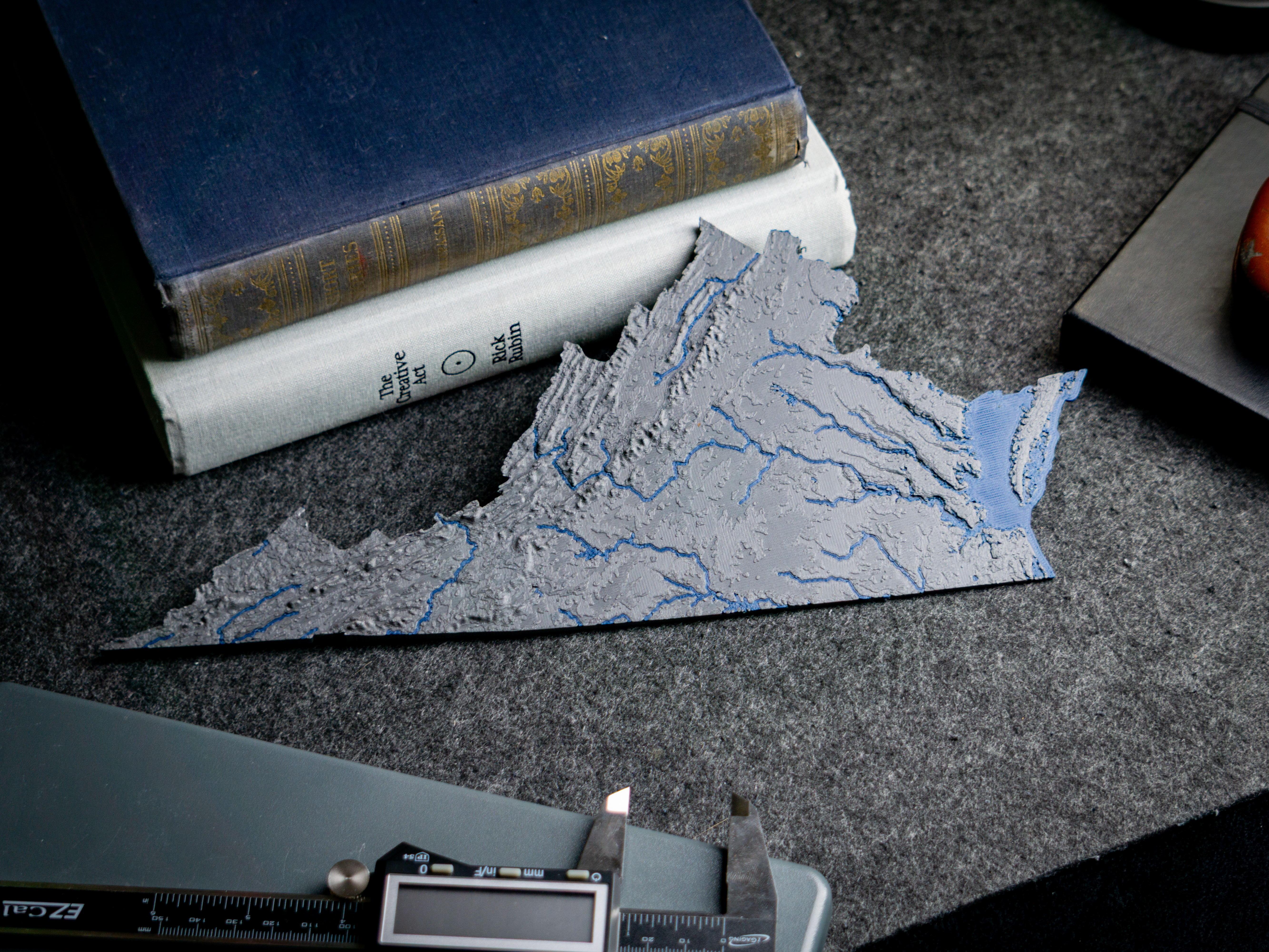
Virginia, USA (VA) Topographic Map with Rivers

Virginia, USA (VA) Topographic Relief Map with Rivers and Coastal Waters Virginia, USA mountains, coastlines, streams, and lakes in a dual or single color topographic and hydrographic map! All topographic states in the USA of Plastic…

Downloads
409
Likes
38
Rating
5
P
PrintablesAnson Liu

Oklahoma, USA (OK) Topographic Map with Rivers

Oklahoma, USA (OK) Topographic Relief Map with Rivers and Coastal Waters Oklahoma, USA mountains, coastlines, streams, and lakes in a dual or single color topographic and hydrographic map! All topographic states in the USA of Plastic…

Downloads
405
Likes
42
Rating
0
P
PrintablesAnson Liu

Arkansas, USA (AR) Topographic Map with Rivers

Arkansas, USA (AR) Topographic Relief Map with Rivers and Coastal Waters Arkansas, USA mountains, coastlines, streams, and lakes in a dual or single color topographic and hydrographic map! All topographic states in the USA of Plastic…

Downloads
404
Likes
33
Rating
0
P
PrintablesWoodenDavid

Coastline and Topographic Lithophane Earth Globes

Printed for a festival on geographic graphics, I made two lithophane lithospheres: world globes that show their detail when you turn on the LED at their center. They sit on stands on lazy susans. Only the .3mf files are uploaded for some…

Downloads
394
Likes
83
Rating
0
P
PrintablesChris

High res dual color earth with sea-floor topography

Print and scale as you like. It is wise to add (mix in) a stand that covers some of the south pole to print without support. An 18cm radius print on ultimaker2 took 1.5 weeks (in 0.1mm) but looks spectacular.

Downloads
392
Likes
59
Rating
0
P
PrintablesTheBlackMonde

Porsche Typography

Porsche Name

Downloads
387
Likes
35
Rating
4.67
P
PrintablesAnson Liu

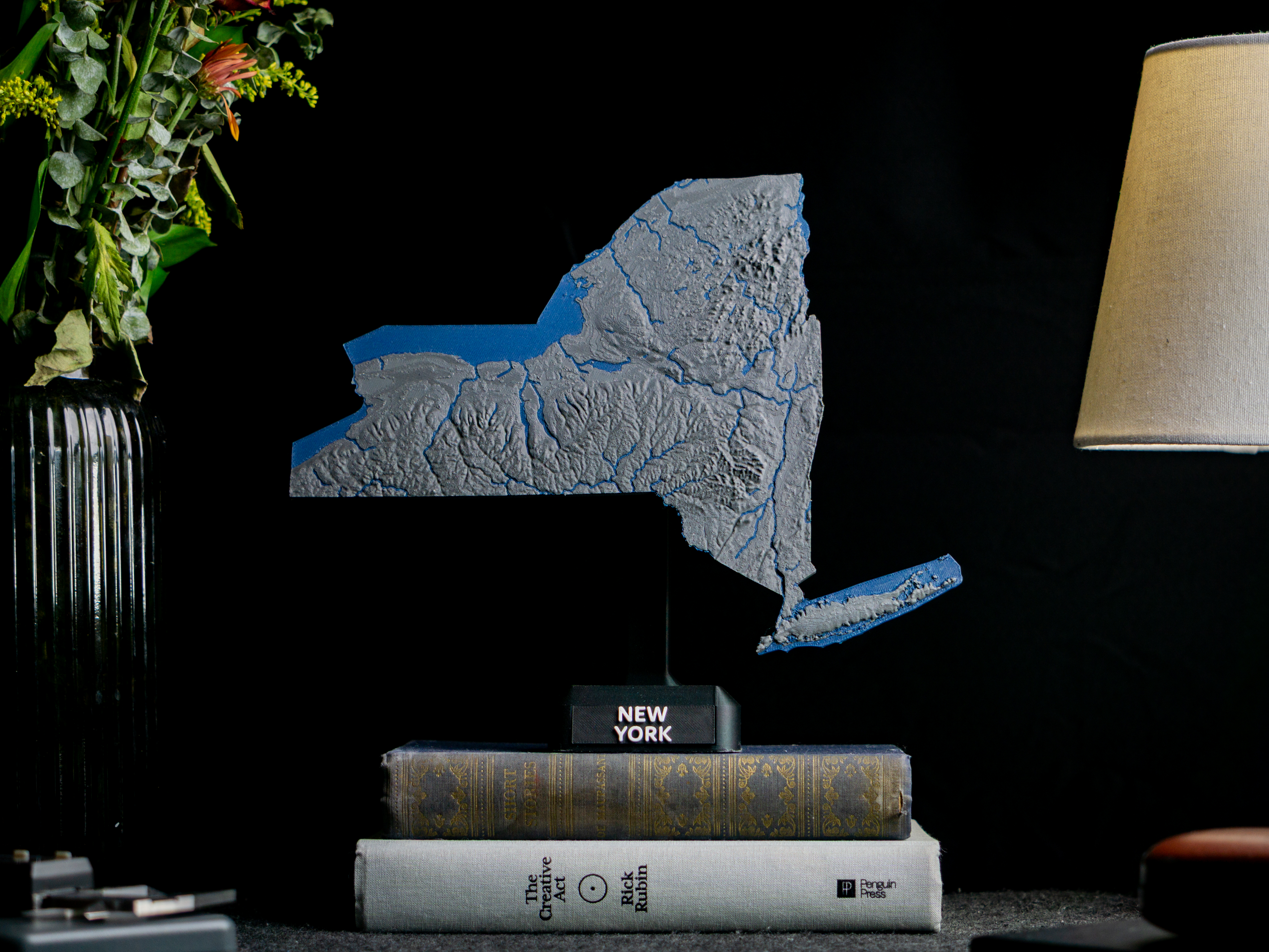
New York, USA (NY) Topographic Map with Rivers

New York, USA (NY) Topographic Relief Map with Rivers and Coastal Waters New York, USA mountains, coastlines, streams, and lakes in a dual or single color topographic and hydrographic map! All topographic states in the USA of Plastic…

Downloads
387
Likes
35
Rating
5
P
PrintablesTom C

Pogo-pin programming clip for Sonoff S31 modules

This pogo-pin clip is designed to facilitate the reprogramming of the Sonoff S31 module without the need for soldering to the pads on the circuit board. The pogo-pins I used are 0.68 mm in diameter and 16 mm in length. The holes needed to…

Downloads
385
Likes
42
Rating
5
P
Printablesbatman

USA Topography Puzzle

This is a topographical map puzzle of the USA (minus Alaska and Hawaii). I thought it would be fun for school / educational use. The main model is from https://www.thingiverse.com/thing:634007 . I added a base-plate in SuperSlicer and…

Downloads
381
Likes
65
Rating
4.67
P
Printablesvsky279

Czechia Topography 3d Map

Inspired by https://www.abclinuxu.cz/blog/jenda/2021/4/pouziti-topografickych SRTM data: https://step.esa.int/auxdata/dem/SRTMGL1/ Border path taken from: https://www.akzamberk.cz/clanek/datove-soubory-pro-xcsoar-mapa-cr Processed by…

Downloads
367
Likes
22
Rating
5

Earth topography with coastlines

This is a high detail globe of Earth's topography (highly exaggerated), designed as an educational tool. Several others existed on Thingiverse already - the difference of this one is that the outline of the continent has been raised…

Downloads
365
Likes
106
Rating
0
P
PrintablesAnson Liu

Michigan, USA (MI) Topographic Map with Great Lakes and Rivers

Michigan, USA (MI) Topographic Relief Map with Rivers and Coastal Waters Michigan, USA mountains, coastlines, streams, and lakes in a dual or single color topographic and hydrographic map! All topographic states in the USA of Plastic…

Downloads
364
Likes
37
Rating
0
P
PrintablesAnson Liu

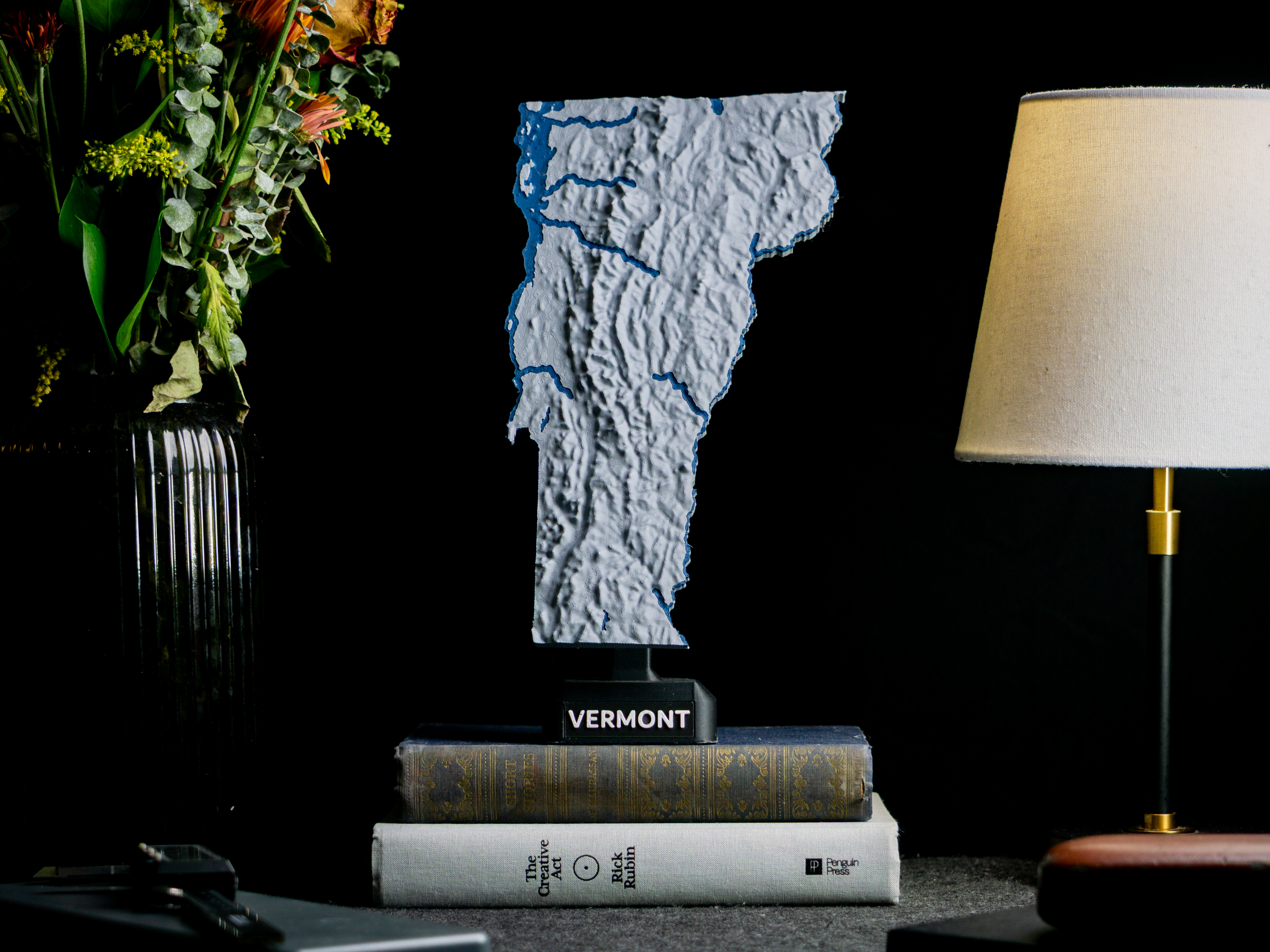
Vermont, USA (VT) Topographic Map with Rivers

Vermont, USA (VT) Topographic Relief Map with Rivers and Coastal Waters Vermont, USA mountains, coastlines, streams, and lakes in a dual or single color topographic and hydrographic map! All topographic states in the USA of Plastic…

Downloads
363
Likes
31
Rating
5
P
PrintablesAnson Liu

South Carolina, USA (SC) Topographic Map with Rivers

South Carolina, USA (SC) Topographic Relief Map with Rivers and Coastal Waters South Carolina, USA mountains, coastlines, streams, and lakes in a dual or single color topographic and hydrographic map! All topographic states in the USA of…

Downloads
358
Likes
40
Rating
0
P
PrintablesJace1969

GTA5 Pogo Monkey Face / Mask

As a request to Damien ; ) It was a challenging repair, but I have done all I can. Hope it is exactly what you were after, Cheers Jace Tried to add the link as a remix but it would not show up so here it is directly…

Downloads
351
Likes
60
Rating
0
P
PrintablesAnson Liu

Wisconsin, USA (WI) Topographic Map with Rivers

Wisconsin, USA (WI) Topographic Relief Map with Rivers and Coastal Waters Wisconsin, USA mountains, coastlines, streams, and lakes in a dual or single color topographic and hydrographic map! All topographic states in the USA of Plastic…

Downloads
347
Likes
33
Rating
0
P
PrintablesAnson Liu

New Jersey, USA (NJ) Topographic Map with Rivers

New Jersey, USA (NJ) Topographic Relief Map with Rivers and Coastal Waters New Jersey, USA mountains, coastlines, streams, and lakes in a dual or single color topographic and hydrographic map! All topographic states in the USA of Plastic…

Downloads
345
Likes
26
Rating
0
P
PrintablesSamuel Bauman

Topographic globe with stand

This is a decorative single color globe that features topographic detail. The globe is printed in two halves. I used a metallic silver PETG (ZYLtech's Uncle Jesse's Gun Metal Silver) for the globe as it's shiny look really pronounces the…

Downloads
341
Likes
48
Rating
5
P
PrintablesAnson Liu

Alabama, USA (AL) Topographic Map with Rivers

Alabama, USA (AL) Topographic Relief Map with Rivers and Coastal Waters Alabama, USA mountains, coastlines, streams, and lakes in a dual or single color topographic and hydrographic map! All topographic states in the USA of Plastic…

Downloads
340
Likes
42
Rating
0
P
PrintablesKipiKipod

Hexagon topographic world map

Topographic world map from 9 hexagon parts. Printed at 0.12mm height, and switched color at 1.64mm. Each Hexagon is created from 6 'Frames' and 6 'Connectors' The outside strip for the LEDs is optional.

Downloads
336
Likes
146
Rating
5