P
Printablesusinguser
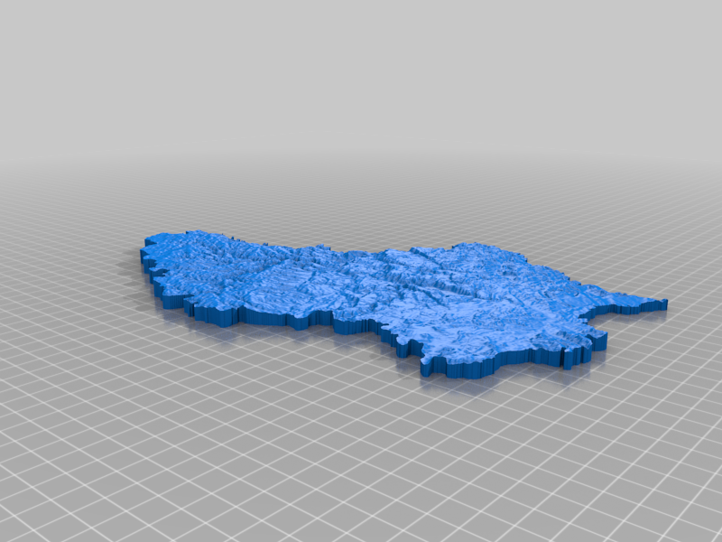
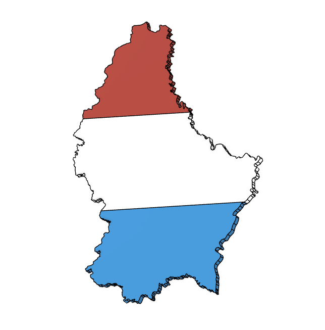
Luxembourg topographic map
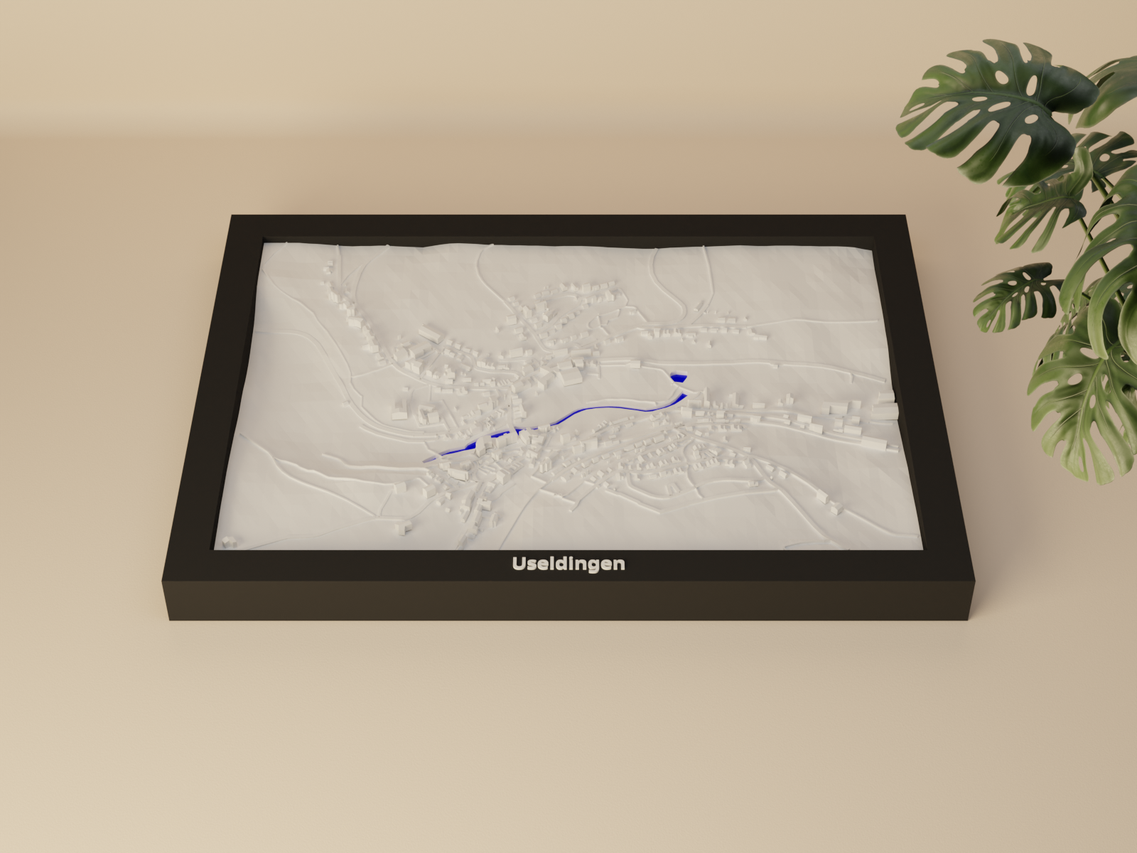
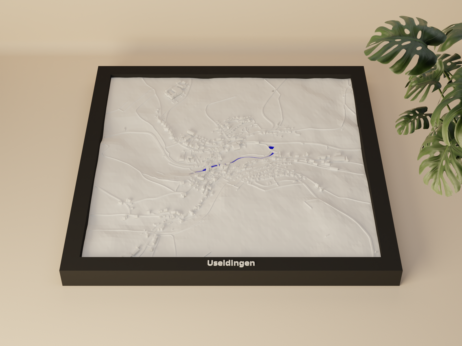
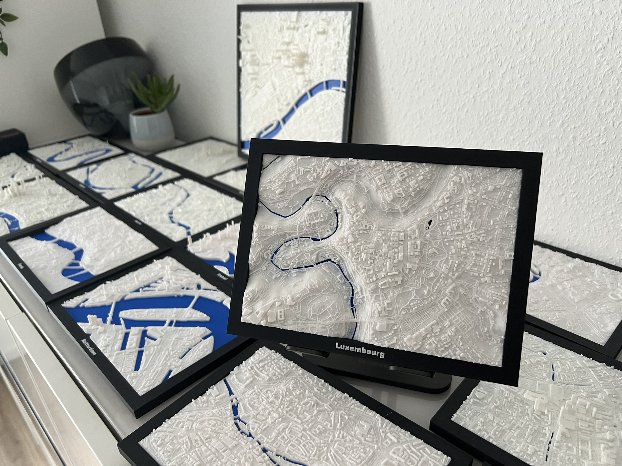
It's a topographic map created with Google Earth and Touchterrain. The heights are exaggerated to make them stand out more. You can print with 0.2mm layer lines without bottom layers to save on time. Print Settings Printer Brand: Anycubic…
- Downloads
- 141
- Likes
- 15
- Rating
- 5