Search results: openstreetmap

Sort order

Counting matching models…

P
PrintablesAndreas Kilthau

3D printing of maps by combining OpenStreetMap data and SRTM elevation data

The aim of the project is to develop an application for 3D printing of maps with freely selectable additional geodata such as roads, rivers or cities.

Downloads
5
Likes
13
Rating
0
P
Printablesgringer

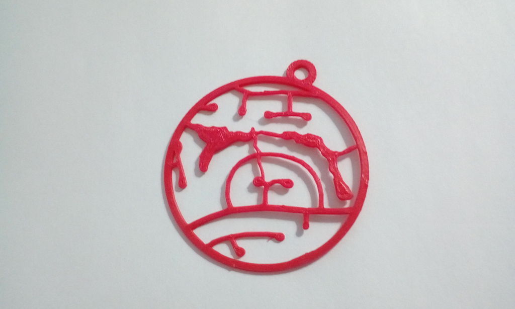
OpenStreetMap Road Map Ornament

Convert your favourite OpenStreetMap image into a hangable ornament. Manual conversion for now: Save OSM region as SVG Open in Inkscape and delete objects outside the region of interest Convert remaining strokes to paths Union everything…

Downloads
4
Likes
1
Rating
0