Search results: peninsula

Sort order

Counting matching models…

P
Printables

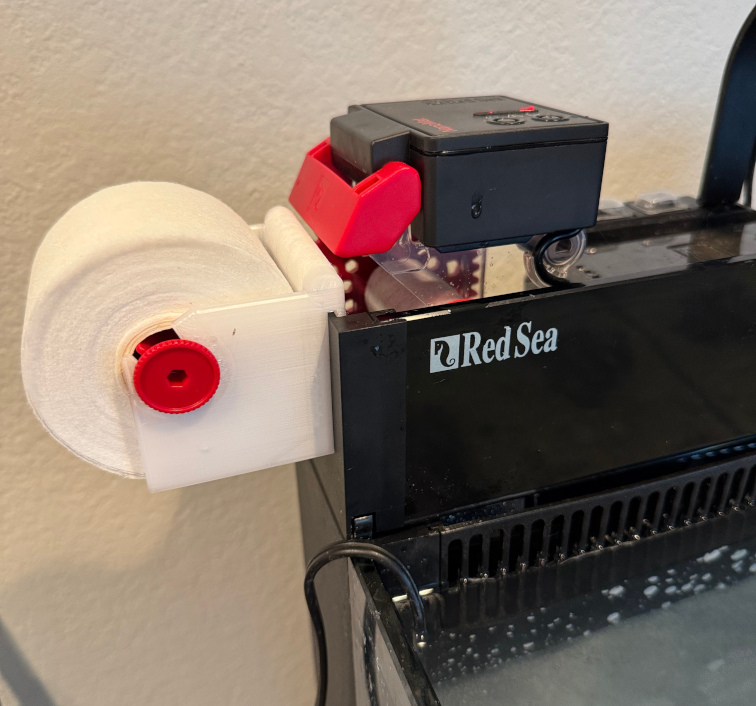
Red Sea Max Nano Peninsula G1 Nanomat Adapter

I bought a used Red Sea Max Nano Peninsula and was not sure whether I had a G1 or G2. When my Red Sea Nanomat arrived it quickly became clear that I have the G1 and was going to need to find a way to make it work 2025-08-21 update: added…

P
Printables

95th Rifles Shako Badge Army Sharpe Waterloo Peninsular

Easy to print with minimal supports required.

P
Printables

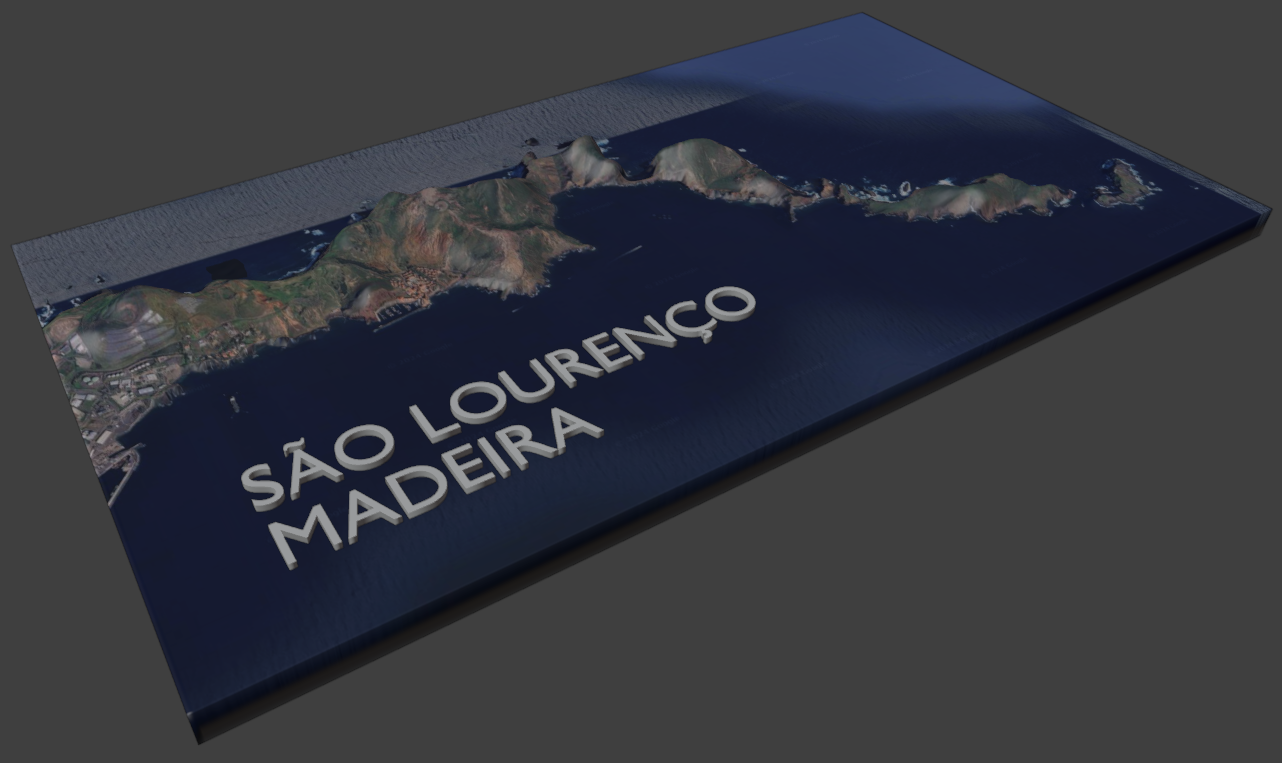
Sao Lourenco Peninsula, Madeira topographic model

You can either print it in one or multiple colors, it depends only on you :) I used 15% infill, but it's also up to you. It doesn't really matter.

P
Printables

Red Sea Max Nano Peninsula G1 Nanomat Adapter

I bought a used Red Sea Max Nano Peninsula and was not sure whether I had a G1 or G2. When my Red Sea Nanomat arrived it quickly became clear that I have the G1 and was going to need to find a way to make it work 2025-08-21 update: added…
P
Printables

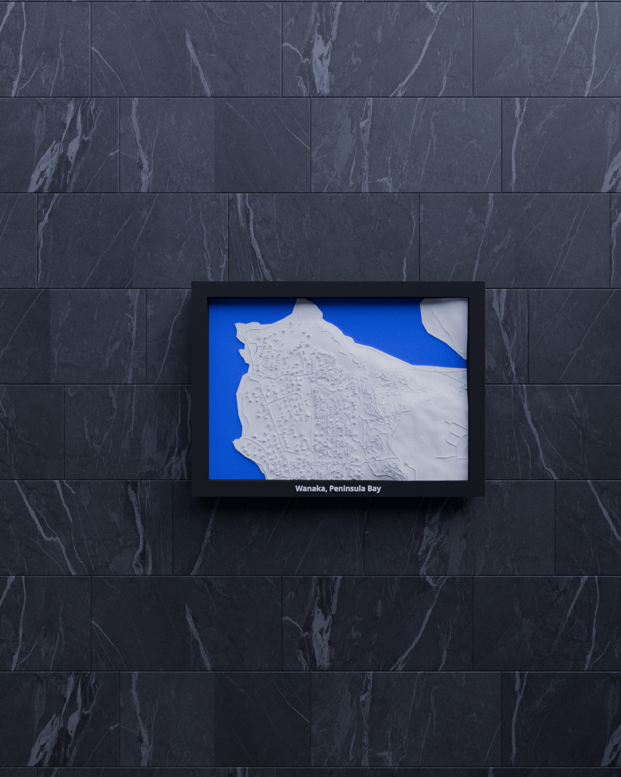
Wanaka, Peninsula Bay, New Zealand - 3D Miniature

3D printable topographic miniature of Wanaka, Peninsula Bay - 🇳🇿 New Zealand Capture the beauty of Wanaka, Peninsula Bay 's city landscape with this topographic miniature! This 3D model represents the geographic area around the geo…

P
Printables

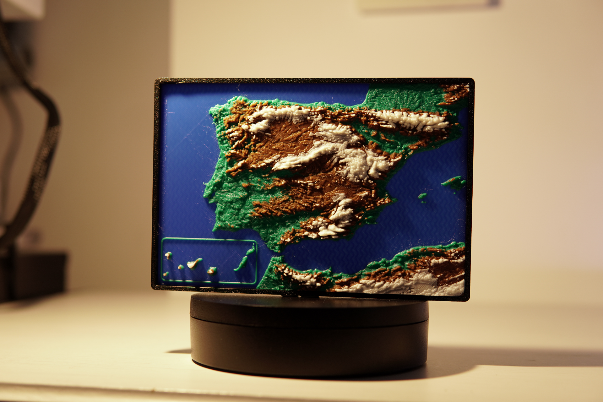
Topography Map of Spain - Iberian Peninsula

Map of Spain Modeled from satellite data, its a relatively accurate topography map of the Iberian peninsula. It takes about 3 hours to print, there are two versions: The Black-Grey-White and Multicolor version. You can make your own…

P
Printables

95th Rifles Shako Badge Army Sharpe Waterloo Peninsular

Easy to print with minimal supports required.

P
Printables

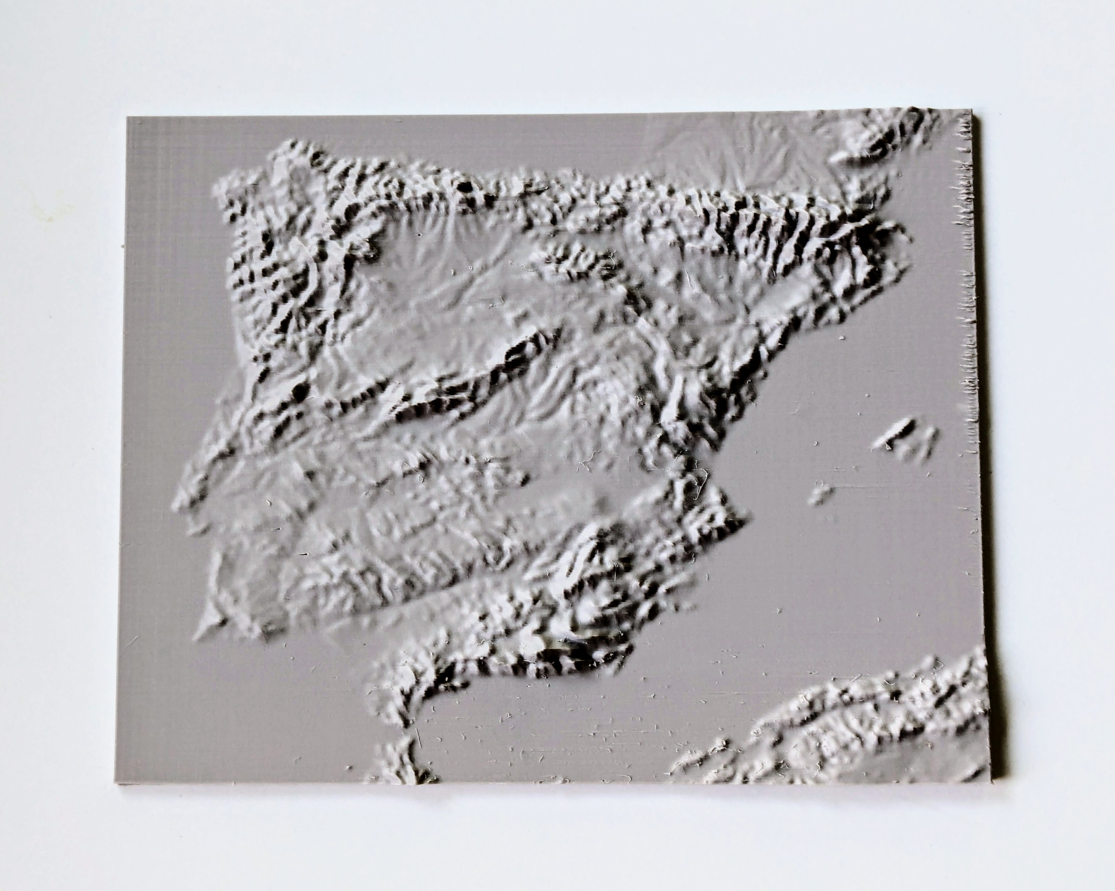
Iberian Peninsula elevation map

this is a model made using free, open-source software called TouchTerrain of the elevation of the Iberian peninsula (Spain, Portugal, Andorra, Gibraltar and some parts of France) hope you like it :) Also if you want to you can scale it…

P
Printables

Iberian Peninsula Terrain Map

created with TouchTerrain ; print on the given orientation, with some brim. My print is 0.15 mm layer height.

P
Printables

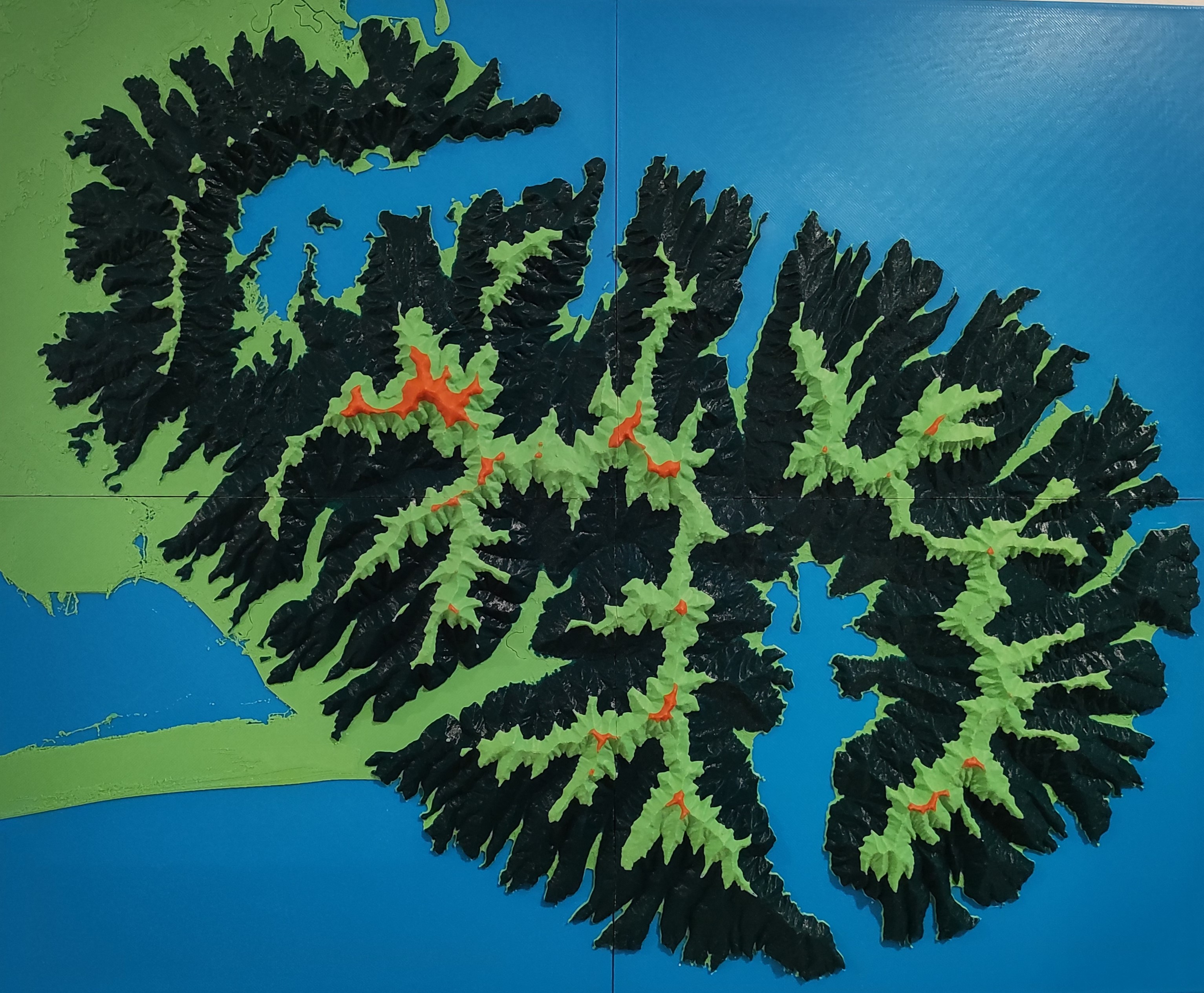
Banks Peninsula - New Zealand Topograhical Relief Map

Hi there. Here is my topographic map of the Banks peninsula on the coast of the South Island of NZ, near Christchurch City. Formed by two massive volcanic explosions and eroded over millions of years, the peninsula is one of the most…