
Low Poly USA Lower 48 States
Obliczymy ostateczną cenę na podstawie wybranego pliku. Sprawdzisz ją i zaakceptujesz przed płatnością.
Zapisane na tym urządzeniu.
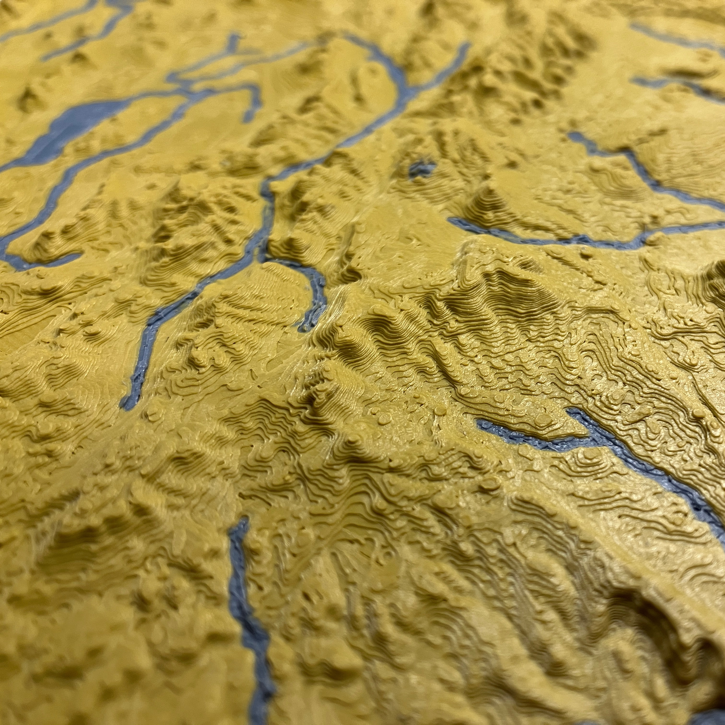
Print the United States of America in low fidelity — as if the world ran out of polygons.
- Ocena
- 5 / 5
- Polubienia
- 447
- Pobrania
- 914
- Wydruki
- 11
- Wyświetlenia
- 5294
- Oceny
- 10
Aktualizacja u źródła:
Informacje o modelu
- Źródło
- Printables
- Kategoria
- Sculptures
- Licencja
- Creative Commons — Attribution — Noncommercial
Low Poly edition of the USA Lower 48 States
In this model all elevations are square root scaled to reduce high elevation outliers and enhance low elevation detail. Find the full resolution USA lower 48 states combined here and print higher resolution individual state topo map models in USA of Plastic collection here.
| File | Description |
|---|---|
| usa-lower-48-low-poly-0-1.3mf ⭐ | Low Poly USA Lower 48 |
| usa-lower-48-low-poly-0-2.3mf.3mf | 2x more detail Low Poly USA Lower 48 |
You can scale the model up or down as needed to fit your printer size, the final map's scale will just be scaled accordingly. E.g. 200% scale on a previous scale of 0.4mm:1000m results in 0.4mm:500m
Pictured print was printed at 0.1mm layer height; model is detailed enough to be printed at higher or lower layer height depending on your preference.
Download the optimized Cura print settings profile for topo maps here.
| Cartographic Specification | Value | Notes |
|---|---|---|
| Projection | USA Contiguous Lambert Conformal Conic | |
| Horizonal Scale | 1:25000000 (0.4mm:10000m) | Effective resolution is 500km x 500km (0-2 file) or 1000km x 1000km (0-1 file). |
| Vertical Scale | No linear ratio due to square root scale | Vertical exaggeration is ~3500x. Elevations are scaled on a square root scale to eliminate outliers at high elevation and bring out more detail at low elevation. |
| Maritime Boundary | N/A |
Data: NASA, USGS, USCB