Wyniki wyszukiwania: topo

Sortowanie

674 modeli

P
PrintablesTom

Topology optimized shelf bracket - holds over 80kg each

Strong shelf brackets designed to hold a 300mm deep shelf board! These were made with Fusion 360's topology optimization feature for the unique look, but they're definitely not too shabby in the strength department, either. Each one holds…

Pobrania
16 460
Polubienia
4040
Ocena
4,93
P
PrintablesNaoki Hayashi

Desk clamp with hook | Topology optimized

More durable than it looks. No support required.

Pobrania
10 161
Polubienia
2428
Ocena
4,9
P
PrintablesMikolas Zuza

Smoothed topology optimized shelf bracket - Flat & thicker back, smoothed body

I love the look of these shelves, check how Tom created them: However, I wasn't a fan of the uneven and paper-thin back (even though I believe mechanically it doesn't matter). So I've made it completely flat and a bit thicker. I also went…

Pobrania
5172
Polubienia
1347
Ocena
4,94
P
PrintablesChrashice

Topographic World Map

Explore the world in 3D with this topographic world map puzzle! This unique design includes all elevations, allowing you to feel the contours of each continent. By printing it with 100 % the world map has a size of 1800 x 750 mm. The…

Pobrania
4494
Polubienia
1833
Ocena
4,8

Ultra-high resolution Earth topography

This extremely high resolution topographic globe of the earth prints in two halves, using around 350g PLA filament. It was created using blender, and adds small step at the coastline to aid with recognition of coastlines. The complete…

Pobrania
2560
Polubienia
347
Ocena
5
P
Printableszayzayzito

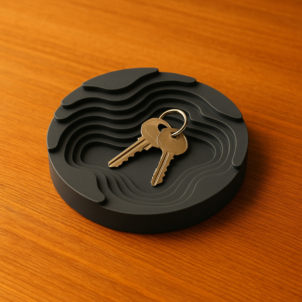
Topographic Catch All Tray

A Topographic style tray to hold your keys, wallet, or whatever little things you've got lying around, there's no rules!! :) I made this inspired by the style of topography and thought that a tray of that manner would be pretty neat!

Pobrania
2481
Polubienia
913
Ocena
4,93
P
PrintablesGenghis

Topology Optimized Magsafe Stand

a stand designed for iPhone magsafe system. This is an application of topology optimization printed in nylon without sup

Pobrania
2093
Polubienia
353
Ocena
4,75
P
PrintablesWindchill

Topographic Continents

I started out with the world map from toddsplod67 and ripped out just the continents. https://www.thingiverse.com/thing:116228 My son then printed them for his grade geography project. No guarantees on actual geographic content. Island…

Pobrania
1994
Polubienia
404
Ocena
5
P
Printablestato_713

Earth with exaggerated topography scaled one in sixty million

Originally published here: Earth with exaggerated topography scaled one in sixty million by tato_713 - Thingiverse These models were made using MATLAB R2016a with a topographical map of the Earth, including the seafloor. Like other models…

Pobrania
1559
Polubienia
130
Ocena
4,71
P
PrintablesOak

5-Color Topographic Earth Globe

This is a 5-color globe in high definition, with topographic and bathymetric exaggerated relief. It defaults to 32cm diameter, but can also look good in smaller sizes - cover picture is a 20cm diameter version. It's provided in two…

Pobrania
1523
Polubienia
190
Ocena
5
P
PrintablesLV3D

Shelf Bracket Topology Optimized

Shelf Bracket Topology Optimized This is a lightweight, topology-optimized shelf bracket designed for strength and minimal material usage. Its organic structure ensures high load capacity while maintaining an elegant appearance.…

Pobrania
1478
Polubienia
596
Ocena
4,88
P
Printablesmalenma3

Europe 3D terrain (topography) model

This project contains terrain maps of almost all European countries. Countries not included are either too small or not fully in Europe. Those are: Greenland, Malta, Andorra, Liechtenstein, Monaco, San Marino, Vatican, Russia and some…

Pobrania
1122
Polubienia
201
Ocena
5
P
PrintablesAnson Liu

Texas, USA (TX) Topographic Map with Rivers

Texas, USA (TX) Topographic Relief Map with Rivers and Coastal Waters Texas, USA mountains, coastlines, streams, and lakes in a dual or single color topographic and hydrographic map! All topographic states in the USA of Plastic collection…

Pobrania
1092
Polubienia
123
Ocena
5
P
PrintablesDragon

All Topographic States & Outlined United States

I wanted to create a model of each US state so that I could use them in future projects when needed. Additionally, I created an outline of the United States while working on this task. Here's a video I made about this mini project…

Pobrania
1037
Polubienia
114
Ocena
5
P
PrintablesMatthias L

3D Relief Europe Topology Map

This 3D printable relief map of Europe is a detailed model that depicts the physical features of the continent, including its mountains, valleys, and plains. The map is based on topographical data, providing an representation of the…

Pobrania
1015
Polubienia
223
Ocena
5
P
PrintablesAnson Liu

Contiguous USA (Lower 48) Topographic Map with Hydrographic Features + Cura Print Settings Profile

Contiguous United States (Lower 48) Topographic Map with Hydrographic Features For those times when you just want to print everything at once – this is the lower 48 states in the USA of Plastic project combined into a single model. Lower…

Pobrania
914
Polubienia
103
Ocena
5
P
PrintablesSaphira

Legend of Zelda Breath of the Wild Topographic Map

Inspired by topographic models of mountains I decided to create a topographic model of the Breath of The Wild map for my brother. I made this model in blender using a height map projected onto a plane before splitting it into six pieces…

Pobrania
814
Polubienia
233
Ocena
5
P
PrintablesAnson Liu

Washington, USA (WA) Topographic Map with Hydrographic Features

Washington, USA (WA) Topographic Relief Map with Rivers and Coastal Waters Washington, USA mountains, coastlines, streams, and lakes in a dual or single color topographic and hydrographic map! All topographic states in the USA of Plastic…

Pobrania
775
Polubienia
138
Ocena
5
P
PrintablesAnson Liu

Utah, USA (UT) Topographic Map with Rivers

Utah, USA (UT) Topographic Relief Map with Rivers and Coastal Waters Utah, USA mountains, coastlines, streams, and lakes in a dual or single color topographic and hydrographic map! All topographic states in the USA of Plastic collection…

Pobrania
744
Polubienia
77
Ocena
5
P
Printablesskoro

Mount Fuji Topography Model

The 3D model of the highest mountain in Japan - Mount Fuji . With a summit elevation of 3,776 m (12,388 ft) is the second-highest volcano located on an island in Asia. The model was precisely modeled from digital elevation data. The…

Pobrania
716
Polubienia
27
Ocena
5
P
PrintablesAnson Liu

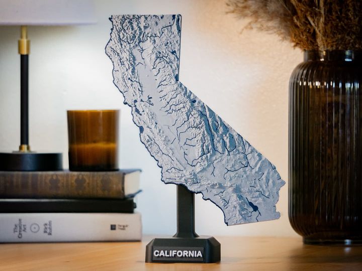
California, USA (CA) Topographic Map with Hydrographic Features

California, USA (CA) Topographic Relief Map with Rivers and Coastal Waters California, USA mountains, coastlines, streams, and lakes in a dual or single color topographic and hydrographic map! All topographic states in the USA of Plastic…

Pobrania
702
Polubienia
121
Ocena
5
P
PrintablesAnson Liu

Idaho, USA (ID) Topographic Map with Hydrographic Features

Idaho, USA (ID) Topographic Relief Map with Rivers and Coastal Waters Idaho, USA mountains, coastlines, streams, and lakes in a dual or single color topographic and hydrographic map! All topographic states in the USA of Plastic collection…

Pobrania
695
Polubienia
54
Ocena
5
P
PrintablesJosé Pedro

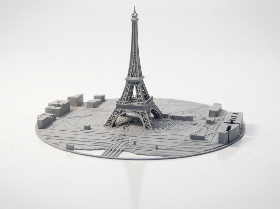
Eiffel Tower & Paris City Circular Topographic Map

Celebrate the heart of Paris with this circular topographic map featuring the Eiffel Tower and surrounding cityscape . The model captures terrain, park areas, and urban layout in a detailed relief format, perfect for collectors,…

Pobrania
690
Polubienia
144
Ocena
5
P
Printablesnebkor

Topographic California

20% infill was more than enough; 10% is probably enough. I made the model to be carved with a CNC mill out of wood, and printed it out as a prototype.

Pobrania
668
Polubienia
53
Ocena
5
P
PrintablesAnson Liu

North Carolina, USA (NC) Topographic Map with Rivers

North Carolina, USA (NC) Topographic Relief Map with Rivers and Coastal Waters North Carolina, USA mountains, coastlines, streams, and lakes in a dual or single color topographic and hydrographic map! All topographic states in the USA of…

Pobrania
636
Polubienia
70
Ocena
5
P
PrintablesAnson Liu

Colorado, USA (CO) Topographic Map with Hydrographic Features

Colorado, USA (CO) Topographic Relief Map with Rivers and Coastal Waters Colorado, USA mountains, coastlines, streams, and lakes in a dual or single color topographic and hydrographic map! All topographic states in the USA of Plastic…

Pobrania
634
Polubienia
74
Ocena
5
P
PrintablesSchweizermaker

Continental Europe Topographic Relief Puzzle

Update 2022-04-09: Additional countries now available as an add-on: https://www.thingiverse.com/thing:5341945 This is a topographic puzzle of continental Europe. Scale is 1:5'000'000 and vertical exaggeration is 10x. Small states…

Pobrania
626
Polubienia
164
Ocena
5
P
PrintablesJosé Pedro

New York City Skyline – Circular Topographic Map STL

Celebrate the energy and architecture of New York City with this circular topographic map featuring its iconic skyline, waterfront, and street layout . This model captures Manhattan’s distinctive shape, major skyscrapers, and surrounding…

Pobrania
624
Polubienia
74
Ocena
0
P
PrintablesLogScript

Brasil Topographic Map

Single stl of Brazil, derived from AW3D30 data and vertical exaggeration set at 100x. Used https://touchterrain.geol.iastate.edu/ to generate the model.

Pobrania
615
Polubienia
56
Ocena
5
P
Printablestato_713

Mars with exaggerated topography scaled one in sixty million

Originally published here: Mars with exaggerated topography scaled one in sixty million by tato_713 - Thingiverse This model was made using the latest MOLA data processed with MATLAB R2020a. Like most of my topographical models its relief…

Pobrania
611
Polubienia
63
Ocena
5
P
PrintablesAnson Liu

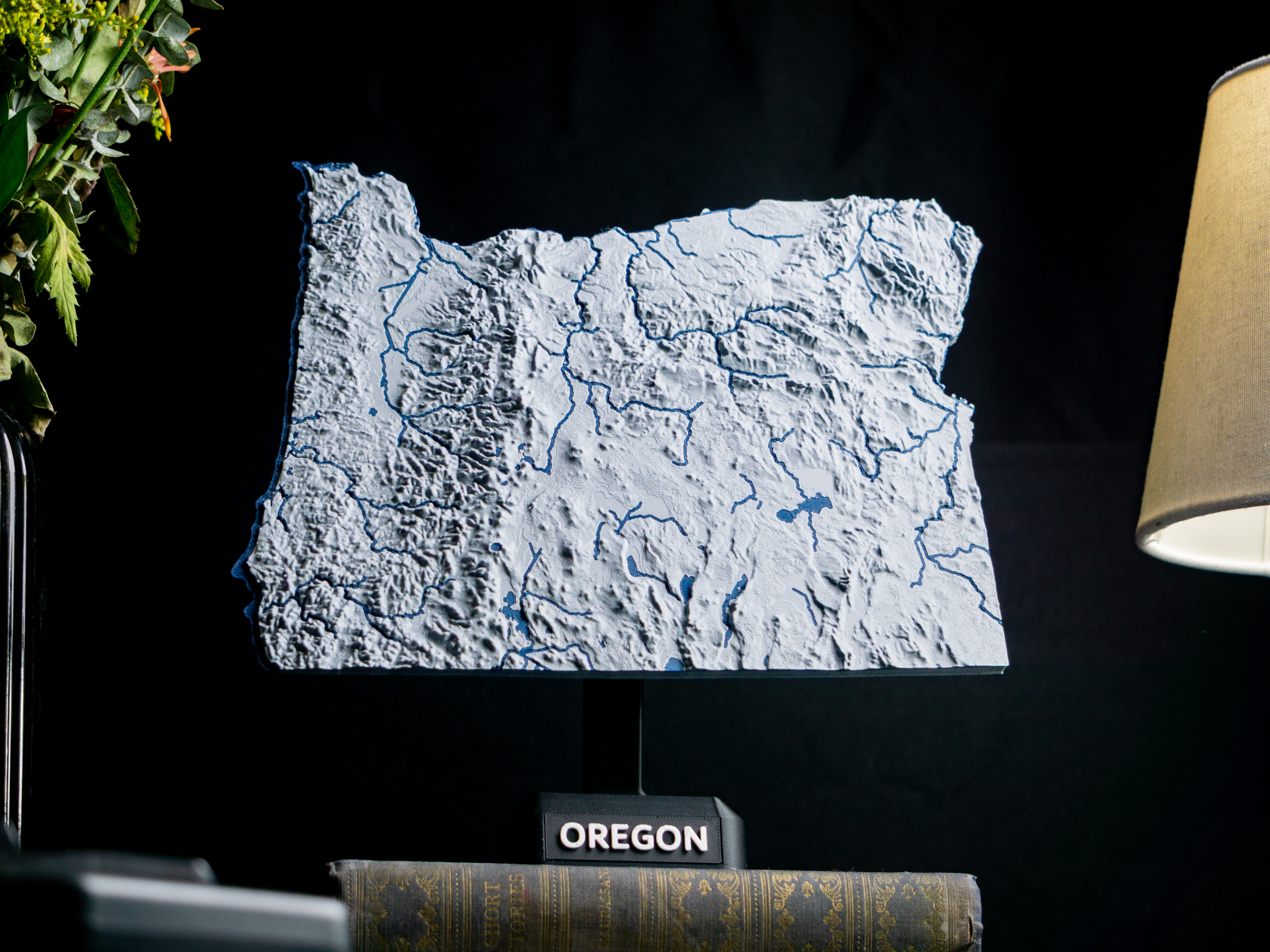
Oregon, USA (OR) Topographic Map Dual Color with Hydrographic Features

Oregon, USA (OR) Topographic Relief Map with Rivers and Coastal Waters Oregon, USA mountains, coastlines, streams, and lakes in a dual or single color topographic and hydrographic map! All topographic states in the USA of Plastic project…

Pobrania
600
Polubienia
72
Ocena
5
P
Printablestato_713

Mercury with exaggerated topography scaled one in sixty million

Originally published here: Mercury with exaggerated topography scaled one in sixty million by tato_713 - Thingiverse This model was made using MATLAB R2016a with the data from the MESSENGER mission available in the USGS site. The relief…

Pobrania
597
Polubienia
44
Ocena
5
P
PrintablesPlaground3d

Downtown Manhattan Topo Map

Behold, the magnificent 3D topographical map of downtown Manhattan! You know, the place where people walk so fast, they might as well be driving. The map shows off the geography of this bustling city district.

Pobrania
586
Polubienia
63
Ocena
5
P
PrintablesAnson Liu

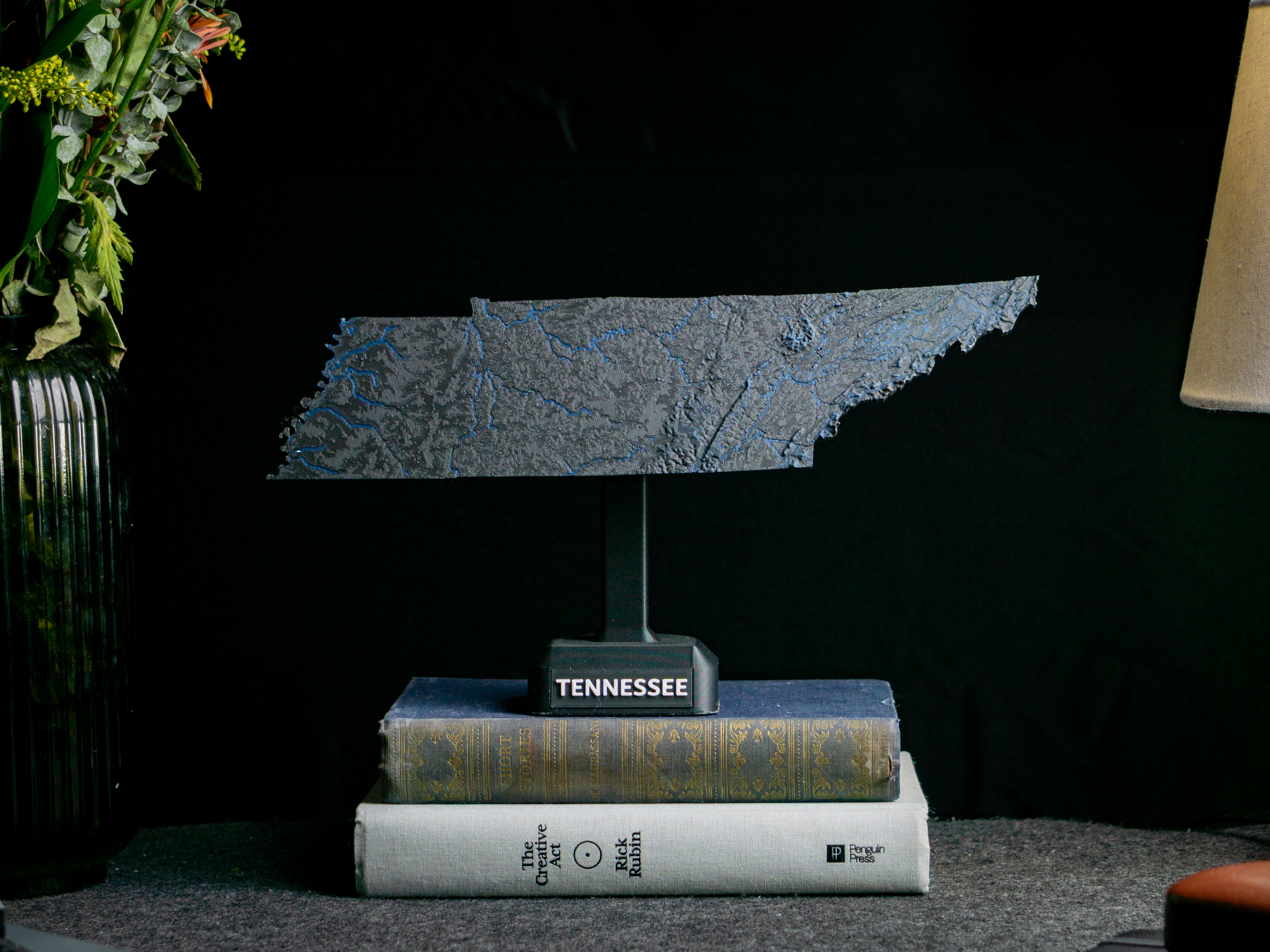
Tennessee, USA (TN) Topographic Map with Rivers

Tennessee, USA (TN) Topographic Relief Map with Rivers and Coastal Waters Tennessee, USA mountains, coastlines, streams, and lakes in a dual or single color topographic and hydrographic map! All topographic states in the USA of Plastic…

Pobrania
558
Polubienia
52
Ocena
5
P
Printablestato_713

Luna with exaggerated topography scaled one in twenty million

Originally published here: Luna with exaggerated topography scaled one in twenty million by tato_713 - Thingiverse This model is made using the most up to date topographic map from the NASA site, from the latest MOLA data. The topography…

Pobrania
558
Polubienia
48
Ocena
4,67
P
PrintablesPavol Ziacek

Slovakia topographic 3D map

3d model of Slovakia generated by Touch terrain page: https://touchterrain.geol.iastate.edu/main Kml geographic data were generated manually in Google Earth. See attached files if you want to use them on your own. The attached stl files…

Pobrania
554
Polubienia
51
Ocena
5
P
Printablestato_713

Venus with known topography scaled one in sixty million

Originally published here: Venus with known topography scaled one in sixty million by tato_713 - Thingiverse This model was made using MATLAB R2016a with the data from the Magellan mission available in the USGS site. The original map has…

Pobrania
552
Polubienia
56
Ocena
5
P
PrintablesAnson Liu

Florida, USA (FL) Topographic Map with Hydrographic Features

Florida, USA (FL) Topographic Relief Map with Rivers and Coastal Waters Florida, USA mountains, coastlines, streams, and lakes in a dual or single color topographic and hydrographic map! All topographic states in the USA of Plastic…

Pobrania
551
Polubienia
59
Ocena
5
P
PrintablesJH3D

AutoPot LST clip

Simple clip for lst for AutoPot. I modified the clip from the AutoPot sign holder.

Pobrania
540
Polubienia
48
Ocena
0
P
PrintablesSchweizermaker

USA (lower 48) topographic relief puzzle

Update 2022-04-13: Alaska is now also available here: https://www.thingiverse.com/thing:5346700 Update 2022-03-14: Hawaii is now also available here: https://www.thingiverse.com/thing:5317621 This is a 47 tile topographic puzzle of the…

Pobrania
534
Polubienia
121
Ocena
5
P
PrintablesAnson Liu

Alaska, USA (AK) Topographic Relief Map with Rivers and Coasts

Alaska, USA (AK) Topographic Relief Map with Rivers and Coastal Waters Alaska, USA mountains, coastlines, streams, and lakes in a dual or single color topographic and hydrographic map! All topographic states in the USA of Plastic…

Pobrania
532
Polubienia
53
Ocena
4
P
PrintablesAnson Liu

West Virginia, USA (WV) Topographic Map with Rivers

West Virginia, USA (WV) Topographic Relief Map with Rivers and Coastal Waters West Virginia, USA mountains, coastlines, streams, and lakes in a dual or single color topographic and hydrographic map! All topographic states in the USA of…

Pobrania
524
Polubienia
47
Ocena
5
P
PrintablesAnson Liu

Montana, USA (MT) Topographic Map with Rivers

Montana, USA (MT) Topographic Relief Map with Rivers and Coastal Waters Montana, USA mountains, coastlines, streams, and lakes in a dual or single color topographic and hydrographic map! All topographic states in the USA of Plastic…

Pobrania
505
Polubienia
40
Ocena
5

Moon topography

This is my variant of a high resolution moon topography globe which has an "aesthetically pleasing" vertical exaggeration. Most of the other models available were intended as or are derived from lithophanes - thus they actually have a…

Pobrania
503
Polubienia
133
Ocena
0
P
PrintablesMSB

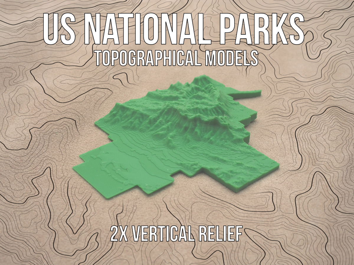
US National Parks Topographical Models - 2x Vertical Relief

Each of the models of the parks are scaled to the large dimension being around 200mm in order to fit on the printer bed. Due to the large size variation among the National Parks, the models are not scaled to each other. All of these…

Pobrania
502
Polubienia
76
Ocena
0
P
PrintablesAnson Liu

Arizona, USA (AZ) Topographic Map with Rivers

Arizona, USA (AZ) Topographic Relief Map with Rivers and Coastal Waters Arizona, USA mountains, coastlines, streams, and lakes in a dual or single color topographic and hydrographic map! All topographic states in the USA of Plastic…

Pobrania
502
Polubienia
56
Ocena
5
P
PrintablesAnson Liu

Georgia, USA (GA) Topographic Map with Rivers

Georgia, USA (GA) Topographic Relief Map with Rivers and Coastal Waters Georgia, USA mountains, coastlines, streams, and lakes in a dual or single color topographic and hydrographic map! All topographic states in the USA of Plastic…

Pobrania
451
Polubienia
40
Ocena
0
P
PrintablesDiabeto

Drainage insert for Autopot (Airbase)

Drainage insert for square-shaped Autopots 8L and 15L ("Airbase") Created this because the original parts are currently often sold out. Includes removable cover to add an Airdome. Prints without supports.

Pobrania
446
Polubienia
30
Ocena
5
P
PrintablesAnson Liu

Maryland, USA (MD) Topographic Map with Rivers

Maryland, USA (MD) Topographic Relief Map with Rivers and Coastal Waters Maryland, USA mountains, coastlines, streams, and lakes in a dual or single color topographic and hydrographic map! All topographic states in the USA of Plastic…

Pobrania
415
Polubienia
40
Ocena
0
P
PrintablesAnson Liu

Maine, USA (ME) Topographic Map with Rivers

Maine, USA (ME) Topographic Relief Map with Rivers and Coastal Waters Maine, USA mountains, coastlines, streams, and lakes in a dual or single color topographic and hydrographic map! All topographic states in the USA of Plastic collection…

Pobrania
414
Polubienia
35
Ocena
5
P
PrintablesAnson Liu

Pennsylvania, USA (PA) Topographic Map with Rivers

Pennsylvania, USA (PA) Topographic Relief Map with Rivers and Coastal Waters Pennsylvania, USA mountains, coastlines, streams, and lakes in a dual or single color topographic and hydrographic map! All topographic states in the USA of…

Pobrania
414
Polubienia
41
Ocena
5
P
PrintablesAnson Liu

Minnesota, USA (MN) Topographic Map with Rivers

Minnesota, USA (MN) Topographic Relief Map with Rivers and Coastal Waters Minnesota, USA mountains, coastlines, streams, and lakes in a dual or single color topographic and hydrographic map! All topographic states in the USA of Plastic…

Pobrania
414
Polubienia
46
Ocena
0
P
PrintablesAnson Liu

New Hampshire, USA (NH) Topographic Map with Rivers

New Hampshire, USA (NH) Topographic Relief Map with Rivers and Coastal Waters New Hampshire, USA mountains, coastlines, streams, and lakes in a dual or single color topographic and hydrographic map! All topographic states in the USA of…

Pobrania
412
Polubienia
35
Ocena
5
P
Printablesdustylavender

Topographic Skull

Wanted to play around with some spooky 3D printing using a new technique I discovered recently. This model was created from a highly detailed skull using the CAM environment in Fusion 360. By simulating a CNC operation with a large step…

Pobrania
411
Polubienia
101
Ocena
5
P
PrintablesAnson Liu

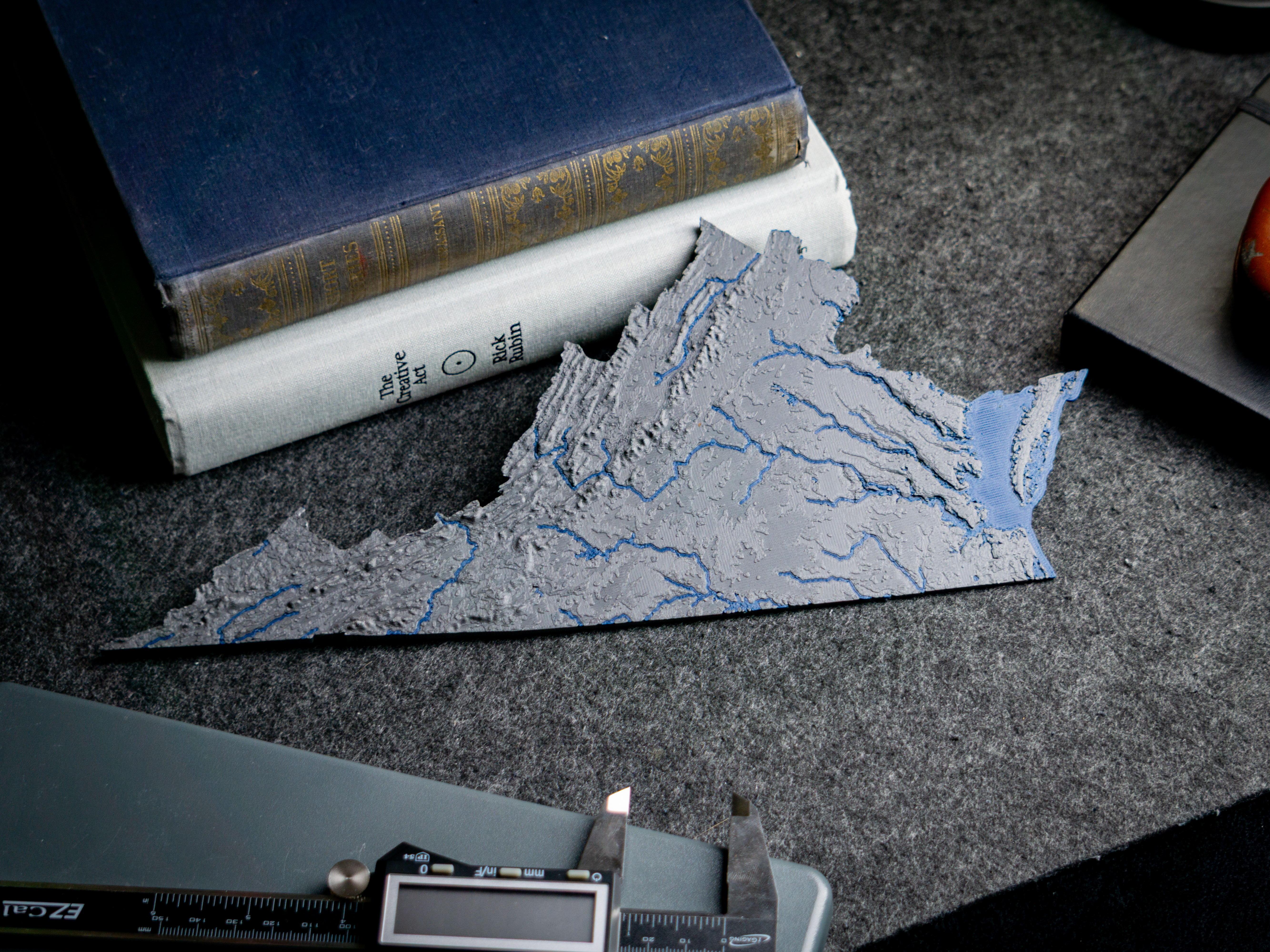
Virginia, USA (VA) Topographic Map with Rivers

Virginia, USA (VA) Topographic Relief Map with Rivers and Coastal Waters Virginia, USA mountains, coastlines, streams, and lakes in a dual or single color topographic and hydrographic map! All topographic states in the USA of Plastic…

Pobrania
407
Polubienia
38
Ocena
5
P
PrintablesTNT_Mister

Topology optimized shelf bracket

Topology optimized shelf bracket for a small shelf with a depht of 10 to 15 cm. You can mount it to the wall with 4-6mm screws and secure the board with a short screw through the top. The model can be printed perfectly without supports.

Pobrania
406
Polubienia
106
Ocena
5
P
PrintablesAnson Liu

Arkansas, USA (AR) Topographic Map with Rivers

Arkansas, USA (AR) Topographic Relief Map with Rivers and Coastal Waters Arkansas, USA mountains, coastlines, streams, and lakes in a dual or single color topographic and hydrographic map! All topographic states in the USA of Plastic…

Pobrania
404
Polubienia
33
Ocena
0
P
PrintablesAnson Liu

Oklahoma, USA (OK) Topographic Map with Rivers

Oklahoma, USA (OK) Topographic Relief Map with Rivers and Coastal Waters Oklahoma, USA mountains, coastlines, streams, and lakes in a dual or single color topographic and hydrographic map! All topographic states in the USA of Plastic…

Pobrania
404
Polubienia
42
Ocena
0
P
PrintablesWoodenDavid

Coastline and Topographic Lithophane Earth Globes

Printed for a festival on geographic graphics, I made two lithophane lithospheres: world globes that show their detail when you turn on the LED at their center. They sit on stands on lazy susans. Only the .3mf files are uploaded for some…

Pobrania
392
Polubienia
83
Ocena
0
P
PrintablesChris

High res dual color earth with sea-floor topography

Print and scale as you like. It is wise to add (mix in) a stand that covers some of the south pole to print without support. An 18cm radius print on ultimaker2 took 1.5 weeks (in 0.1mm) but looks spectacular.

Pobrania
388
Polubienia
58
Ocena
0
P
PrintablesAnson Liu

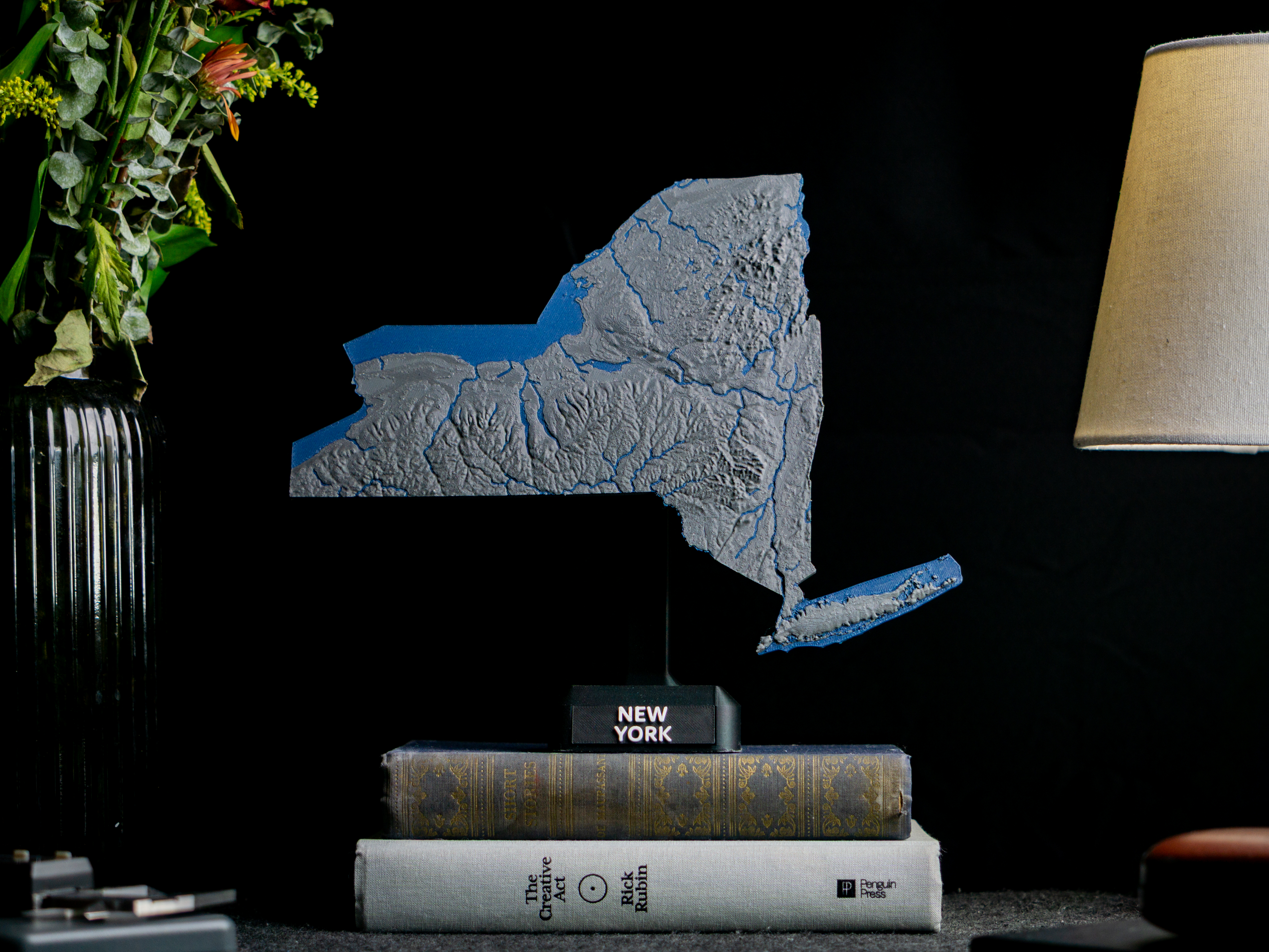
New York, USA (NY) Topographic Map with Rivers

New York, USA (NY) Topographic Relief Map with Rivers and Coastal Waters New York, USA mountains, coastlines, streams, and lakes in a dual or single color topographic and hydrographic map! All topographic states in the USA of Plastic…

Pobrania
384
Polubienia
35
Ocena
5
P
Printablesbatman

USA Topography Puzzle

This is a topographical map puzzle of the USA (minus Alaska and Hawaii). I thought it would be fun for school / educational use. The main model is from https://www.thingiverse.com/thing:634007 . I added a base-plate in SuperSlicer and…

Pobrania
381
Polubienia
65
Ocena
4,67
P
PrintablesSam

World Map w/ Exaggerated Topology

This map was made to cover a blemish in the wallpaper above my desk, and as such is only 17.5cm in width, however this can easily be scaled up in your slicer. The raw data used to make the map prints well, though it has been cleaned up,…

Pobrania
373
Polubienia
72
Ocena
5
P
Printablesvsky279

Czechia Topography 3d Map

Inspired by https://www.abclinuxu.cz/blog/jenda/2021/4/pouziti-topografickych SRTM data: https://step.esa.int/auxdata/dem/SRTMGL1/ Border path taken from: https://www.akzamberk.cz/clanek/datove-soubory-pro-xcsoar-mapa-cr Processed by…

Pobrania
365
Polubienia
22
Ocena
5

Earth topography with coastlines

This is a high detail globe of Earth's topography (highly exaggerated), designed as an educational tool. Several others existed on Thingiverse already - the difference of this one is that the outline of the continent has been raised…

Pobrania
365
Polubienia
105
Ocena
0
P
PrintablesAnson Liu

Michigan, USA (MI) Topographic Map with Great Lakes and Rivers

Michigan, USA (MI) Topographic Relief Map with Rivers and Coastal Waters Michigan, USA mountains, coastlines, streams, and lakes in a dual or single color topographic and hydrographic map! All topographic states in the USA of Plastic…

Pobrania
364
Polubienia
37
Ocena
0
P
PrintablesAnson Liu

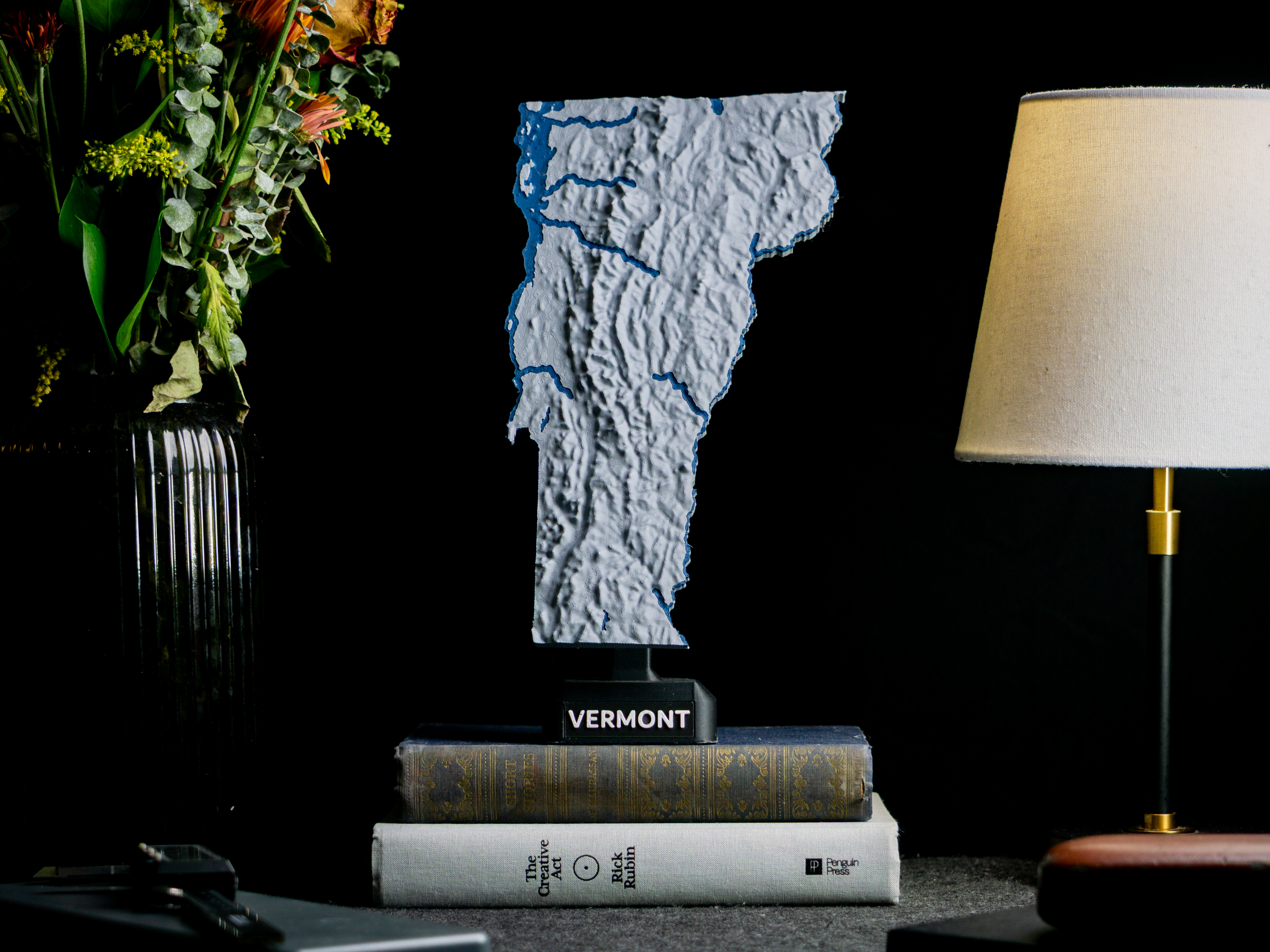
Vermont, USA (VT) Topographic Map with Rivers

Vermont, USA (VT) Topographic Relief Map with Rivers and Coastal Waters Vermont, USA mountains, coastlines, streams, and lakes in a dual or single color topographic and hydrographic map! All topographic states in the USA of Plastic…

Pobrania
362
Polubienia
31
Ocena
5
P
PrintablesJakeDK

USA Topology Map

Map of the US&A with elevations visualized. I think I found the original from an online Topology generator. I've cut this one into 4 chunks that can fit on the MK3's Bed and also thinned it so it can be a wall piece. Print instructions…

Pobrania
361
Polubienia
146
Ocena
5
P
PrintablesBasementLAB

Rack server rails - self-supporting - M6 / M4 Thread - Collection - Guide autoportanti per Rack server

Rack server rails - self-supporting - M6 / M4 Thread - Collection - Guide autoportanti per Rack server 1U 15.875x23x44.5mm 2U 15.875x23x89mm 3U 15.875x23x133.5mm 4U 15.875x23x178mm 5U 15.875x23x222.5mm Suitable for 10" or 19" Easy to…

Pobrania
360
Polubienia
60
Ocena
5
P
PrintablesAnson Liu

South Carolina, USA (SC) Topographic Map with Rivers

South Carolina, USA (SC) Topographic Relief Map with Rivers and Coastal Waters South Carolina, USA mountains, coastlines, streams, and lakes in a dual or single color topographic and hydrographic map! All topographic states in the USA of…

Pobrania
357
Polubienia
40
Ocena
0
P
PrintablesAnson Liu

Wisconsin, USA (WI) Topographic Map with Rivers

Wisconsin, USA (WI) Topographic Relief Map with Rivers and Coastal Waters Wisconsin, USA mountains, coastlines, streams, and lakes in a dual or single color topographic and hydrographic map! All topographic states in the USA of Plastic…

Pobrania
347
Polubienia
33
Ocena
0
P
PrintablesAnson Liu

New Jersey, USA (NJ) Topographic Map with Rivers

New Jersey, USA (NJ) Topographic Relief Map with Rivers and Coastal Waters New Jersey, USA mountains, coastlines, streams, and lakes in a dual or single color topographic and hydrographic map! All topographic states in the USA of Plastic…

Pobrania
345
Polubienia
25
Ocena
0
P
PrintablesAnson Liu

Alabama, USA (AL) Topographic Map with Rivers

Alabama, USA (AL) Topographic Relief Map with Rivers and Coastal Waters Alabama, USA mountains, coastlines, streams, and lakes in a dual or single color topographic and hydrographic map! All topographic states in the USA of Plastic…

Pobrania
339
Polubienia
42
Ocena
0
P
PrintablesSamuel Bauman

Topographic globe with stand

This is a decorative single color globe that features topographic detail. The globe is printed in two halves. I used a metallic silver PETG (ZYLtech's Uncle Jesse's Gun Metal Silver) for the globe as it's shiny look really pronounces the…

Pobrania
339
Polubienia
48
Ocena
5
P
PrintablesGrafit

Topology optimized Magsafe stand REMIX

Remix of a cool parametric magsafe stand by @genghis. I put a hole to the front post to get the cable through. USB C size connector goes through. Made the posts a bit thicker. And the most important, inserted 4 bumps into the ring to made…

Pobrania
338
Polubienia
70
Ocena
5
P
PrintablesKipiKipod

Hexagon topographic world map

Topographic world map from 9 hexagon parts. Printed at 0.12mm height, and switched color at 1.64mm. Each Hexagon is created from 6 'Frames' and 6 'Connectors' The outside strip for the LEDs is optional.

Pobrania
336
Polubienia
146
Ocena
5
P
PrintablesAnson Liu

Ohio, USA (OH) Topographic Map with Rivers and Lake Erie

Ohio, USA (OH) Topographic Relief Map with Rivers and Coastal Waters Ohio, USA mountains, coastlines, streams, and lakes in a dual or single color topographic and hydrographic map! All topographic states in the USA of Plastic collection…

Pobrania
332
Polubienia
35
Ocena
5
P
PrintablesAnson Liu

New Mexico, USA (NM) Topographic Map with Rivers

New Mexico, USA (NM) Topographic Relief Map with Rivers and Coastal Waters New Mexico, USA mountains, coastlines, streams, and lakes in a dual or single color topographic and hydrographic map! All topographic states in the USA of Plastic…

Pobrania
329
Polubienia
30
Ocena
5
P
PrintablesAnson Liu

Massachusetts, USA (MA) Topographic Map with Hydrographic Features

Massachusetts, USA (MA) Topographic Relief Map with Rivers and Coastal Waters Massachusetts, USA mountains, coastlines, streams, and lakes in a dual or single color topographic and hydrographic map! All topographic states in the USA of…

Pobrania
326
Polubienia
32
Ocena
5
P
PrintablesAnson Liu

Missouri, USA (MO) Topographic Map with Rivers

Missouri, USA (MO) Topographic Relief Map with Rivers and Coastal Waters Missouri, USA mountains, coastlines, streams, and lakes in a dual or single color topographic and hydrographic map! All topographic states in the USA of Plastic…

Pobrania
325
Polubienia
28
Ocena
0
P
PrintablesAnson Liu

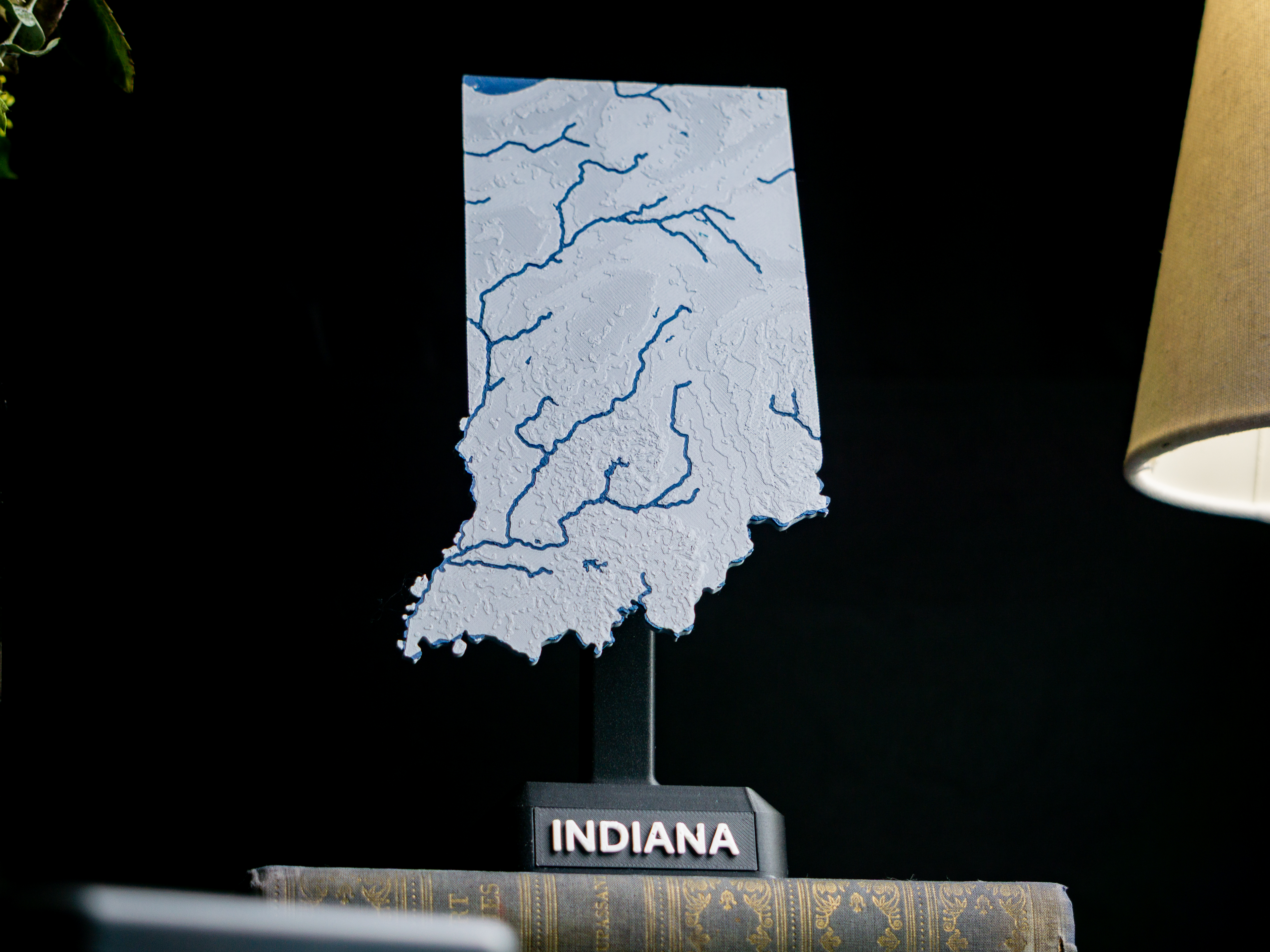
Indiana, USA (IN) Topographic Map with Rivers

Indiana, USA (IN) Topographic Relief Map with Rivers and Coastal Waters Indiana, USA mountains, coastlines, streams, and lakes in a dual or single color topographic and hydrographic map! All topographic states in the USA of Plastic…

Pobrania
322
Polubienia
39
Ocena
0
P
PrintablesJosé Pedro

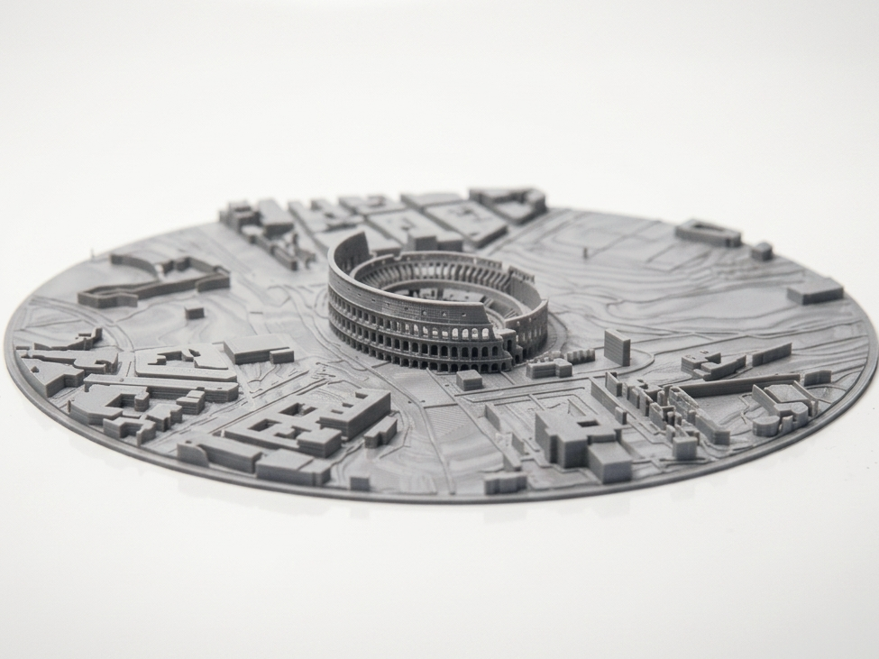
Colosseum – Circular Topographic Map

Bring ancient history to life with this circular topographic map of Rome featuring the Colosseum. The model showcases the world-famous amphitheater, nearby Roman Forum area, and detailed urban contours in artistic relief — ideal for…

Pobrania
319
Polubienia
50
Ocena
0
P
PrintablesAnson Liu

Kentucky, USA (KY) Topographic Map with Rivers

Kentucky, USA (KY) Topographic Relief Map with Rivers and Coastal Waters Kentucky, USA mountains, coastlines, streams, and lakes in a dual or single color topographic and hydrographic map! All topographic states in the USA of Plastic…

Pobrania
318
Polubienia
35
Ocena
0
P
PrintablesAnson Liu

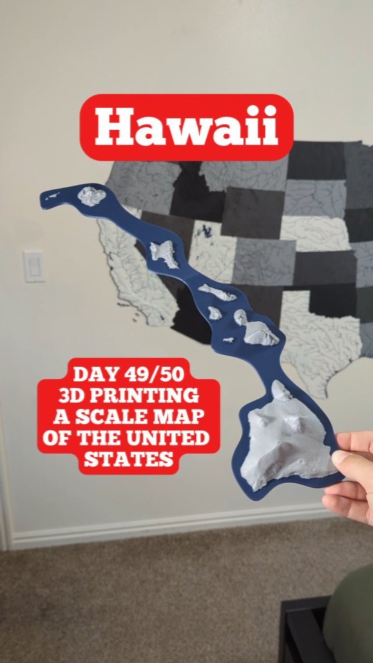
Hawaii, USA (HI) Southeastern Islands Topo Map with Highlighted Coastline

Hawaii, USA (HI) Southeastern Islands Coastline Topographic Map Hawaii, USA Southeastern Islands mountains and coastlines in a dual color topographic and hydrographic map! Part of the USA of Plastic topographic map collection. Unlike the…

Pobrania
312
Polubienia
21
Ocena
0
P
PrintablesAnson Liu

Oahu, HI Topographic Map with Coastal Outline for Glow in the Dark/Transparent Filament

Oahu, HI (Oahu) Topographic Map with Hydrographic Features Oahu, HI dual color topographic map with a separate outline made for glow filament! Part of USA of Plastic collection. Show off the outline of Oahu with glow in the dark filament…

Pobrania
312
Polubienia
25
Ocena
5
P
PrintablesPaolo

CENTOPORTE PASSENGER RAILWAY CARRIAGE

A model of the centoporte (literally translated "hundred doors") passenger carriage, in service from the 1920s to the 1980s on the Italian state railways. Very simple level of assembly given by the joints, detailed exteriors and interiors…

Pobrania
311
Polubienia
42
Ocena
5
P
PrintablesAnson Liu

Wyoming, USA (WY) Topographic Map with Rivers

Wyoming, USA (WY) Topographic Relief Map with Rivers and Coastal Waters Wyoming, USA mountains, coastlines, streams, and lakes in a dual or single color topographic and hydrographic map! All topographic states in the USA of Plastic…

Pobrania
307
Polubienia
26
Ocena
5
P
PrintablesAnson Liu

Nevada, USA (NV) Topographic Map with Rivers

Nevada, USA (NV) Topographic Relief Map with Rivers and Coastal Waters Nevada, USA mountains, coastlines, streams, and lakes in a dual or single color topographic and hydrographic map! All topographic states in the USA of Plastic project…

Pobrania
303
Polubienia
25
Ocena
5
P
PrintablesIbex

Voronoi shelf bracket (hidden mount) - topology optimized

Idea I used a topology otpimized shelf bracket and made a few changes so the screws are hidden and the shelf board can sit flush against the wall. I printed it in standard PLA, but stronger materials are recommended for heavy-duty use or…

Pobrania
298
Polubienia
146
Ocena
5
P
PrintablesFrederik

TopoTrail – Online Generator for 3D Trail Maps

Create 3D maps of your trails for free on TopoTrail.com by simply uploading one or more .gpx files. TopoTrail.com Features: 🌊 Automatic Coloring of Seas, Lakes, and Rivers 🏢 Includes buildings 🗂 Upload Multiple GPX Files on a Single Map 🟩…

Pobrania
297
Polubienia
1401
Ocena
5
P
PrintablesBrendonBuilds

Arachnobeest - Walking Octopod XRP Jansen Mechanism Robot

Arachnobeest A lightweight, easy-to-print walking octopod robot based on Jansen linkages. With just a handful of bolts the entire robot can be built and controlled with parts in the standard XRP robotics kit. Assembly In Progress Control…

Pobrania
292
Polubienia
72
Ocena
0
P
PrintablesAnson Liu

Louisiana, USA (LA) Topographic Map with Rivers

Louisiana, USA (LA) Topographic Relief Map with Rivers and Coastal Waters Louisiana, USA bays, coastlines, streams, and lakes in a dual or single color topographic and hydrographic map! All topographic states in the USA of Plastic…

Pobrania
292
Polubienia
34
Ocena
0
P
PrintablesManticorp

Mt Everest topographic map with surrounding himalayas landscape

3D model created from the following heightmap: https://manticorp.github.io/unrealheightmap/#latitude/27.984700118612693/longitude/86.923828125/zoom/10/outputzoom/15/width/16258/height/4033 Imported into blender and mapped to a divided…

Pobrania
284
Polubienia
30
Ocena
0
P
PrintablesDesignMakeTeach

Virginia Topographic Map

Topographic map of Virginia created with a fabulous tutorial by @anoved Creating height maps of large regions. http://anoved.net/2015/09/creating-heightmaps-of-large-regions/ Model was requested several years ago by an elementary teacher…

Pobrania
281
Polubienia
39
Ocena
5
P
Printablestato_713

Pluto and Charon with known topography scaled one in ten million

Originally published here: Pluto and Charon with known topography scaled one in ten million by tato_713 - Thingiverse This model is made using MATLAB R2016a on the topography map from the USGS Astrogeology Science Center site, from the…

Pobrania
275
Polubienia
24
Ocena
0
P
PrintablesJosé Pedro

Seattle Skyline & Space Needle – Circular Topographic Map STL

Capture the beauty of the Pacific Northwest with this circular topographic map of Seattle featuring the iconic Space Needle and city skyline . The model shows the urban layout, prominent buildings, and shoreline contours in detailed…

Pobrania
274
Polubienia
44
Ocena
0
P
Printablesdca_prints

Topographic map of Serbia

Topography map of Serbia Print instructions Some of the layer heights my slicer had some problems with the top of the mountains saying that it's a empty layer but it's not just change the height to a slightly different number.

Pobrania
272
Polubienia
28
Ocena
5
P
PrintablesAnson Liu

Puerto Rico, USA (PR) Topographic Map

See https://ansonliu.com/maps/ for map scale and specifications. All other USA state models are available for free on my website and Printables profile. This model was created at 1:2500000 scale with ~1km resolution.

Pobrania
269
Polubienia
31
Ocena
0
P
PrintablesJosé Pedro

Chicago Skyline – Circular Topographic Map STL

Capture the architectural beauty of the City of Chicago with this circular topographic map featuring its skyline, lakefront, and urban layout . This model showcases the city’s high-rises, shoreline along Lake Michigan, and street grid in…

Pobrania
267
Polubienia
38
Ocena
1
P
PrintablesAnson Liu

Illinois, USA (IL) Topographic Map with Rivers

Illinois, USA (IL) Topographic Relief Map with Rivers and Coastal Waters Illinois, USA mountains, coastlines, streams, and lakes in a dual or single color topographic and hydrographic map! All topographic states in the USA of Plastic…

Pobrania
263
Polubienia
24
Ocena
5