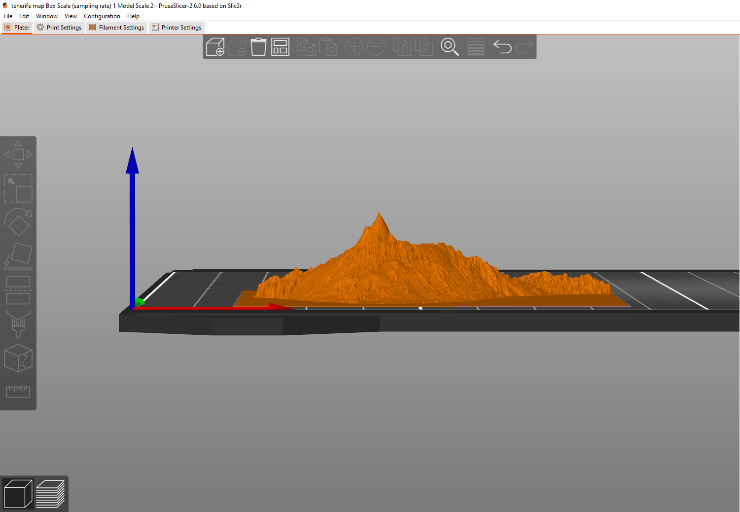
Onkarkitekt Tenerife Mount Teide Canary Islands Geographical Scale Model
Created from a GIS downloaded model and scaled down for 3D print
Wydruk około 0,40 €–0,49 € nettoWstępna wycena jednego wariantu
- Pobrania
- 157
- Polubienia
- 9
- Ocena
- 0
58 modeli
Created from a GIS downloaded model and scaled down for 3D print
Wydruk około 0,40 €–0,49 € nettoWstępna wycena jednego wariantu
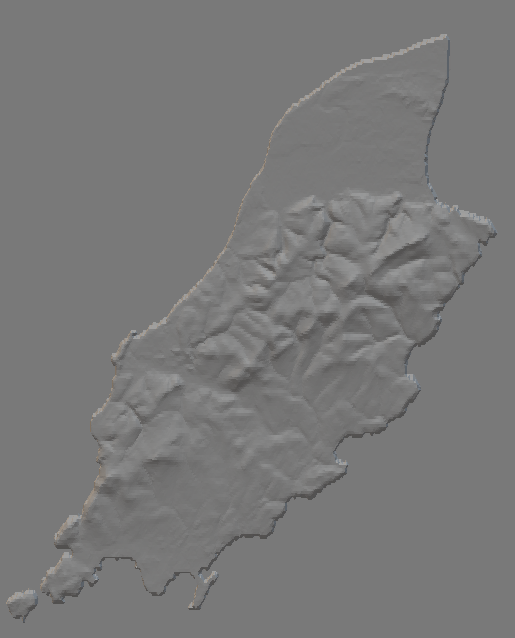
Removed the rest of continental Europe and left the Island of Ireland on its own. Added multiple colour changes to make the model pop.
Wydruk około 4,28 €–5,23 € nettoWstępna wycena jednego wariantu
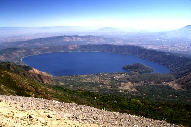
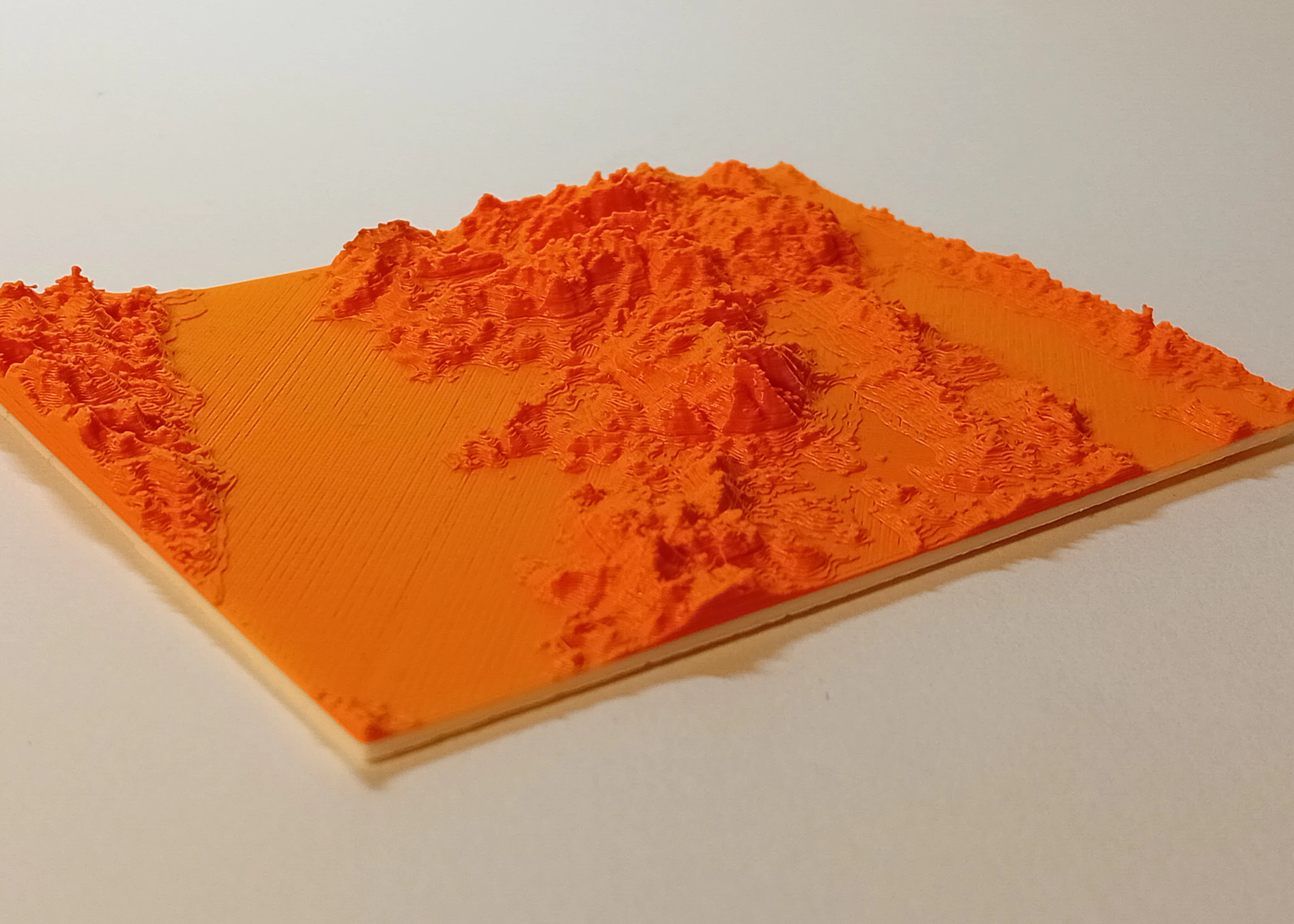
A geographically accurate school model of a caldera for teaching the Earth's lithosphere.
Wydruk około 13,67 €–16,71 € nettoWstępna wycena jednego wariantu
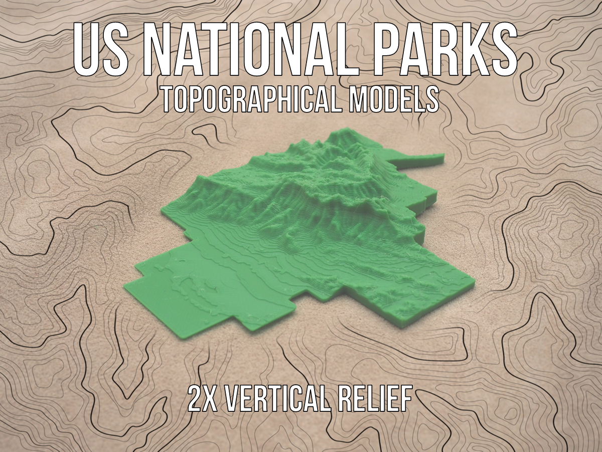
Each of the models of the parks are scaled to the large dimension being around 200mm in order to fit on the printer bed. Due to the large size variation among the National Parks, the models are not scaled to each other. All of these…
Topographical model of Taiwan, not to be confused with China. Print Settings Printer Brand: Prusa Printer: I3 MK3S Supports: No Resolution: 0.2 Filament: Prusa PLA If you'd like you can buy me a coffee here:…
Each of the models of the parks are scaled to the large dimension being around 200mm in order to fit on the printer bed. Due to the large size variation among the National Parks, the models are not scaled to each other. All of these…
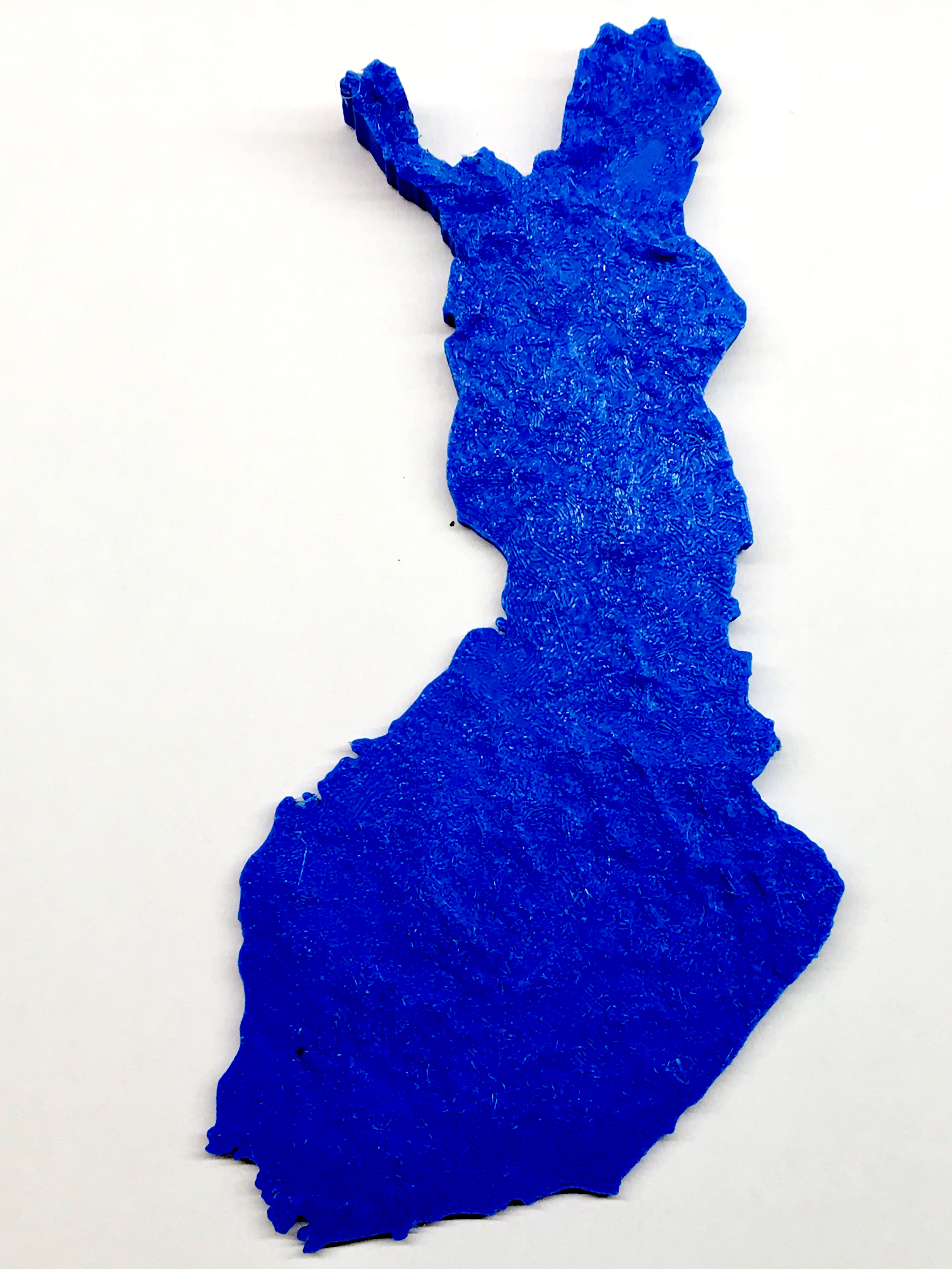
Map of continental Finland with topographical information. Elevation data was magnified quite a lot to make the differences more visible. Print instructions Instructions to make the model:…
The title says it all, a topographical model of the island of Maui! I created this for an art project for a friend, and thought others might want to have it as well. This project started as a topographical mesh from Terrain2STL , which is…
This is a 3D scan of Mt. Hood, Oregon optimized for a 3D printer. Print Settings Printer Brand: Prusa Printer: i3 MK2S Rafts: No Supports: No Resolution: .05mm Infill: 5% Filament: Prusament PLA Galaxy Black Category: Scans & Replicas
Discover the beauty of Switzerland with my detailed 3D relief map! This topographical 3D map captures the elevation of Switzerland, providing a stunning and accurate representation of the country's landscape. For more models like this…
Printed this model as an educational tool using touchterrain. it is also also useful for blind learners. printed at 0.16mm layer height .I have added the stl as well as the project with the settings i used .Total model height was 23mm…
Mapa topográfico del Ecuador Basado en varios estudios de LIDAR, datos de la NASA, etc Revisado en 2026 Por D.B
The STL's are huge and will need to be scaled down. I like to exaggerate the Z axis. On my Ender 3 S1 I printed it at X: 37% Y: 37% Z: 50% some light sanding may be required on the yellow circle.
I made this 3D print with old “wood” filled PLA. It was extremely stringy…but I like it.
3D terrain map of San Diego County from Cardiff to Tijuana, Mx. 3MF file expects green in color 1 and blue in color 4 (using Bambu Lab AMS). Ocean and inland water bodies filled in blue. I printed this at 0.08mm layers in all green prior…
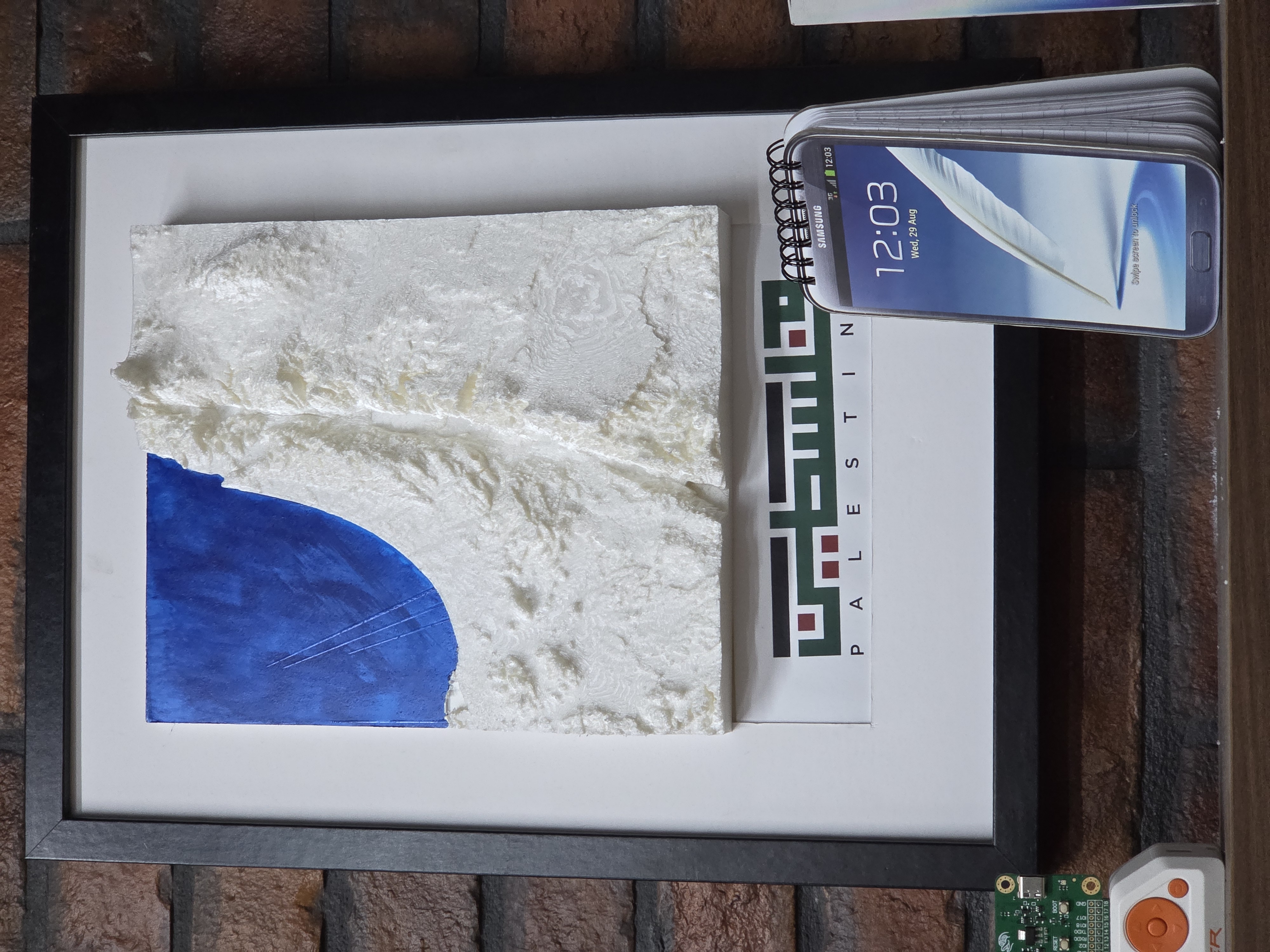
This is a Topographical Map of Palestine, it shows some of the neighboring countries including Jordan, Egypt, and Lebanon, and you can also see the lowest point on earth (dead sea) to the actual scale.
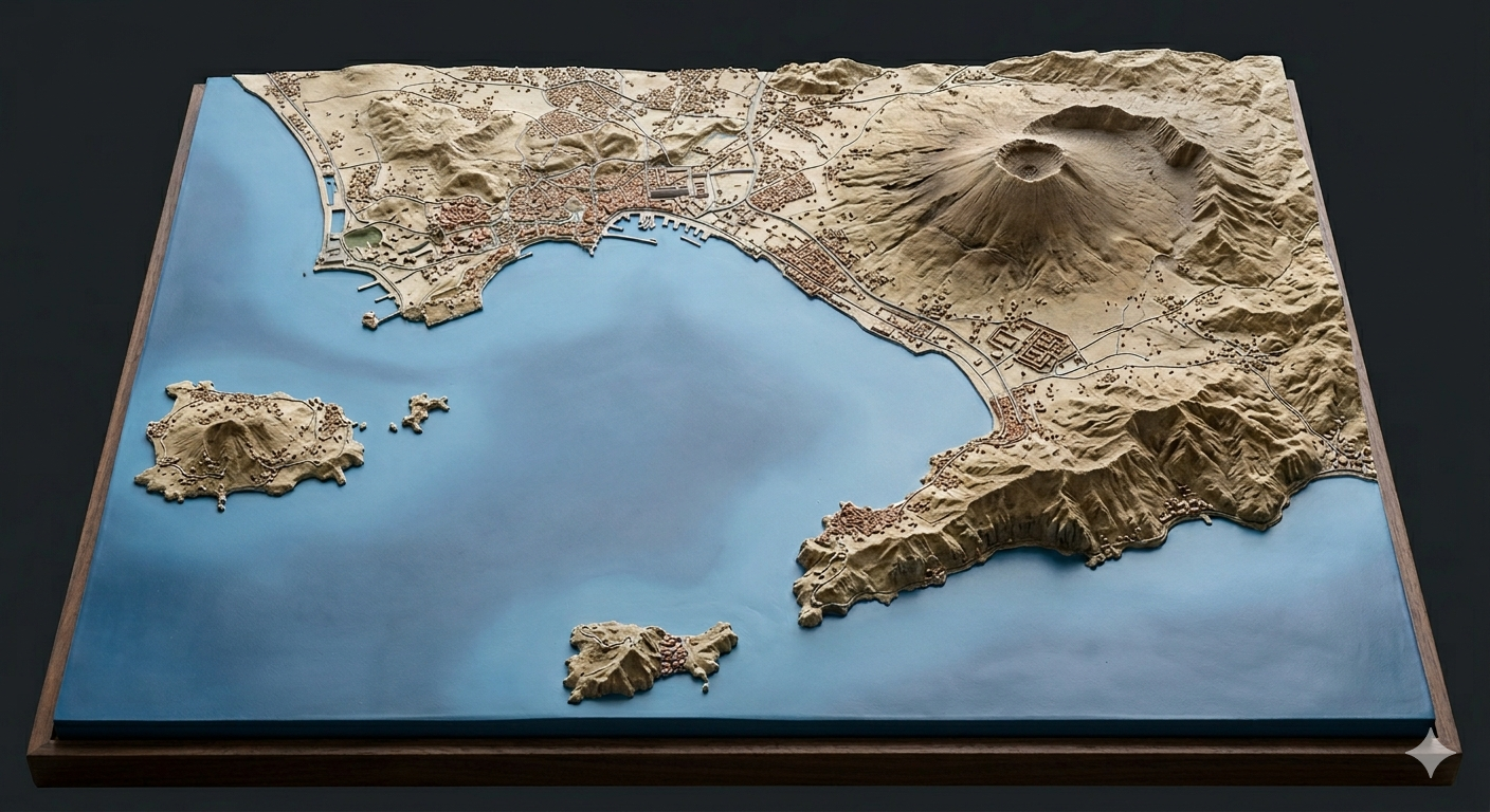
This topographic model offers a bird's-eye perspective of the Bay of Naples, stripping away the Mediterranean greenery dramatic landscape of the Campania region. At its heart sits the formidable Mount Vesuvius, its cratered summit looming…
The model is a little cursed so it requires support. I recommend a high support density and 0 interface layers.
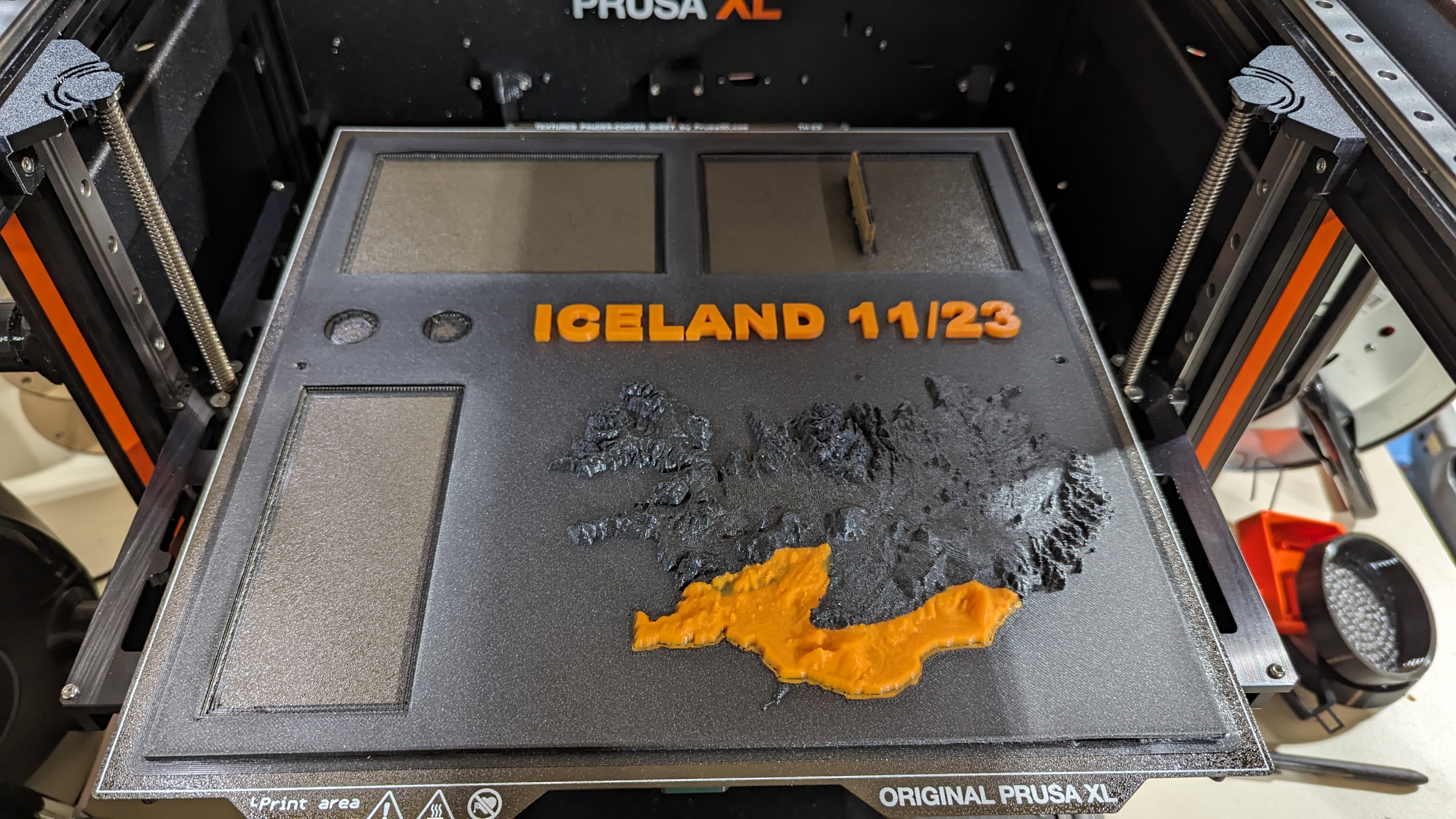
Model generated using data from OpenTopography, processed through QGIS. United States Geological Survey (2021). United States Geological Survey 3D Elevation Program 1/3 arc-second Digital Elevation Model. Distributed by OpenTopography.…
This is a Topographical Map 3MF File I made from the Subnautica 1 map. I've included the PNG in case anyone wants to tweak with their own settings. I initially came up with the idea when looking at Subnautica themed posters and wall art.…
Since I did not manage to find an existing print which fit my LCR-T3, I created mine. I used 3 M3x5 screws to secure the tester, and a M3x12 screw to create the thread in each hole. Due to poor board layout, a fourth screw cannot be used.…
US Geographical Map 3d print
In the pictures supplied I used a color changing Filament to assist with the elevation display, and black base filament so that the recessed letters would be more visible. I wish I had an actual scale, but I shrank this down to…
Compiled in QGIS using elevation data from JAXA's AW3D30 dataset.
A low poly topographical map of the great lakes along with surrounding states (Minnesota, Wisconsin, Illinois, Indiana, Michigan, Ohio, Pennsylvania, and New York). Happy printing :)
This is an enclosure for a Waveform / Signal Generator built with an Arduino Pro Mini or Nano (ATmega 168 is sufficient) and an AD9833 Programmable Waveform Generator. One 18650 Battery can be fitted inside the case together with charging…
I created a topographical map of the Grand Canyon using Touch Terrain . I like the way organic supports looked supporting complex objects so I also made it into a “wave” by replicating the topography on the back so it isn't flat. This…
State names printed backward and upside-down so you can emboss your pieces
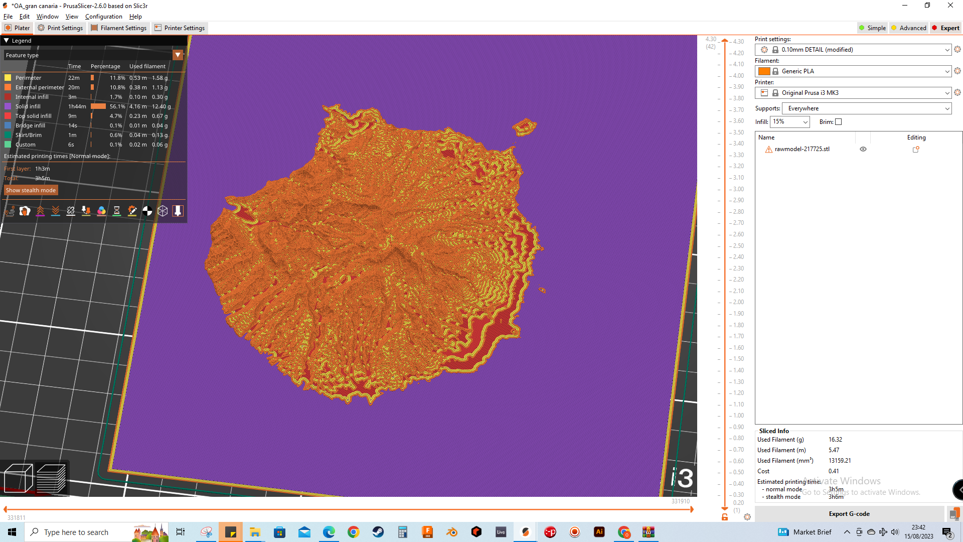
A scale model of Gran Canaria
Roaring River State Park is located in Missouri. It is home to great trout fishing, hiking, and camping.
Easily light up this sign with a light strip. Hang on a wall, or sit on a table for decoration.
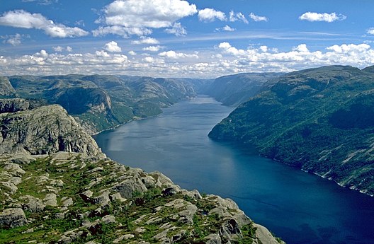
A geographically accurate school model of a fjord for teaching the Earth's lithosphere.
it is topographical map from a part of Greece
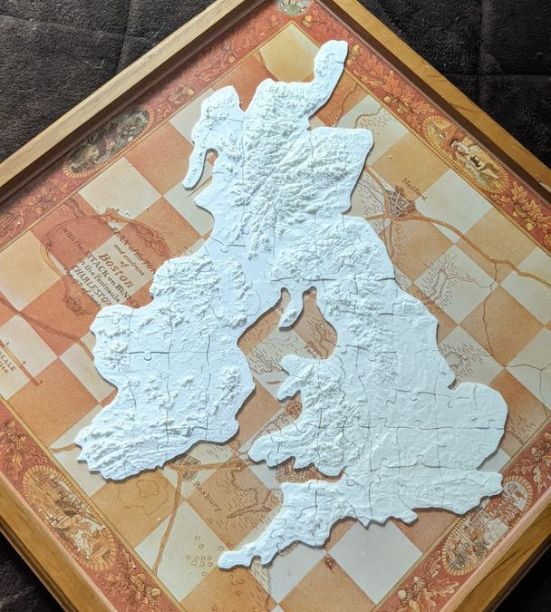
Piece together your very own accurate puzzle of the United Kingdom and Ireland! A 2mm tolerance was used between all the parts. Be aware of this if your printer isn't up to it. Plate 1 and Plate 2 are all that's needed to finish the…
Made from maps adapted from https://touchterrain-beta.geol.iastate.edu/main Printed with Ender 3 Pro with Creality PLA, I recommend using rafting to give the print an ‘edge’.
This is a simple topographical model of the island of Bermuda. It sits on a 5mm base. You can import in to something like tinkercad to add lettering for a personalized keepsake.
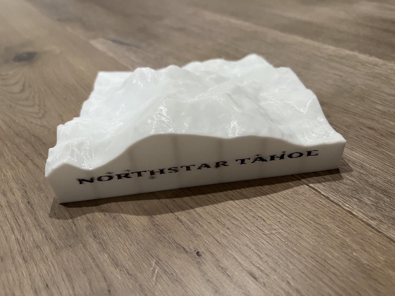
My family goes to Northstar every winter as my kids are in the ski/snowboard teams there. Always wanted to have a topographical map of the resort. =) Obtained the data from https://touchterrain.geol.iastate.edu/main. BTW, the print file…
You can add two 4X6 photos and a 1000 isk note. Use the pushers to push them in place. There are slots for 100isk and 50isk coins but I did not consider the coin width during design. you can hold the coins in place using tape (cannot use…
This is a simple frame I whipped up in OnShape for the Colorado Topographical Flag model here: https://www.printables.com/model/345656-colorado-topographical-flag I printed the original model at 35% X and Y and 70% Z for more pronounced…
Multi Color Metric Graphical Scale
I spent the last few days playing around with displacement maps of Barovia going through several iterations. I used some old code I wrote for a python bot to detect the X icon in mobile phone games to create a greyscale version of the…
Inspired by /u/ShakeWeightMyDick's post on reddit ( https://www.reddit.com/r/GhostsofSaltmarsh/comments/cnmth0/3d_topographical_map_of_the_saltmarsh_region/ ), I designed a 3D printable version. NOTE: The uploaded gcode contains all the…
Print @ .15mm layer height.
This is a 3d model of the 22 x 27.7 km area surrounding Mount Marcy, in Keene, NY with Mount Marcy in the middle. For the best detail, I recommend having a .12 mm layer height after the base. I used a .16 base layer height and adaptive…
This is how a part of Bryce canyon would have looked like if you were a bird.
Re-upload from my 2021 model on Thingiverse . I got bored over the last year, so I decided to make a puzzle using a topographical map of my favorite travel location Iceland . This puzzle consists of 247 pieces that, when printed at…
This is a 3x3 tiled topographical map of Keuka Lake located in the Finger Lakes region of New York State. This project came about after playing around with TouchTerrain and the desire to print out the entire lake with a limited printbed…
After posting my previous map I saw a reddit user had made their own custom map and I wanted to try making that too. Additionally a user shared a previous map with me which had a cool 3d render website so of course I wanted to try that.…
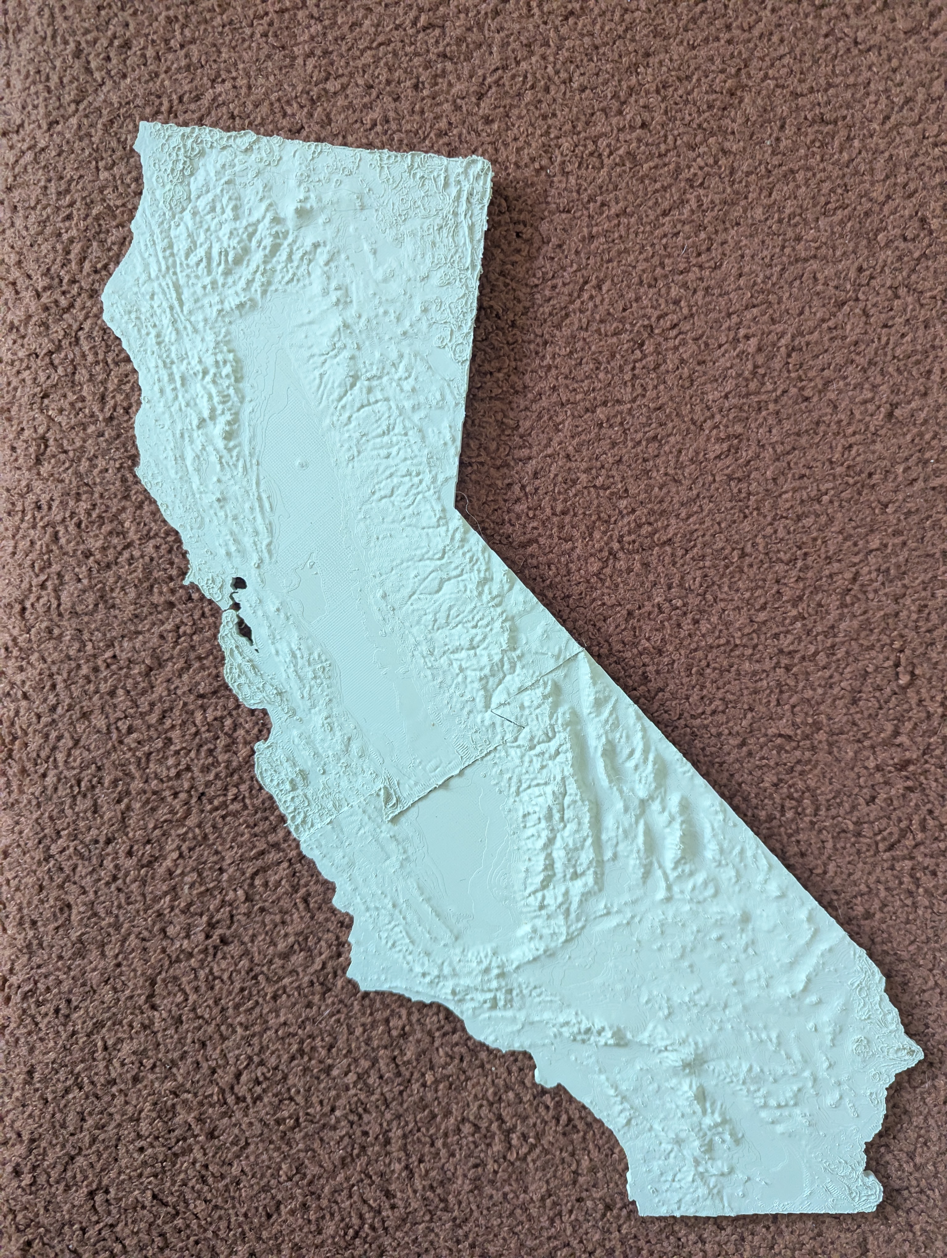
Topo map of California, made with https://touchterrain.geol.iastate.edu/ . To recreate topo, see zipped .kml file. Prints in two parts with a dovetail connection. Circular mouse ears added to help with lifting/warping
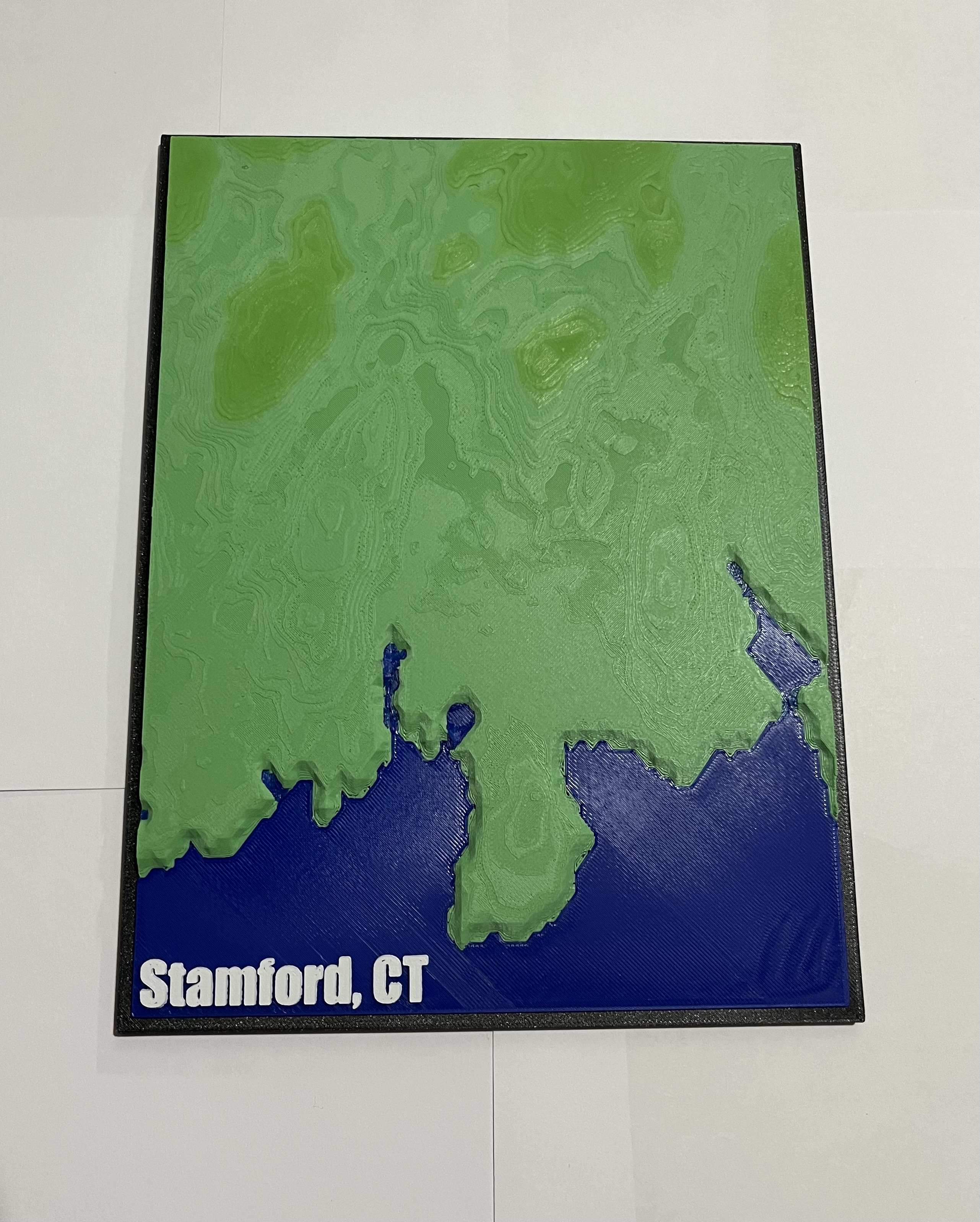
This is a relief map of Stamford Connecticut. It can be printed single color, but I think looks best in multicolor. I used variable layer height, with less detail for the base / border and higher detail for the terrain. See the files…
Topographical map of the iranian nuclear facility in fordow, based on satellite imagery
a 5 crossing knot inspired by Rober Fathauer defined by continuous discrete changes sin elevation Category: Math Art
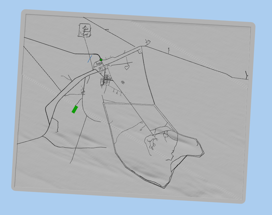
This model was created using the MapLab3D app. MapLab3D is a tool for creating 3D models of maps in STL format from freely available OpenStreetMap data and elevation data which can be printed on 3D printers without further processing. No…
This is a relief map of Stamford Connecticut. It can be printed single color, but I think looks best in multicolor. I used variable layer height, with less detail for the base / border and higher detail for the terrain. See the files…
This model was created using the MapLab3D app. MapLab3D is a tool for creating 3D models of maps in STL format from freely available OpenStreetMap data and elevation data which can be printed on 3D printers without further processing. No…
Mapa topográfico del Ecuador Basado en varios estudios de LIDAR, datos de la NASA, etc Revisado en 2026 Por D.B