
Iran Topographic Map - IR
We calculate the final price from your selected file. You review and accept it before payment.
Saved on this device.
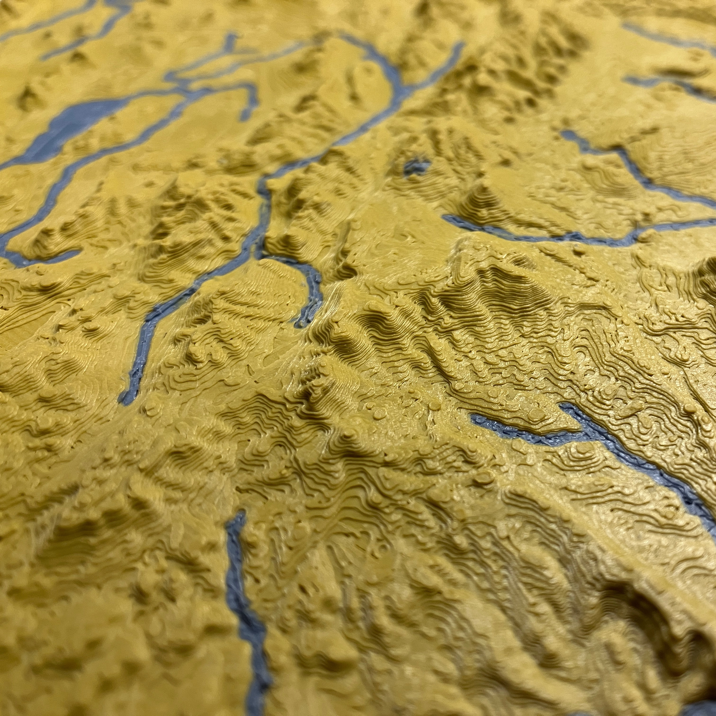
Topographic map of Iran including streams, coastlines, and lakes.
- Rating
- 0 / 5
- Likes
- 13
- Downloads
- 181
- Makes
- 0
- Views
- 1,023
- Reviews
- 0
Updated at source:
Model information
- Source
- Printables
- Category
- Sculptures
- License
- Creative Commons — Attribution — Noncommercial
Topographic map of Iran including streams, coastlines, and lakes.
The magnetic display stand pictured is also a 3D printable model.
See https://ansonliu.com/maps/ for map scale and specifications. All my models are available for free on my website.
This model was created at 1:5000000 scale (10x elevation) with ~1km resolution.
The slicer premade files are available under the dropdown menu for more files. Those two premade models are scaled down to 1:10000000 scale and 10x elevation for easily printing on a single bed. If you want to print the map larger, you may increase the scale of the model to print it larger with minimal detail loss.