P
PrintablesDevrosx

Czech map regions puzzle
Print with any material…
- Downloads
- 559
- Likes
- 93
- Rating
- 5
10 models
Folding puzzle map of the Czech Republic divided into regions. You can adjust the size in PrusaSlicer - I adjusted it to 150%. Later I will add the option as a blind map without names. I see the use in education for children in the first…
This collection of STL files features detailed 3D models of the administrative regions of Italy: Abruzzo Basilicata Calabria Campania Emilia-Romagna Friuli-Venezia Giulia Lazio Liguria Lombardia Marche Molise Piemonte Puglia Sardegna…
Play with geography, a puzzle with the 20 regions of Italy. Regions of Italy Tested in PLA, 0.2 mm layer. No supports required.
A compact, support-free stadium display stand for all three SNES / Super Famicom cartridge styles: PAL/EU, North American, and Japanese. The stepped layout raises each cartridge so the collection is easy to see, access, and rearrange. The…
Czech Republic regions Morava,Slezsko,Čechy
Introduction: This model was developed for the educational purposes, to illustrate the population in regions in The Gambia. It can be used in schools in several ways: Assembling the printed map by students or using the map as reference to…
V4 is the only one that actually slices so please use that one printed in less then 30 minutes on my adventurer 5m at around 45% scale.
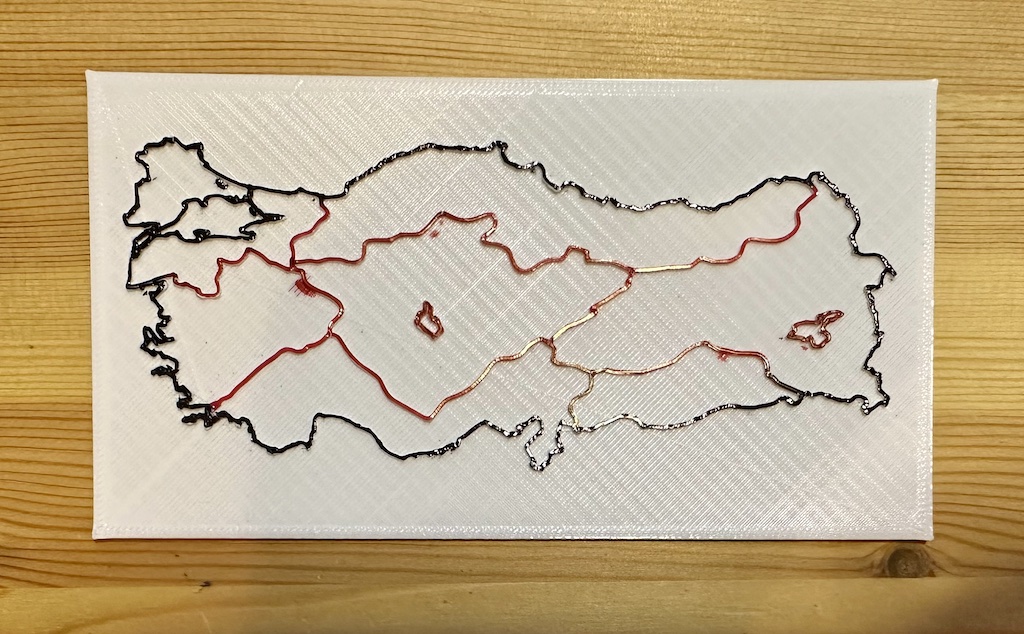
Generated from the following SVG file: https://commons.wikimedia.org/wiki/File:Latrans-Turkey_location_Mediterranean_Region.svg
Polish regions split into top and bottom sections plus magnet holes. Magnet holes fit 2x5mm magnets with margin. Size is 1.5x of the original size. Some regions are cut in 2 pieces so optionally glue those together.