Search results: bathymetry

Sort order

Counting matching models…

P
PrintablesBill Catherall

Crater Lake Topography and Bathymetry

This model shows the topography and bathymetry of Crater Lake. For better looking results I recommend using PrusaSlicer's variable layer height feature. To save time print the bottom ⅓ of the model at 0.30mm layer height, and the top ⅔ at…

Downloads
172
Likes
22
Rating
5
P
PrintablesPhilip Reed

Lithophane of Earth Topography and Bathymetry

Print w/99% infill No supports, Brim recommended Link for lights: https://www.amazon.com/gp/product/B07KB2HYY1/ref=ppx_yo_dt_b_search_asin_title?ie=UTF8&psc=1 Link for additional remotes:…

Downloads
86
Likes
27
Rating
0
P
Printablesultramarine

realistic earth with topography and bathymetry

realistic earth(.obj+.mtl or .blend) P.S.:if you opened the .blend file,pls use Cycles.

Downloads
70
Likes
3
Rating
0
P
PrintablesGordonUber6ix

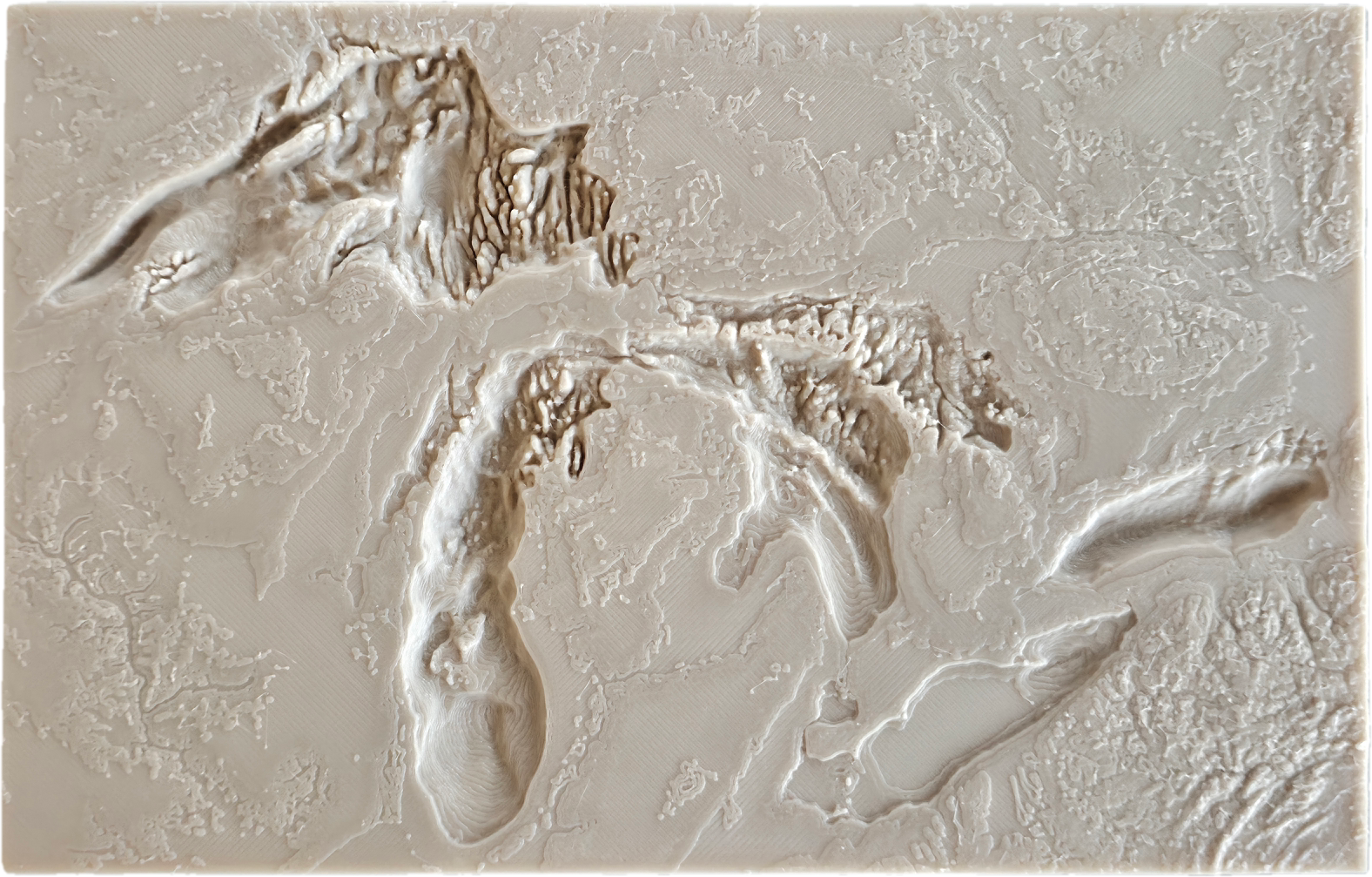
Great Lakes Bathymetry & Topography

This model represents the Great Lakes using real-world bathymetric data sourced from NOAA’s Grid Extract tool. The dataset captures the true underwater terrain of the lakes, providing an accurate physical representation of their depth and…

Downloads
26
Likes
4
Rating
0
P
PrintablesOliver

Bathymetry of Higgins Lake, MI

Bathymetry model of Higgins Lake, MI. Traced from image of bathymetry map so it is to scale, with Z axis exaggerated to 500%. .stp file included to allow you to add notes or images to the model, such as the star I have placed in the jpg…

Downloads
18
Likes
0
Rating
0
P
PrintablesOliver

Bathymetry+Topology of Higgins Lake, MI

Added Topography to the Higgins Lake Model. Print Settings Printer Brand: Prusa Printer: I3 MK3S Rafts: No Supports: No Resolution: .2mm Infill: 15% Notes: Using Prusaslicer, I added color changes. One color change when areas around the…

Downloads
13
Likes
0
Rating
0

Fisherman's Wharf Harbor & Pier 45 Bathymetry

Rendering of Multibeam Soundings taken during 2025 within Fisherman's Wharf Harbor & east of Pier 45. Z-Height is exaggerated 3x for the Bathymetry. Pier & Land base locations extrapolated from Survey data, Pier Deck file extrapolated…

Downloads
4
Likes
2
Rating
0