Wyniki wyszukiwania: maps

Sortowanie

Liczymy pasujące modele…

P
Printablesmultilayers
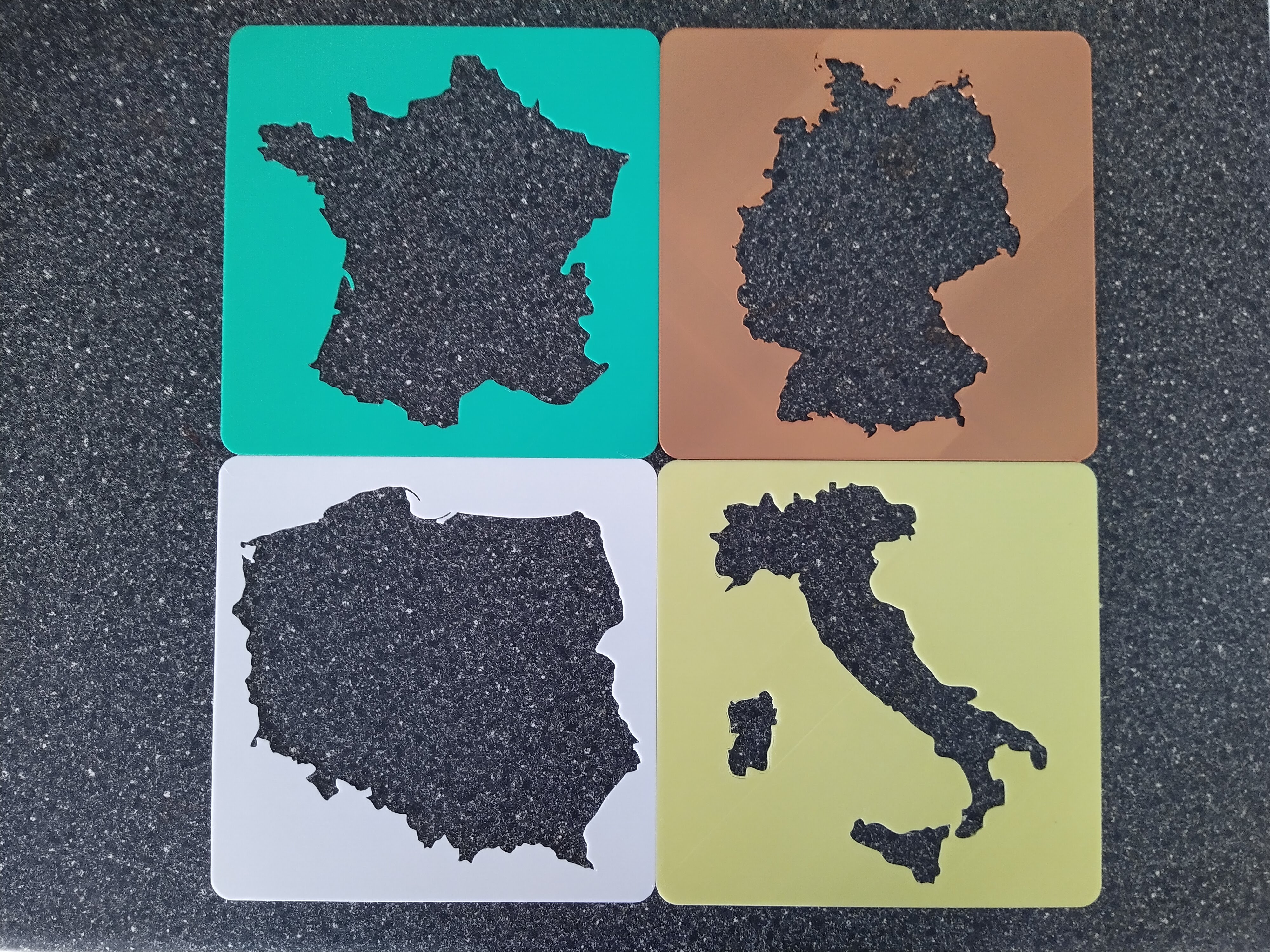
FRANCE GERMANY POLAND ITALY HOLLOW MAPS

Hollow Maps of European Countries Made with tracing the inside onto paper in mind. Size: 160mm X 160mm X 1mm thick. Can be resized in you slicer. Layers: 0.2mm or less. Countries so far: FRANCE, GERMANY, POLAND, ITALY.

Wydruk około 1,67 €–2,04 € nettoWstępna wycena jednego wariantu

Pobrania
114
Polubienia
18
Ocena
5
P
Printablesmultilayers

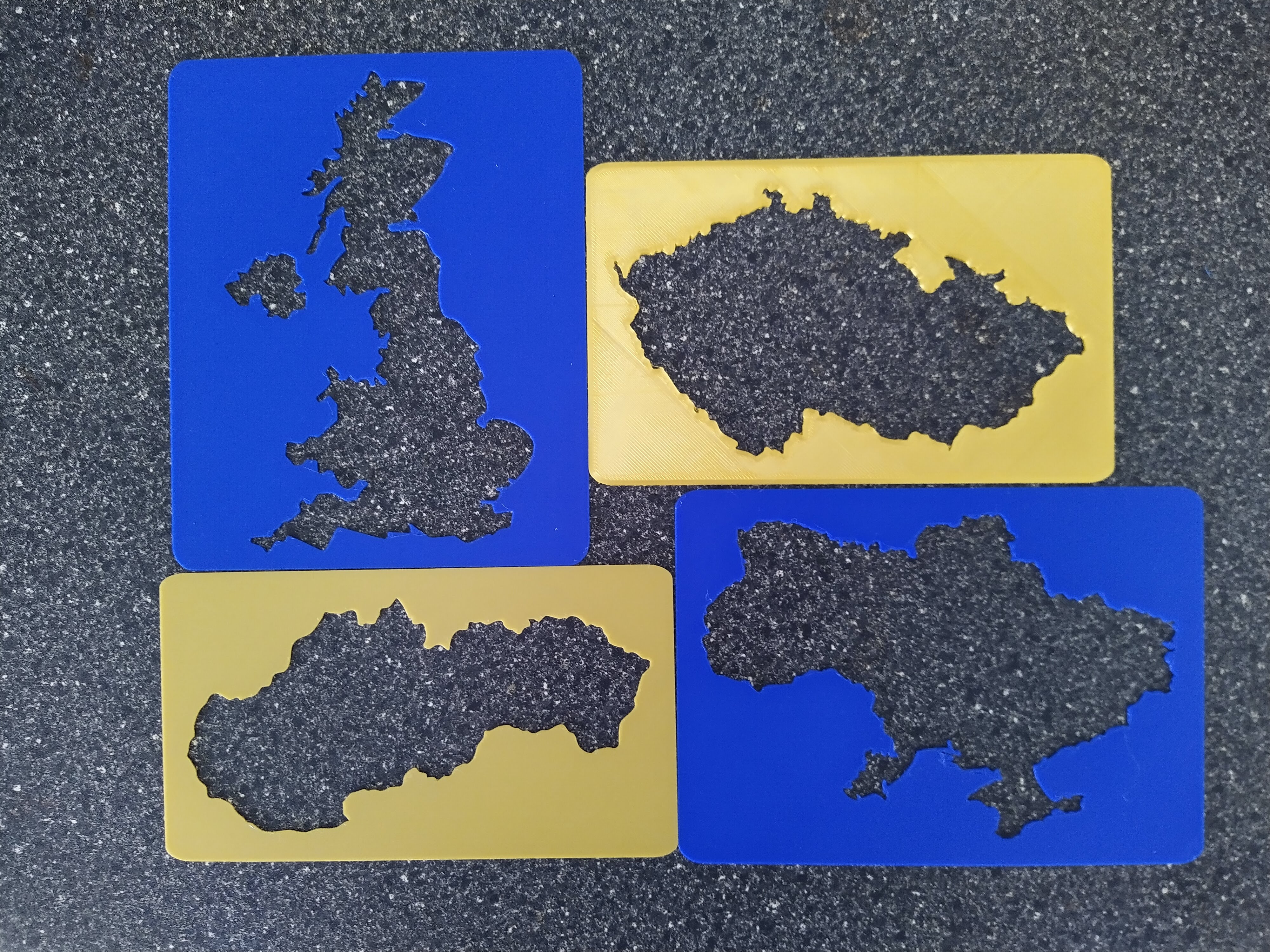
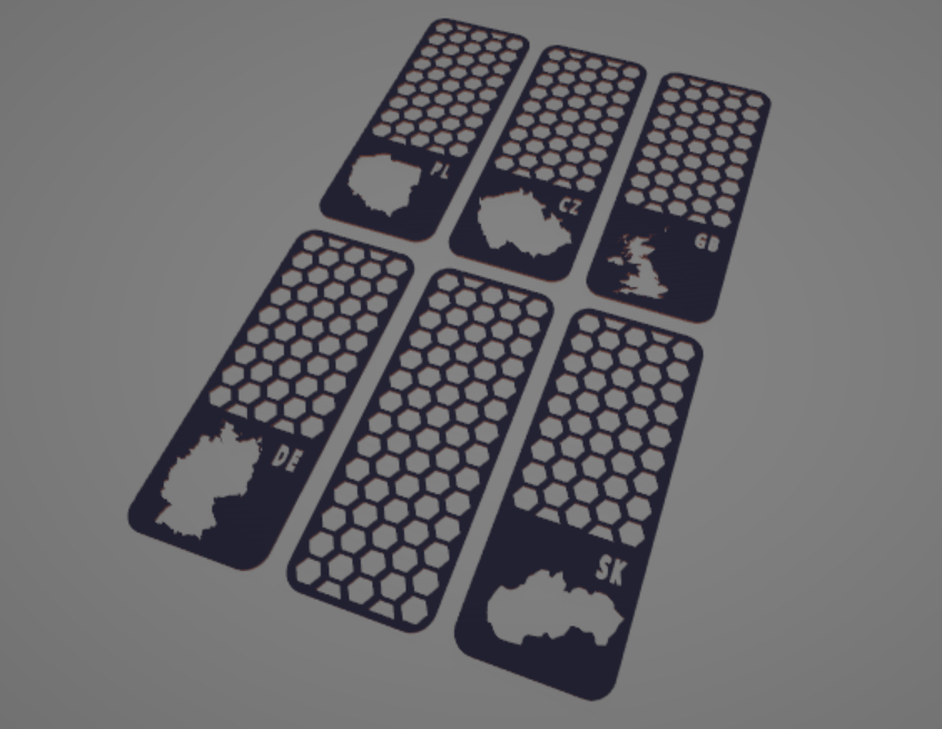
UNITED KINGDOM UKRAINE CZECH REPUBLIC SLOVAKIA SWITZERLAND AUSTRIA HOLLOW MAPS

Hollow Maps of European Countries Made with tracing the inside onto paper in mind. Size: (over 100mm wide) X 1mm thick. Can be resized in you slicer. Layers: 0.2mm or less. Countries so far: UNITED KINGDOM, UKRAINE, CZECH REPUBLIC,…

Wydruk około 1,92 €–2,35 € nettoWstępna wycena jednego wariantu
Pobrania
69
Polubienia
18
Ocena
0
P
PrintablesTinyMtn

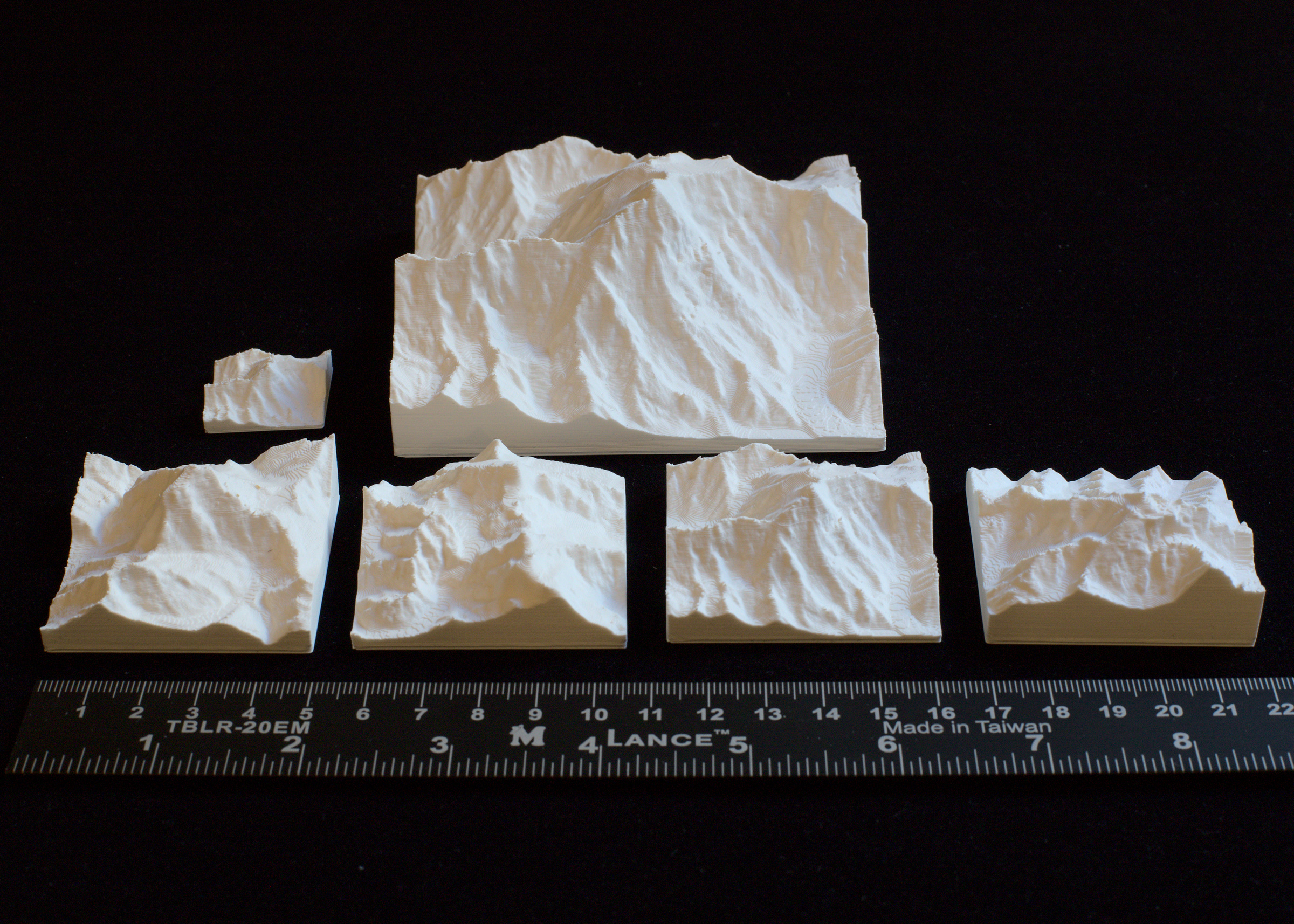
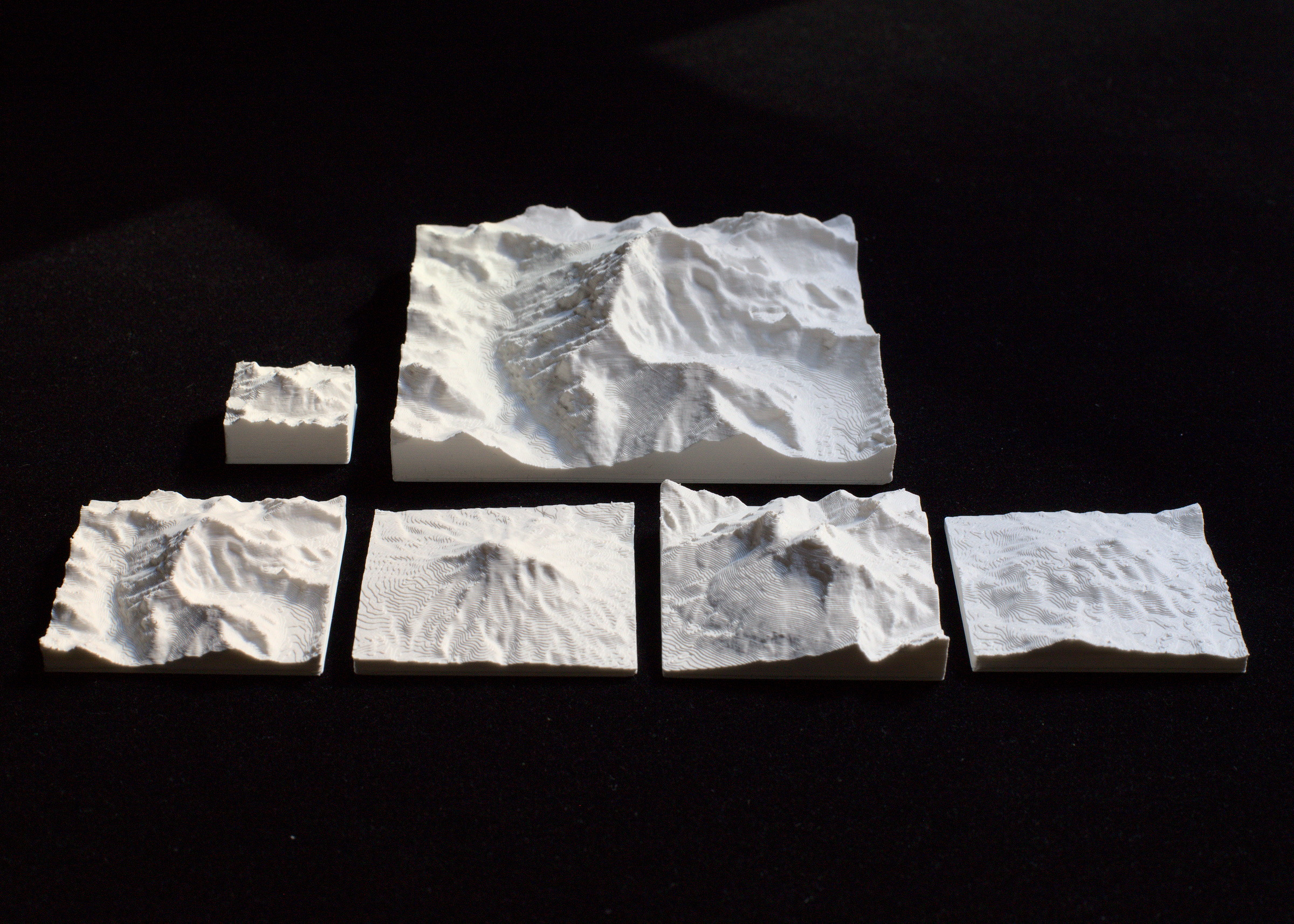
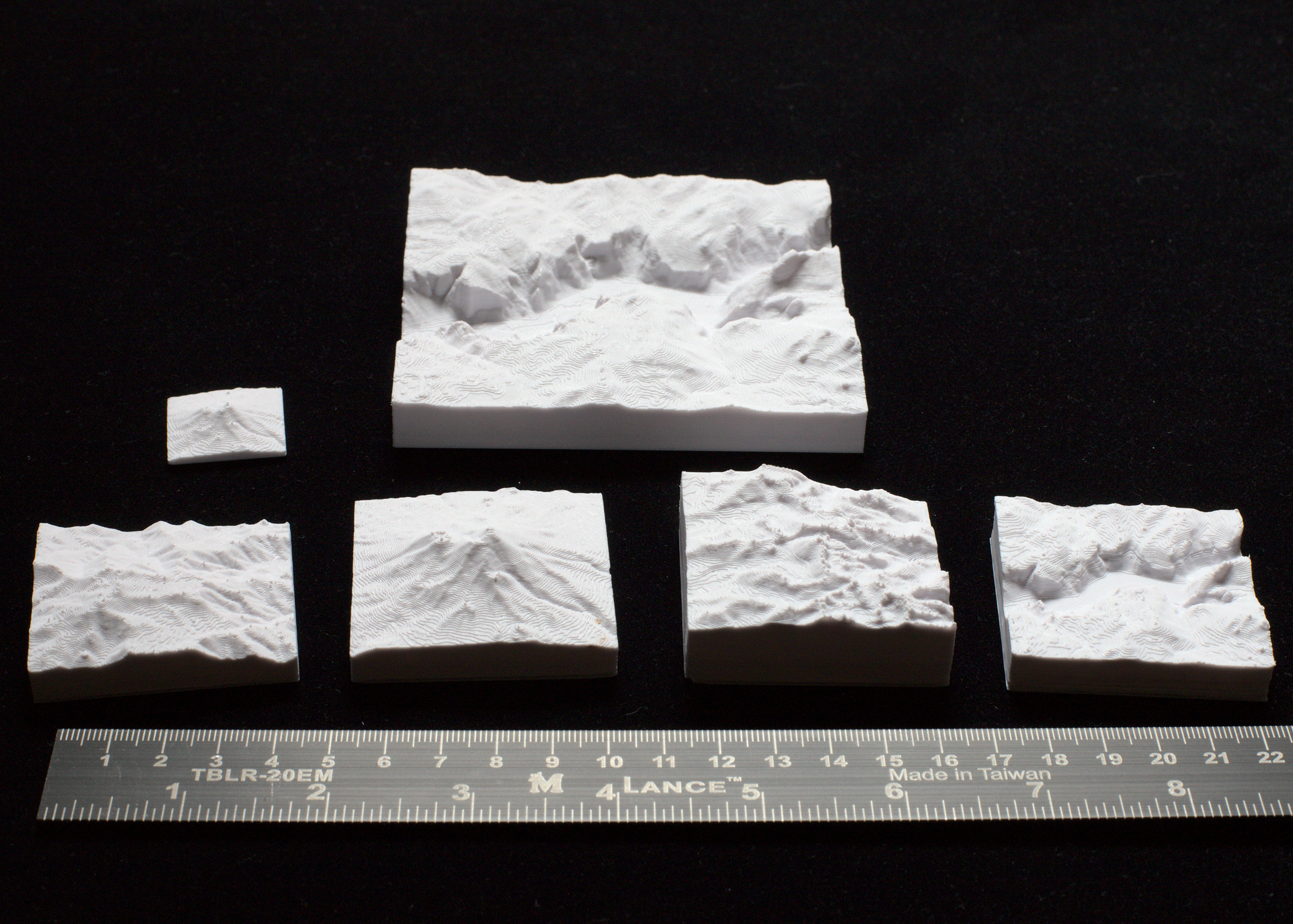
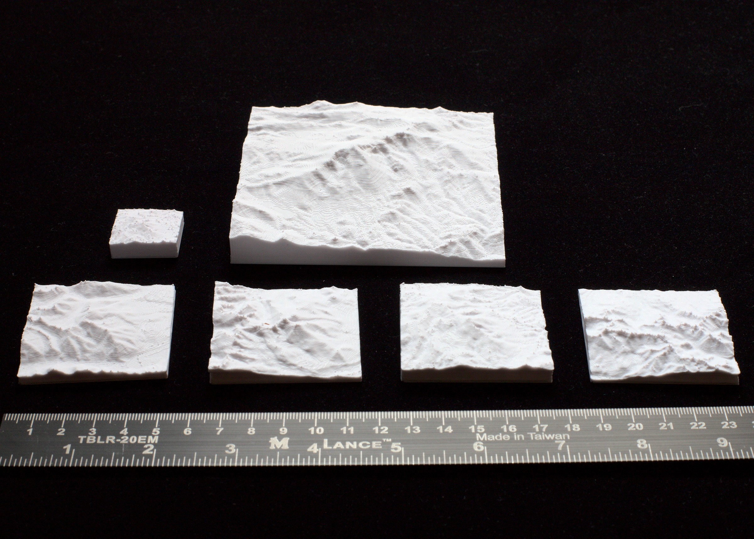
Mont Blanc, Eiger, Matterhorn, Monte Rosa 3D Maps

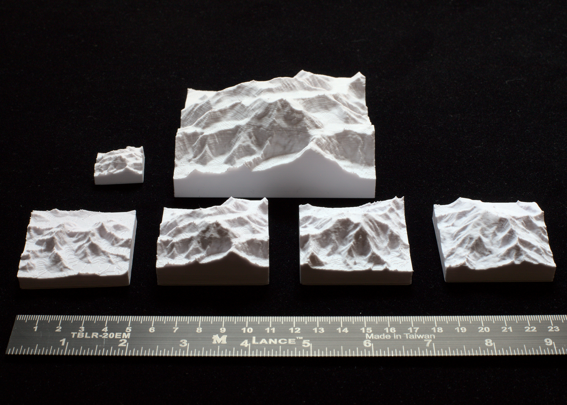
TinyMtn Free Pack 14 - Alps This is a package with sets of 3D model files for four iconic mountains in the Alps. Mont Blanc, 4810 m / 15,781 ft Eiger, Jungfrau, Mönch, 4158 m / 13,642 ft Matterhorn, 4478 m / 14,692 ft Monte Rosa, 4634 m /…

Pobrania
561
Polubienia
56
Ocena
5
P
PrintablesFrederik

TopoTrail – Online Generator for 3D Trail Maps

Create 3D maps of your trails for free on TopoTrail.com by simply uploading one or more .gpx files. TopoTrail.com Features: 🌊 Automatic Coloring of Seas, Lakes, and Rivers 🏢 Includes buildings 🗂 Upload Multiple GPX Files on a Single Map 🟩…

Pobrania
298
Polubienia
1404
Ocena
5
P
PrintablesTinyMtn

Rainier, Adams, Baker, Mt. St. Helens 3D Maps

TinyMtn Free Pack 1 - Washington This is a package with 3D model files for four notable mountains in the state of Washington, USA. Mt. Rainier, 14,417 ft / 4394 m Mt. Adams, 12,281 ft / 3744 m Mt. Baker, 10,786 ft / 3287 m Mt. St. Helens,…

Pobrania
286
Polubienia
39
Ocena
5
P
PrintablesTinyMtn

Everest, Lhotse, Kangchenjunga, Makalu, Cho Oyu 3D Maps

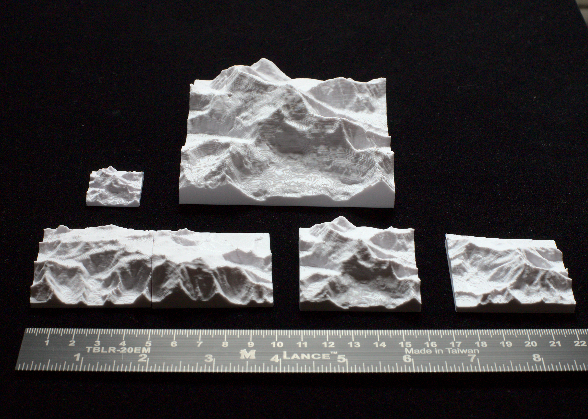
TinyMtn Free Pack 11 - Himalayas This is a package with sets of 3D model files for four high mountains in the Khumbu Himal. Everest / Lhotse, 8849 m / 29,032 ft Kangchenjunga, 8586 m / 28,169 ft Makalu, 8485 m / 27,838 ft Cho Oyu, 8188 m…

Pobrania
259
Polubienia
35
Ocena
5
P
PrintablesProjunk

Parametric Hieroglyphic Alphabet (high resolution bitmaps)

Parametric Hieroglyphic Alphabet. With the openscad program "Hieroglyphics.scad" it is possible: to draw parametric hieroglyphic texts by use of the function "drawText()" to draw a hieroglyphic text inside a cartouche by use of the…

Pobrania
208
Polubienia
16
Ocena
0
P
PrintablesTinyMtn

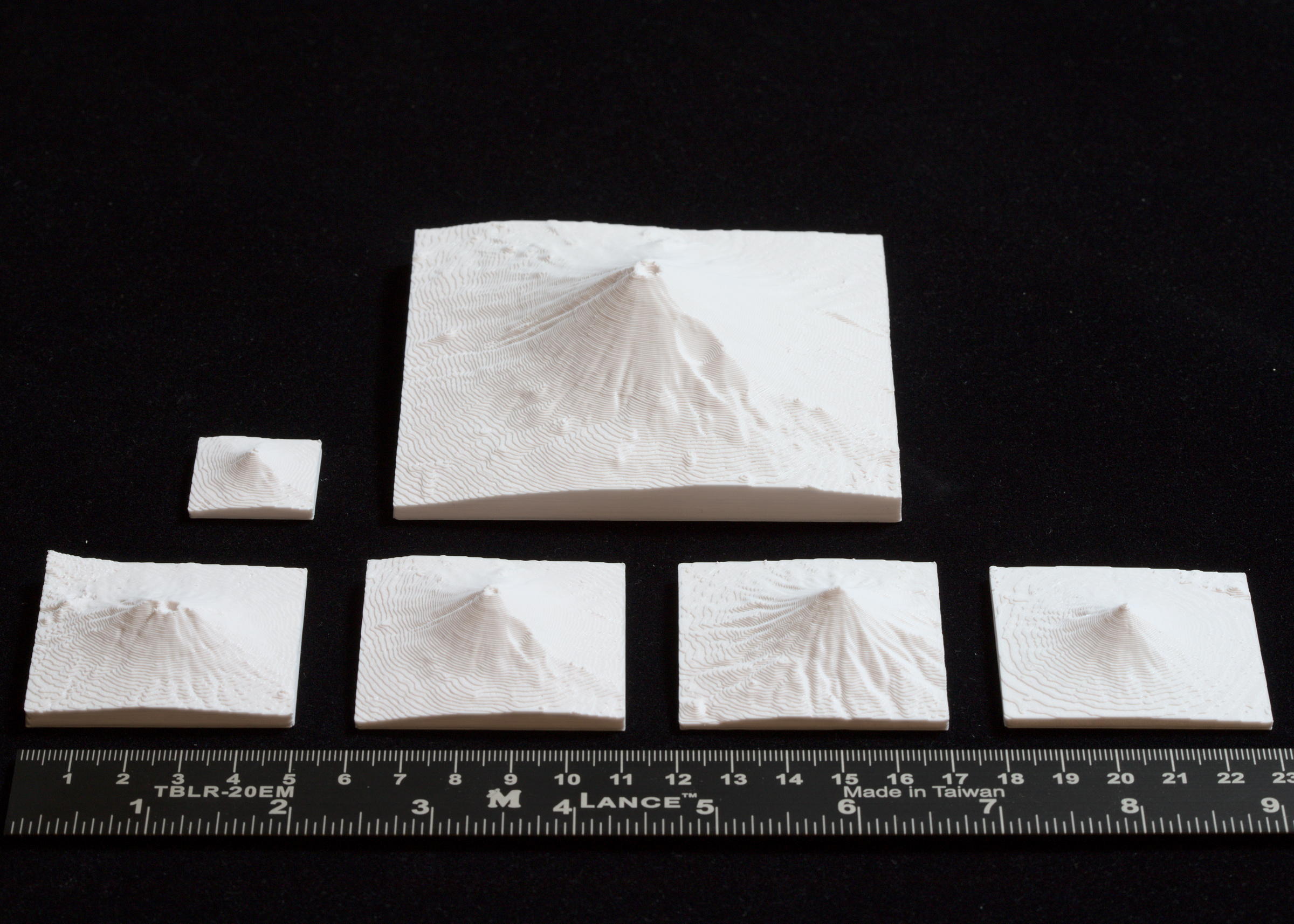
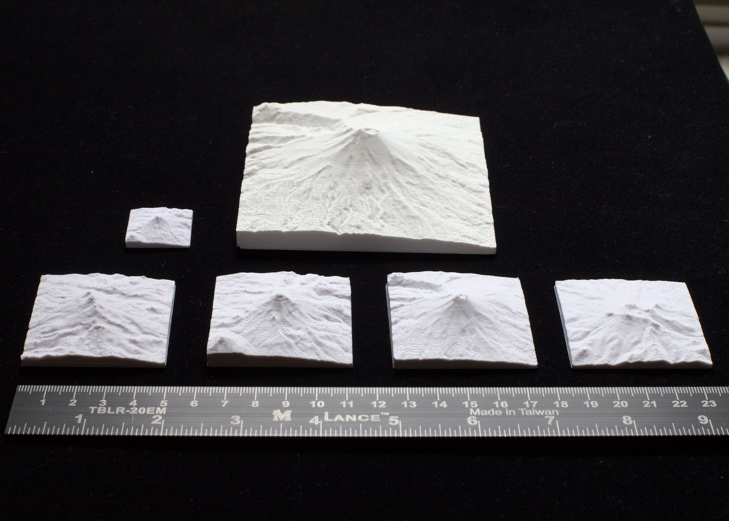
Mount Agung, Mt. Fuji, Kronotskaya Sopka, Mayon Volcan 3D Maps

TinyMtn Free Pack 15 - Ring of Fire This is a package with sets of 3D model files for four symmetric volcanic cones on the Ring of Fire. Mount Agung, 3031 m / 9944 ft Mt. Fuji, 3776 m / 12,388 ft Kronotskaya Sopka, 3528 m / 11,575 ft…

Pobrania
189
Polubienia
21
Ocena
0
P
PrintablesCoffey72

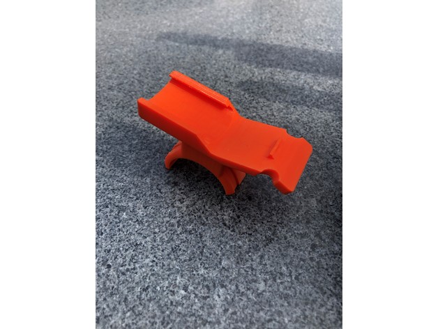
Garmin 35mm Handlebar Holder Oregon Etrex GpsMaps

Holder for a 35mm Bike Handlebar. Its a Remix but i can't remember the source Thing. I remixed it to fit on a 35mm Handlebar with a Short stem. You can use 2 Cable ties to fix it on the Bar. I placed a small thin part of a bicycle tube…

Pobrania
187
Polubienia
10
Ocena
5
P
PrintablesTinyMtn

Dhaulagiri, Manaslu, Nanga Parbat, Rakaposhi 3D Maps

TinyMtn Free Pack 13 - More Himalayas This is a package with sets of 3D model files for four more high mountains in the Himalayas. Dhaulagiri, 8167 m / 26,795 ft Manaslu, 8163 m / 26,781 ft Nanga Parbat, 8125 m / 26,657 ft Rakaposhi, 7788…

Pobrania
185
Polubienia
12
Ocena
5
P
PrintablesTinyMtn

Aconcagua, Chimborazo, Huascarán, Ojos del Salado 3D Maps

TinyMtn Free Pack 10 - Andes This is a package with sets of 3D model files for four notable mountains in the Andes. Aconcagua, 6962 m / 22,841 ft Volcán Chimborazo, 6267 m / 20,561 ft Nevado Huascarán, 6768 m / 22,205 ft Ojos del Salado,…

Pobrania
184
Polubienia
23
Ocena
5
P
PrintablesTinyMtn

Washington, Katahdin, Mansfield, Greylock 3D Maps

TinyMtn Free Pack 12 - New England This is a package with 3D model files for four high points in New England, USA Mt. Washington, 6288 ft / 1917 m Mt. Katahdin, 5268 ft / 1606 m Mt. Mansfield, 4393 ft / 1339 m Mt. Greylock, 3487 ft / 1063…

Pobrania
168
Polubienia
16
Ocena
5
P
PrintablesTheOvenCook

Codenames pictures box - rectangle maps

Box to store codenames pictures in, 3x types of cards and the plastic card holder. This is for the rectangular maps.

Pobrania
158
Polubienia
9
Ocena
4,5
P
PrintablesTinyMtn

Orizaba, Popocatepetl, Iztaccihuatl, Toluca 3D Maps

TinyMtn Free Pack 9 - Mexico This is a package with sets of 3D model files for four notable mountains in Mexico. Pico de Orizaba, 5636 m / 18,491 ft Volcán Popocatépetl, 5413 m / 17,759 ft Volcán Iztaccíhuatl, 5213 m / 17,103 ft Nevado de…

Pobrania
150
Polubienia
9
Ocena
0
P
PrintablesTinyMtn

Grand Tetons, Moran, Gannett, and Cirque of the Towers 3D Maps

TinyMtn Free Pack 7 - Wyoming This is a package with 3D model files for four notable landscapes in the state of Wyoming, USA. Grand Teton 13,775 ft / 4199 m Gannett Peak 13,810 ft / 4209 m Cirque of the Towers (Lizard Head Peak) 12,847 ft…

Pobrania
144
Polubienia
19
Ocena
0
P
PrintablesMylerMaker3D

"Maps Divided" - Split Maps Set 1

TIP: Navigate to "Model Files" below and download just the maps you want (each map is in two pieces). Unique maps highlighting some of the ultimate rivalries across college football, pro football, pro soccer, and even "pro fantasy…

Pobrania
114
Polubienia
28
Ocena
0
P
PrintablesTinyMtn

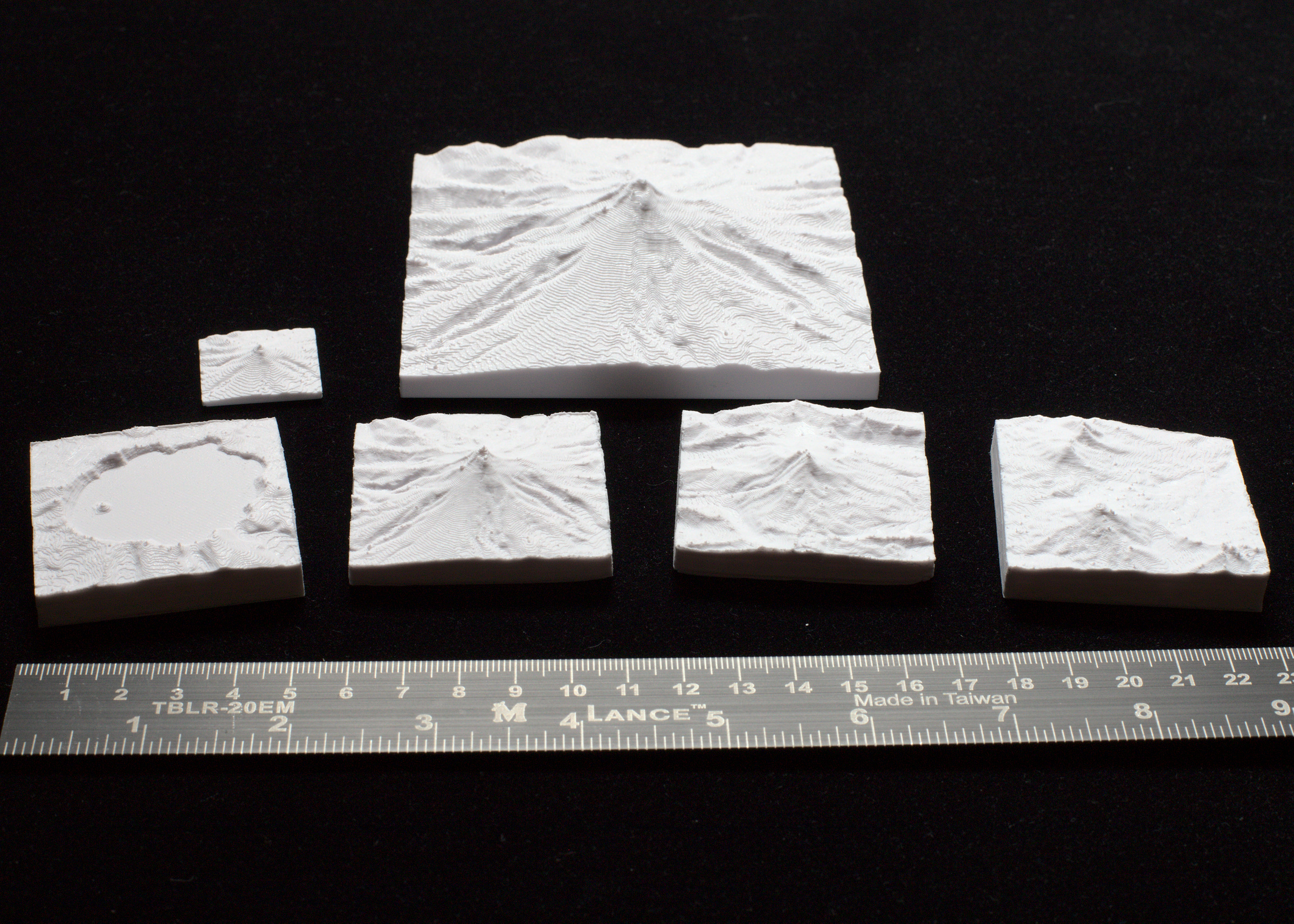
Hood, Jefferson, Three Sisters, Crater Lake 3D Maps

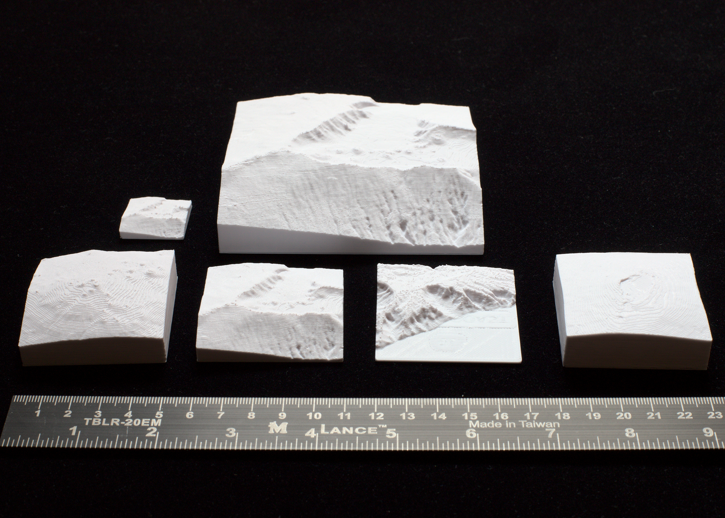
TinyMtn Free Pack 2 - Oregon This is a package with 3D model files for four notable landscapes in the state of Oregon, USA. Mt. Hood 11,243 ft / 3427 m Mt. Jefferson 10,502 ft / 3200 m South Sister 10,363 ft / 3158 m Crater Lake (Hillman…

Pobrania
109
Polubienia
17
Ocena
0
P
Printablesmaps

3Dmaps Pond Bio Ball

Balls for the purifier, or ponds in which symbiotic bacteria settle, that purify the water. This is a quick 3d model remixed. I still haven't printed this. I made this to be self assembly and trying to avoid the usage of glue. The more…

Pobrania
102
Polubienia
12
Ocena
0
P
Printablesmultilayers

AUSTRALIA AND UNITED STATES HOLLOW MAPS

Hollow Maps of Australia and USA Made with tracing the inside onto paper in mind. Size: (over 100mm wide) X 1mm thick. Can be resized in you slicer. Layers: 0.2mm or less.

Pobrania
92
Polubienia
10
Ocena
0
P
PrintablesTinyMtn

Whitney, Shasta, San Jacinto, Yosemite 3D Maps

TinyMtn Free Pack 3 - California This is a package with 3D model files for four notable landscapes in the state of California, USA. Mt. Whitney 14,505 ft / 4421 m Mt. San Jacinto 10,843 ft / 3305 m Mt. Shasta 14,168 ft / 4319 m Yosemite…

Pobrania
90
Polubienia
13
Ocena
0
P
PrintablesTinyMtn

Elbert, Longs, Pikes, Sneffels 3D Maps

TinyMtn Free Pack 6 - Colorado This is a package with 3D model files for four notable landscapes in the state of Colorado, USA. Mt. Elbert 14,440 ft / 4401 m Longs Peak 14,260 ft / 4347 m Pikes Peak 14,116 ft / 4303 m Mt. Sneffels 14,156…

Pobrania
90
Polubienia
11
Ocena
0
P
PrintablesEduardo Esaine

NFC Google Maps Pin

a google maps pin to hang in any wall with an NFC tag to link anywhere

Pobrania
90
Polubienia
12
Ocena
0
P
PrintablesPlunning

Google Maps Pin Birdhouse

A bird house in the form of the iconic Google Maps pin. There are 2 versions, one with a perch and one without. The print has designed with a 0,2mm tolerance and depending on your printers capacity you may need to resize the perch.…

Pobrania
78
Polubienia
29
Ocena
0
P
Printablesmaps

maps Ender 3 and Ender 3 Pro Belt Tensioner Fat pack

Main positive points from this design: Fat pack with solutions more easier to assemble the belt with the tensioner mounted adapted for a roller GT2 20 with inner diameter of 3mm instead of the stock one. Still with the bushing for the…

Pobrania
72
Polubienia
9
Ocena
0
P
PrintablesTinyMtn

Mts. St. Elias, Logan, Vancouver 3D Maps

TinyMtn Free Pack 8 - Yukon This is a package with four sets of 3D model files for three notable mountains in Yukon, Canada. Mt. Logan E, 19,551 ft / 5959 m Mt. Logan W (Houstons Peak), 18,766 ft / 5720 m Mt. St. Elias, 18,008 ft / 5489 m…

Pobrania
71
Polubienia
8
Ocena
0
P
Printablesmaps

3Dmaps Spool Winder

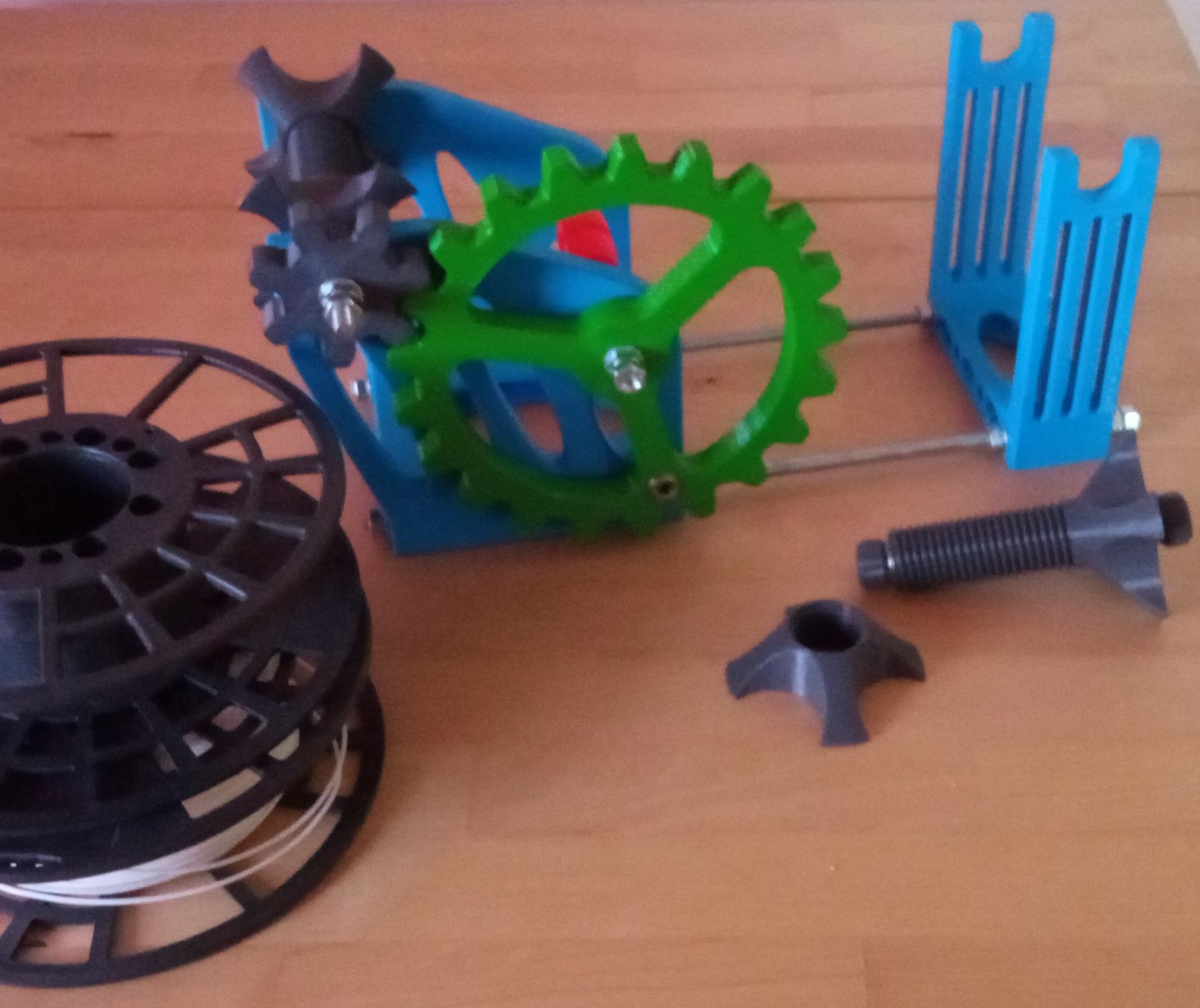
Main positive points from this design: Fix fillament spools help to weld filament soon there will be also a spoon holder using parts of this winder for my Direct Drive Extruder BOM: 2 rod's M8x1000 +/- 12 nuts M8 5 standart rollers with…

Pobrania
60
Polubienia
9
Ocena
0
P
PrintablesTinyMtn

Kea, Loa, Haleakala, Napali 3D Maps

TinyMtn Free Pack 5 - Hawaii This is a package with 3D model files for four notable landscapes in the state of Hawaii, USA. Mauna Kea, 13,796 ft / 4205 m Mauna Loa, 13,679 ft / 4169 m Haleakala, 10,023 ft / 3055 m Napali Coast Each…

Pobrania
59
Polubienia
5
Ocena
0
P
Printablesmaps

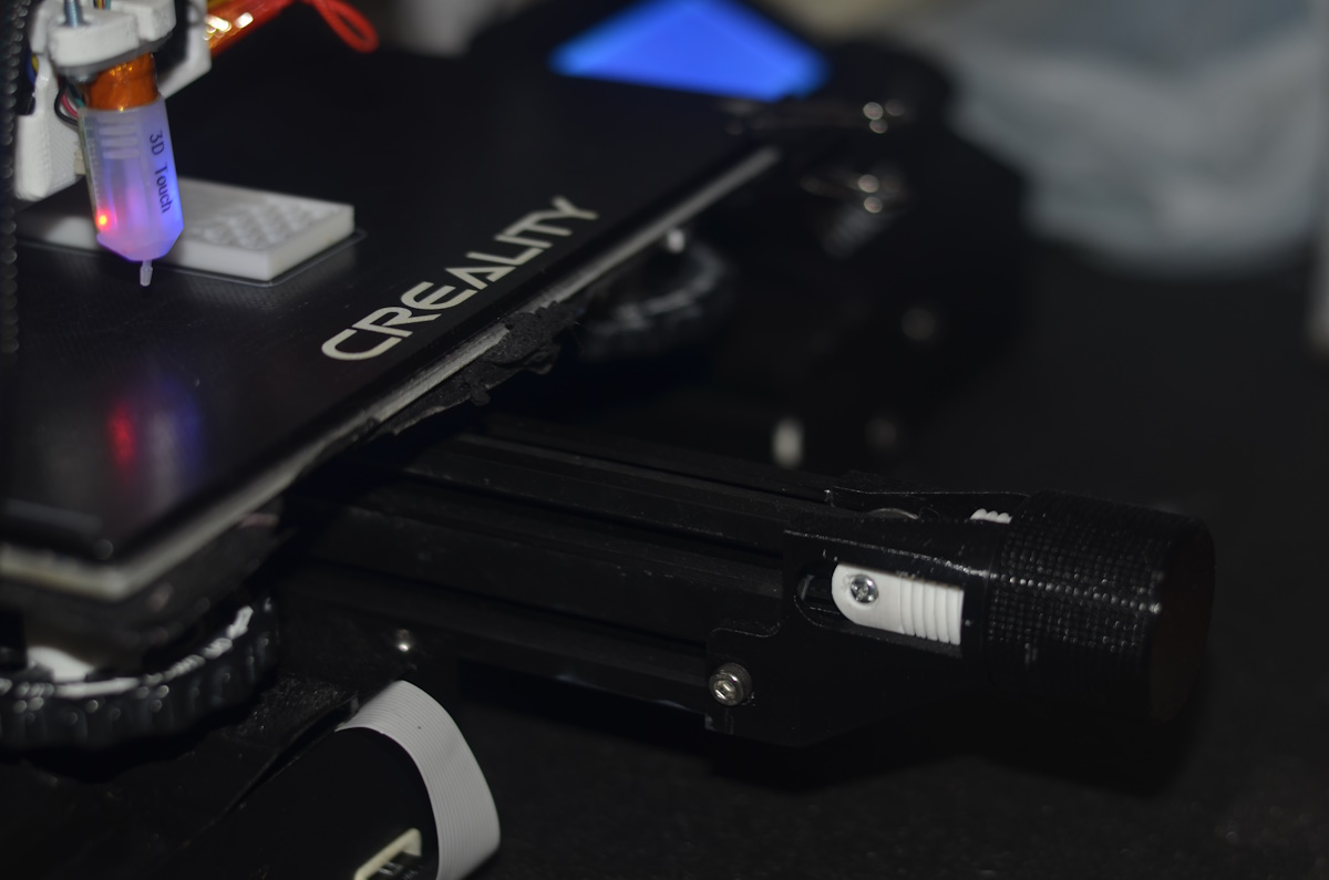
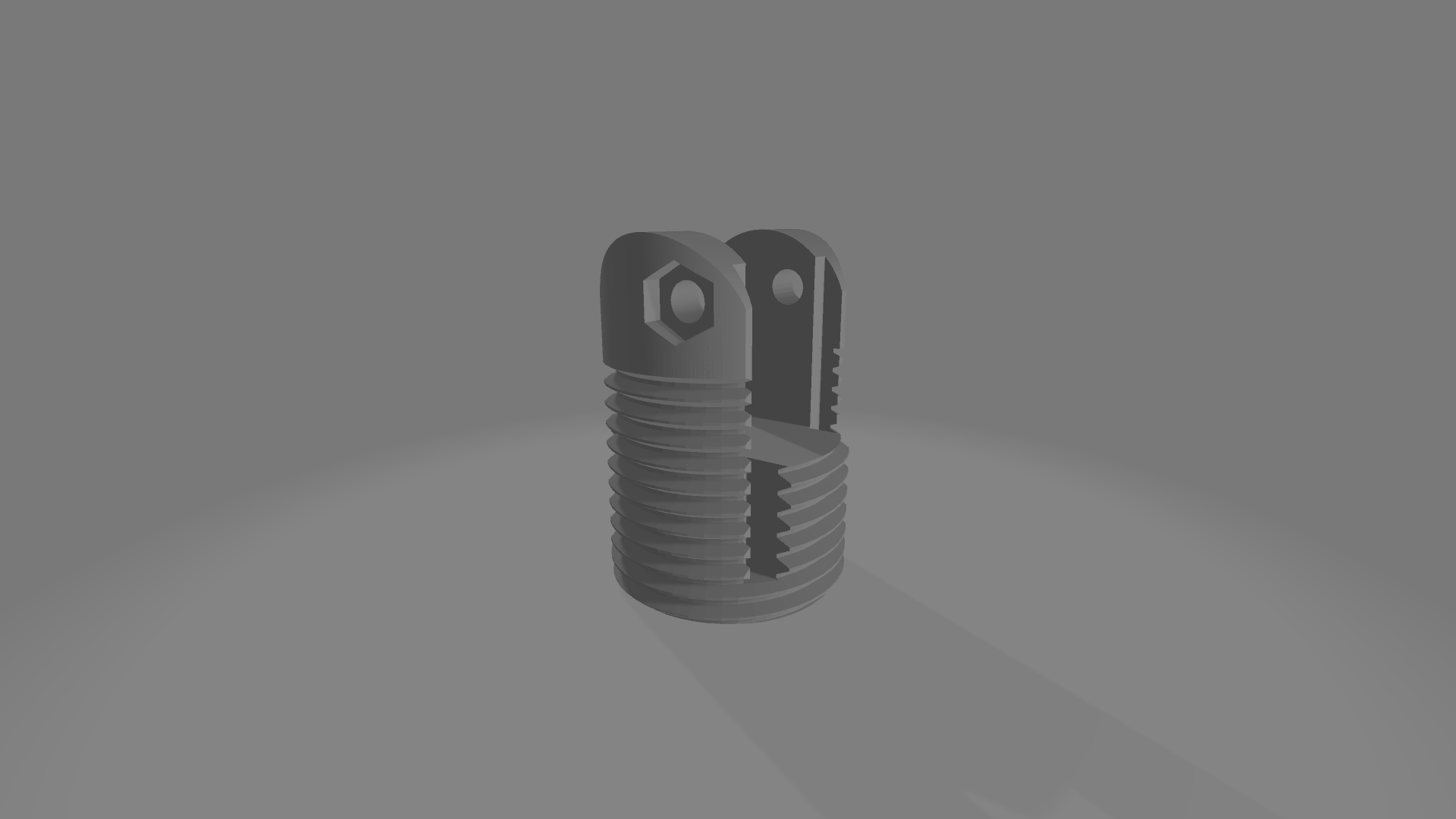
Yet anoter maps Display Knob Ring for Creality Ender 3 / Ender 3 Pro / Cr-10

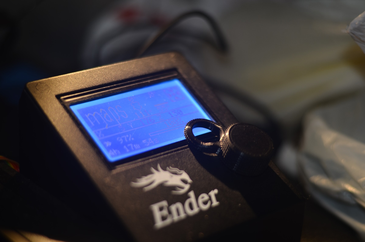
Yet Another Control Knob for the Creality Ender 3 / Ender 3 Pro / Cr-10 Main positive points from this design: one finger to rule the menu History: I wanted a pretty knob for the display for my Ender3 but with a easy way to use it, so i…

Pobrania
56
Polubienia
6
Ocena
0
P
PrintablesTinyMtn

Denali, Foraker, Blackburn, Deborah 3D Maps

TinyMtn Free Pack 4 - Alaska This is a package with 3D model files for four notable mountains in the state of Alaska, USA. Denali, 20,310 ft / 6190 m Mt. Blackburn, 16,390 feet, 4996 m Mt. Foraker, 17,400 ft / 5304 m Mt. Deborah, 12,339…

Pobrania
48
Polubienia
10
Ocena
0
P
Printablesahoi

Pop Socket Mount Maps & More

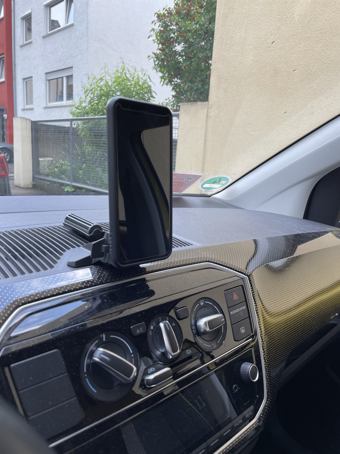
A pop socket mount fitting on the maps & more holder of VW Up, Seat Mii or Skoda Citigo.

Pobrania
40
Polubienia
3
Ocena
0

Missing Maps Globe

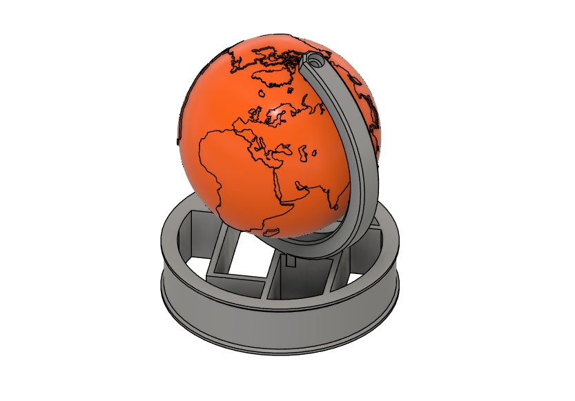
This 3D printed globe was designed by MSF Missing Maps team in Czechia as a gift for mapathon organizers, Missing Maps champions, and validators in the winter 2024/25. About Missing Maps: Missing Maps is a project led by a collective of…

Pobrania
34
Polubienia
3
Ocena
0
P
Printablesschsteph

Maps+More Dock Display Adapter Up! / Mii / Citigo

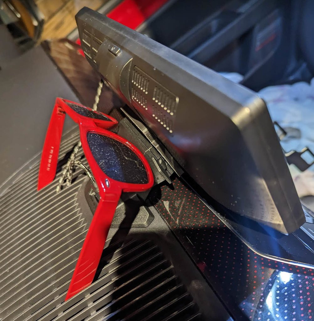
Maps+More Dock Display Adapter for the wide Android Auto / Carplar Display. The adapter plate is screwed to the 4 screws in the display and then clipped into the original holder. It doesn't need to be drilled. Fits the new mobile phone…

Pobrania
34
Polubienia
1
Ocena
0
P
PrintablesMilian

Pick-Up (Google Maps)

Man kann optional die Größe des Models verändern (unterschiedliche Handygrößen)

Pobrania
34
Polubienia
4
Ocena
0
P
PrintablesEmil T

Folder for Terrain Maps

This is a storage folder for folded backpacking maps, if you have Fusion 360 you should be able to modify its parameters to fit your needs, there is also an STL for printing a thin-walled folder (1.2mm walls, both external and internal)…

Pobrania
32
Polubienia
5
Ocena
0
P
Printablesmaps

maps Bed Leveling Tool for Ender3

Main positive points from this design: facilitates the leveling of the bed makes easier to change the build plate works well with my Ender 3 Rapid Z Adjust BOM: M3 screws and nuts 1 pen spring Print instrutions: This was printed with Cura…

Pobrania
29
Polubienia
4
Ocena
0
P
PrintablesIsaac Howard

Template for drawing houses on maps

I use this to sketch in pencil houses on my maps. Category: Art Tools

Pobrania
24
Polubienia
9
Ocena
0
P
PrintablesWeirdNerd5

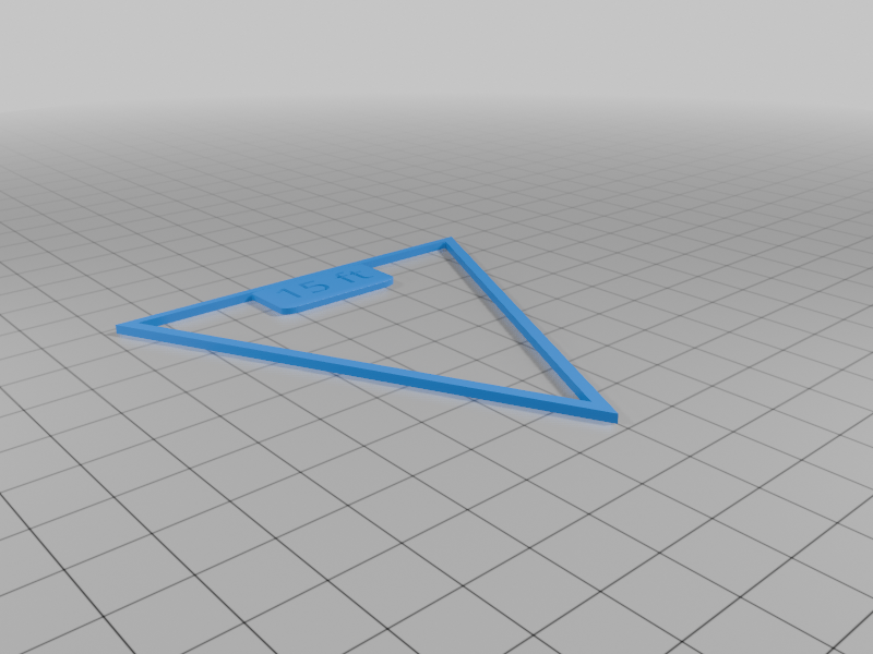
D&D Area of Effect Rulers (for 1 inch maps)

A collection of tools for measuring areas of effect on a standard 1 inch:5ft scale map All are 1/16 inches thick and labelled with text 1/32 inches deep. Sizes include: 5ft radius (2x2 inches) 10 ft radius (4x4 inches) 15 ft radius (6x6…

Pobrania
23
Polubienia
3
Ocena
5
P
Printables3D Print Swen

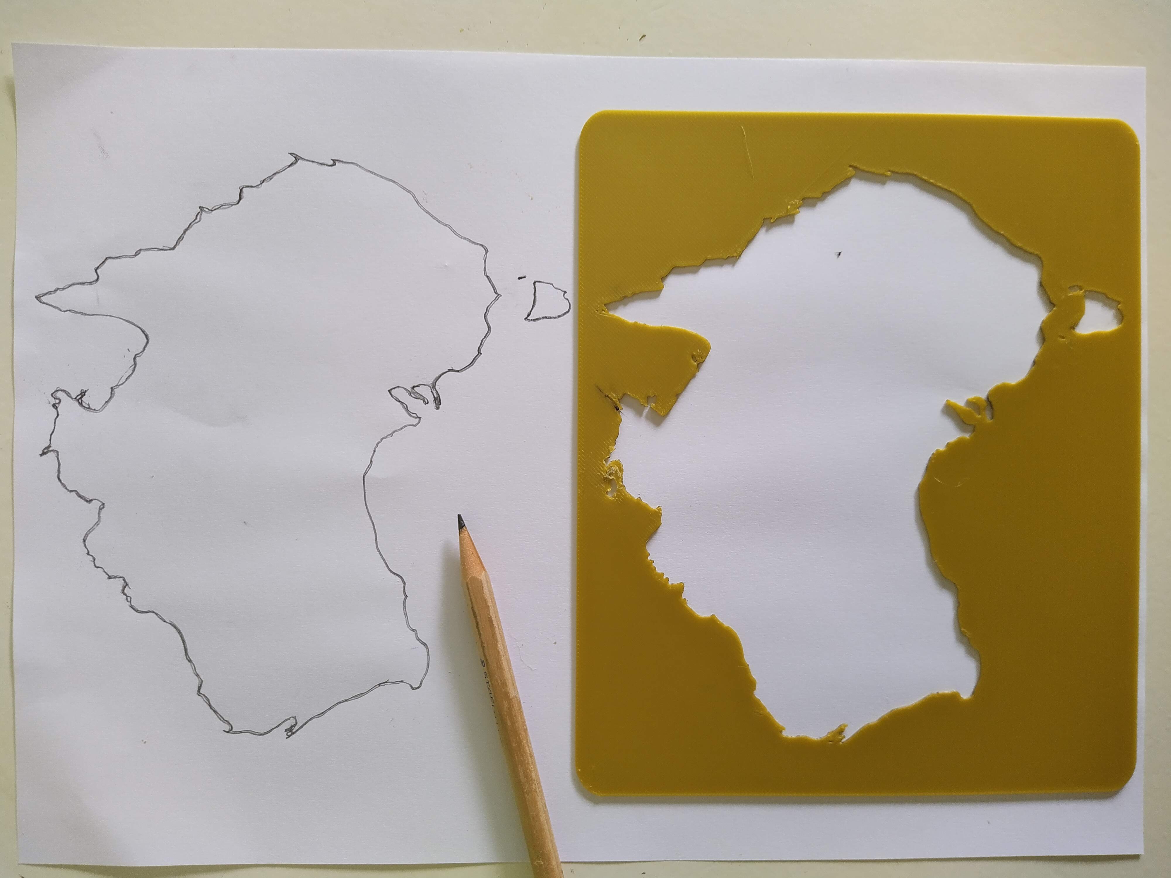
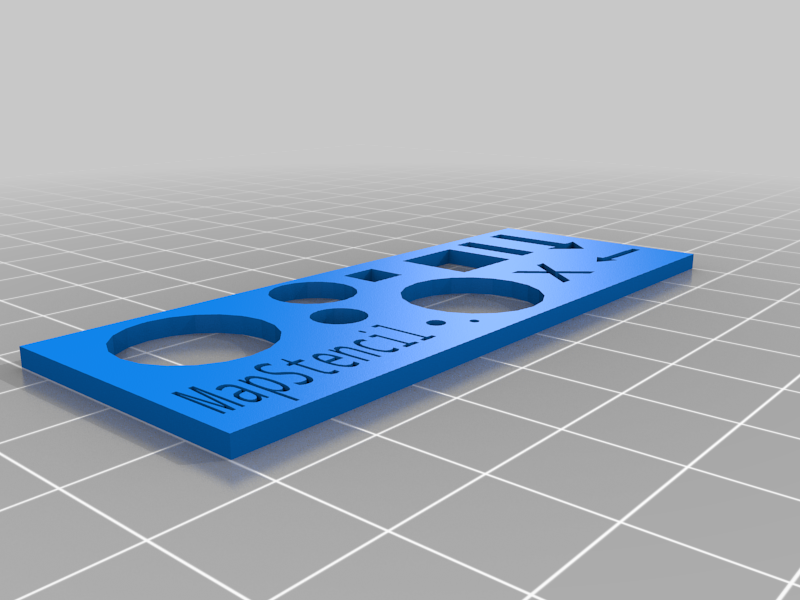
MapStencil (Map Stencil Template)

This is an small "gadget", for hiking trips. It's a simple stencil designed in thinkercad. Print Settings Printer Brand: Creality Printer: Ender 5 Rafts: Yes Supports: No Resolution: 0.2 Infill: 20% - 40% Filament: OVERTUNE PLA White…

Pobrania
23
Polubienia
9
Ocena
0
P
Printablesmaps

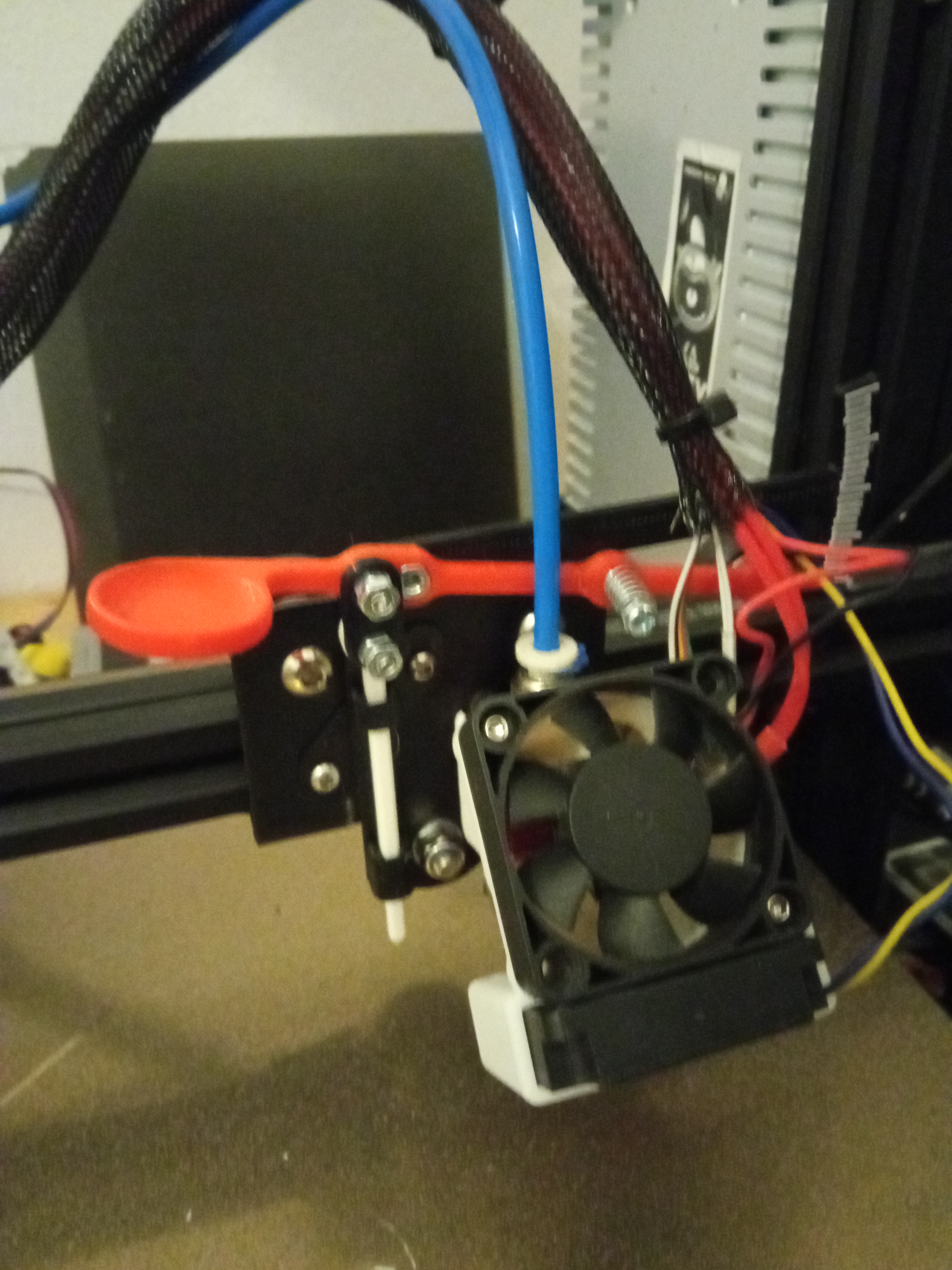
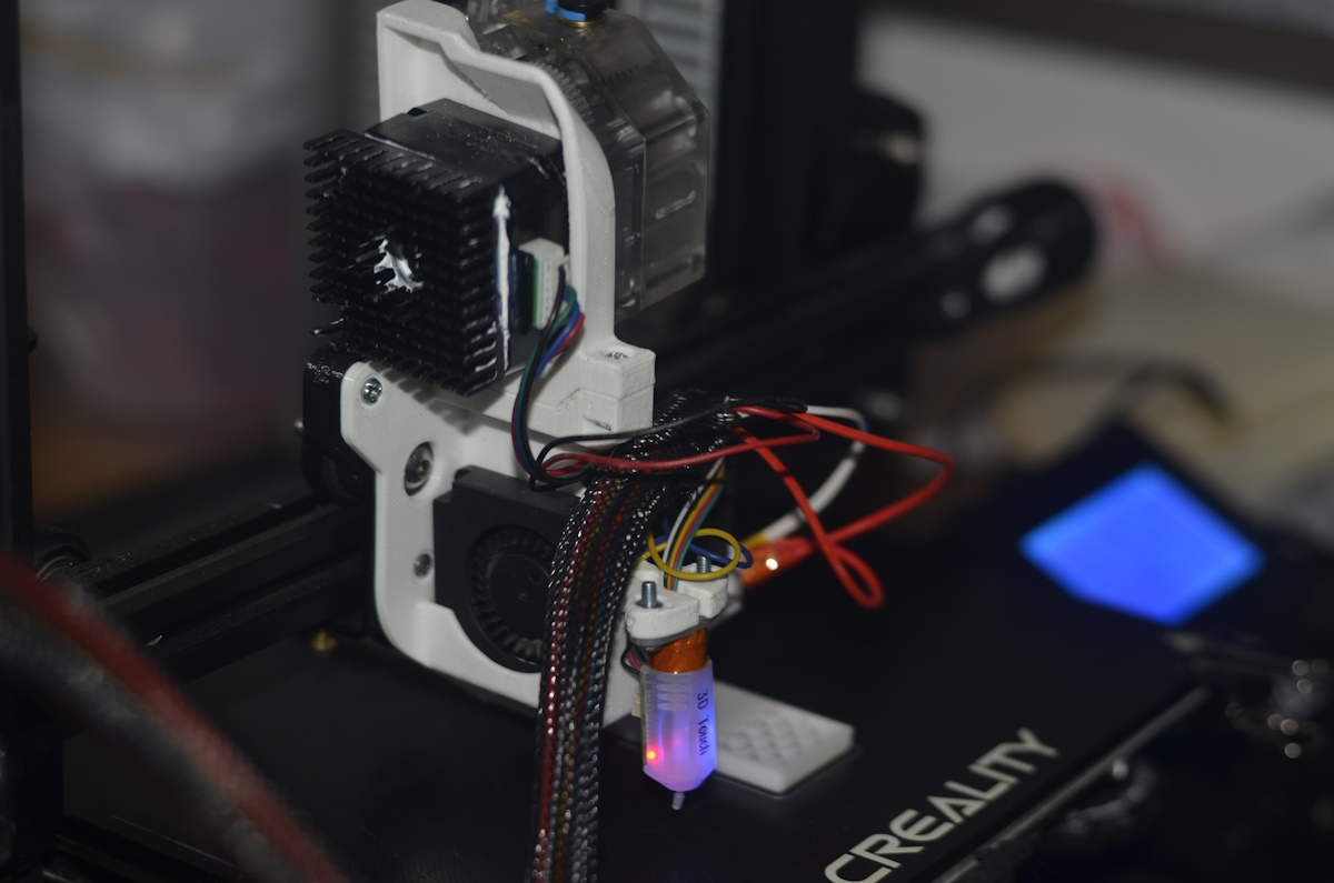
maps Ender 3 Direct Drive + Extruder Shroud

Main positive points from this design: no screws for fans : mount in place Fan for nozzle just on one side to avoid “grabbing” part's clear eye sight to the extruder nozzle Extruder disassemble without taking the shroud Shroud can be…

Pobrania
20
Polubienia
1
Ocena
0
P
PrintablesAnson Liu

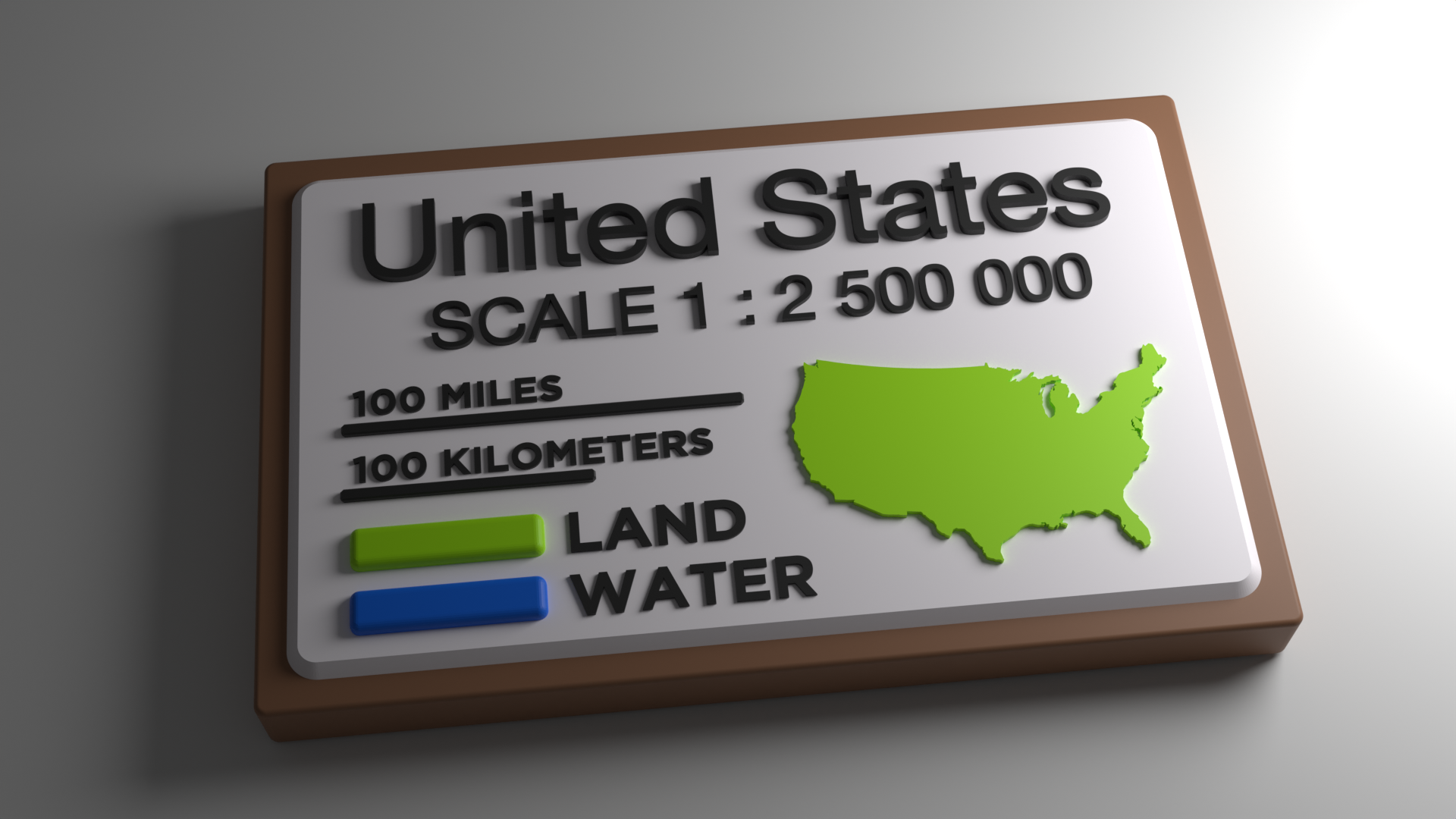
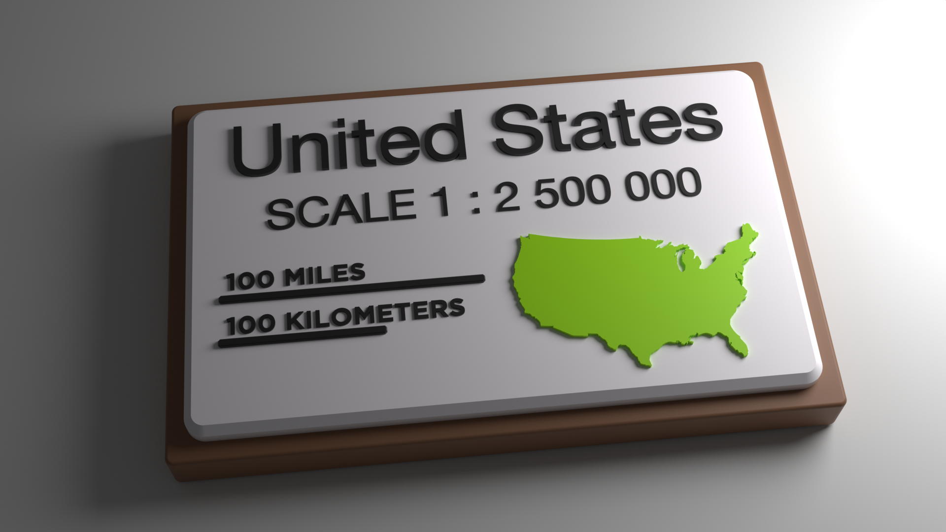
USA Map Legend 100% XY scale (1:2500000) - for single color maps

This 3D printable map legend and scale is for the USAofPlastic Topo Map Collection when printed at default 100% XY scale. This legend is made for 3D maps printed in single colors since it does not have have color boxes and labels like the…

Pobrania
19
Polubienia
2
Ocena
0
P
PrintablesLenovive3D

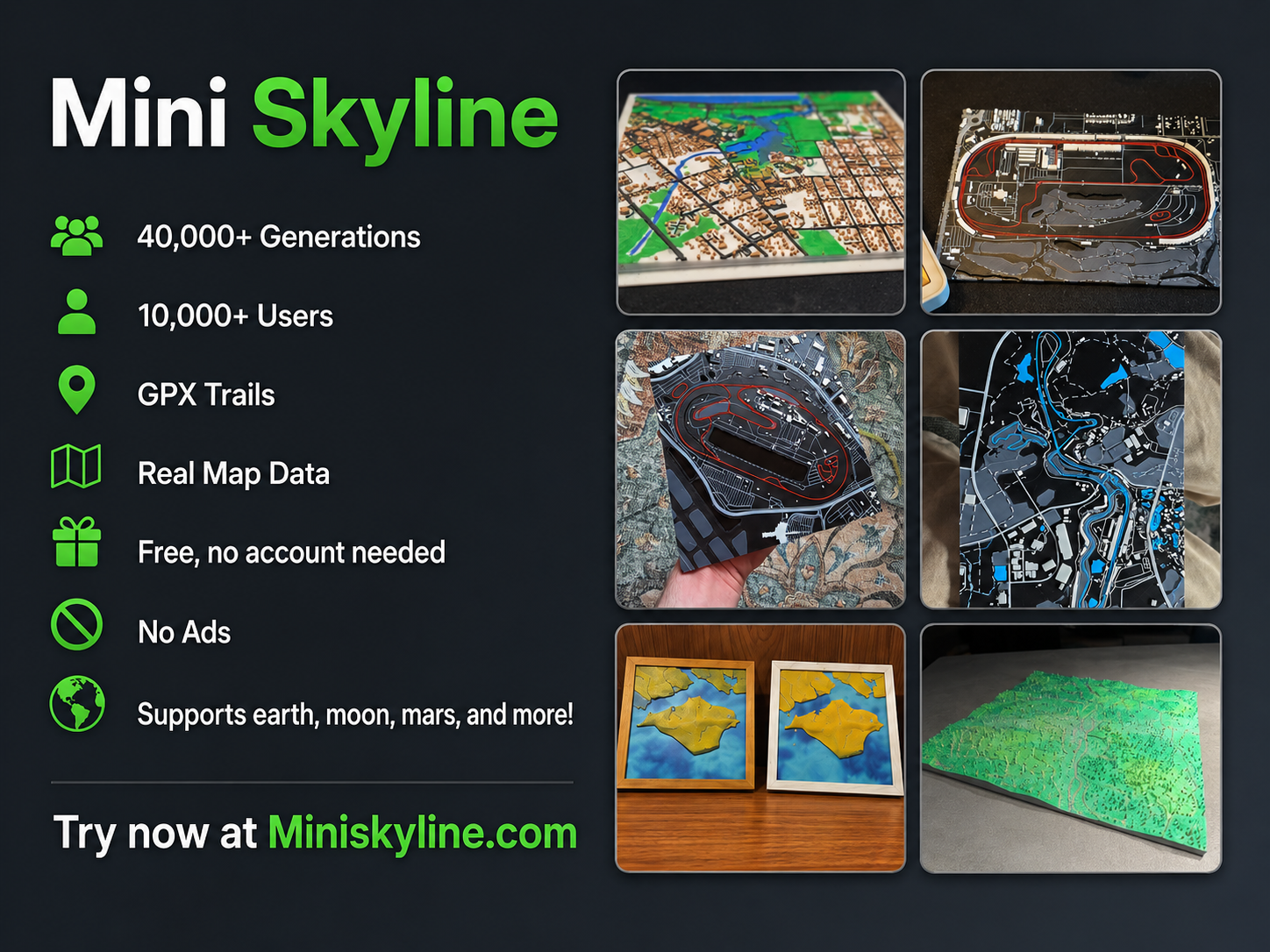
Mini Skyline: Real Maps to 3D Prints. Free Web Tool With Sample

Mini Skyline lets you turn almost any real place, from your hometown to Hilo, Hawaii, into a printable 3D high detail customized model. Pick an area, choose the shape and size, toggle features like roads, buildings, water, grass, and…

Pobrania
19
Polubienia
61
Ocena
0
P
PrintablesAnson Liu

USA Map Legend 100% XY scale (1:2500000) - for dual color maps

This 3D printable map legend and scale is for the USAofPlastic Topo Map Collection when printed at default 100% XY scale. This legend is made for 3D maps printed in 2 or more colors. The model is multipart that can be either printed with…

Pobrania
18
Polubienia
4
Ocena
0
P
Printablesfeedle

Classic Grand Theft Auto Trilogy Maps

The majority of the maps for the classic trilogy, made to (possibly) be printed. I used the original files from all three games, and used AI to assemble the maps since it's a lot to do alone. The building and terrain models are only…

Pobrania
18
Polubienia
2
Ocena
0
P
PrintableskleinKN23

Maps' Ender 3 Tensioners Remix

With maps' original component the belt was rubbing against the X gantry, so I placed the bolthole 3 mm lower, so now the belt runs inside the extrusion on the top and below it on the underside so there is no contact between the belt and…

Pobrania
17
Polubienia
2
Ocena
0
P
PrintablesAC1101

HEX grid Stencil for TTRPG Maps

I wanted an easy to use stencil for making hex maps for DND.

Pobrania
16
Polubienia
3
Ocena
0
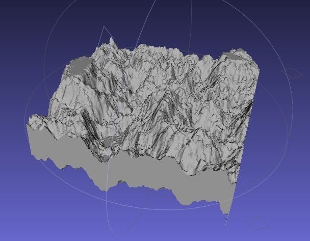
P
Printableswilliamaadams

Height Maps in Banate CAD

One of the last extension libraries I wrote in OpenScad had to do with height maps. This thing implements height maps in Banate CAD. You can read the blog entry here: http://williamaadams.wordpress.com/2011/11/25/and-height-maps-for-all/…

Pobrania
16
Polubienia
2
Ocena
0
P
PrintablesAnson Liu

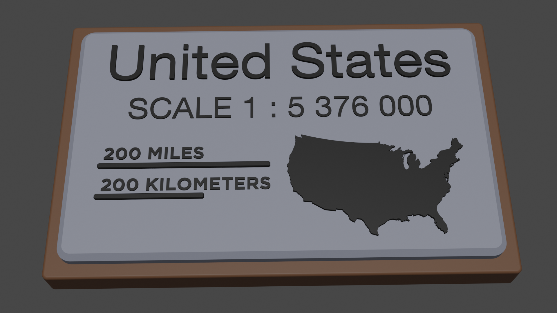
USA Map Legend 46.5% XY scale (1:5376000) - for single color maps

This 3D printable map legend and scale is for the USAofPlastic Topo Map Collection when printed at ~46.5% XY scale. This is a multipart model that can be either printed with a multicolor printer or each part printed separately and…

Pobrania
12
Polubienia
3
Ocena
0
P
PrintablesAleš Designs

Modern bookmarks with country maps

Simple modern bookmarks with country maps. Is your country missing? Write to me and I will add it!

Pobrania
12
Polubienia
8
Ocena
0
P
PrintablesKaotic One

Tactile Maps Frame

I recently discovered Touch Mapper (touch-mapper.org), a website for generating tactile printable maps. These can be functionally used by blind or low-vision folks, or as beautiful custom art. The default size for maps is 200x200mm, and…

Pobrania
10
Polubienia
0
Ocena
0
P
PrintablesBohnzi

TerrainMaker - Design Multicolor Maps!

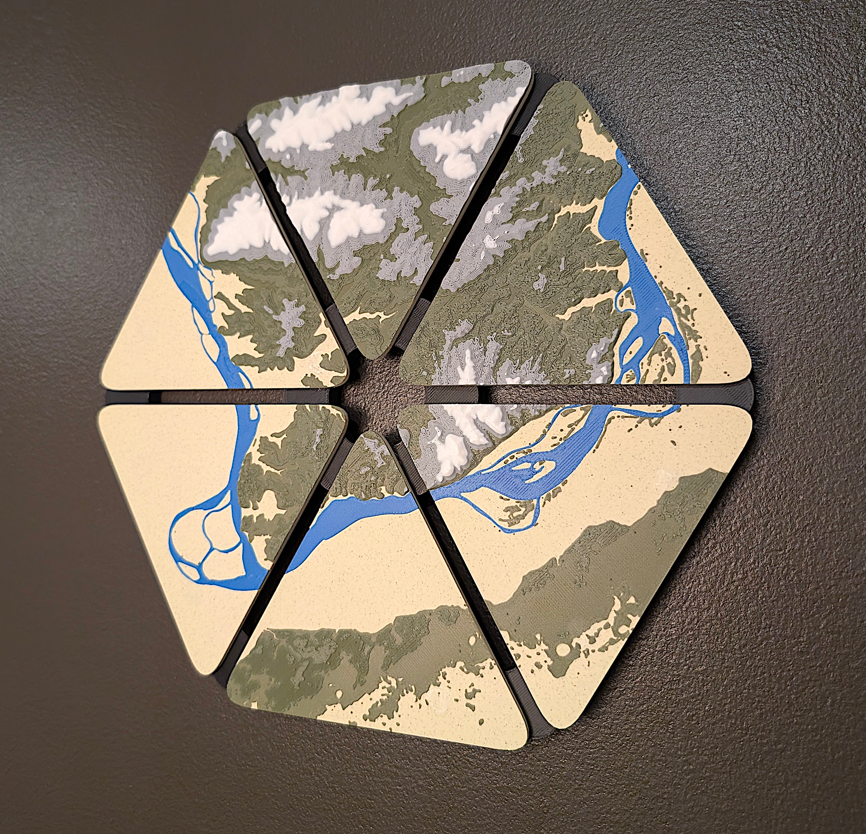
TerrainMaker.com , a web based tool to generate 3D printable terrain models from anywhere in the world. As of April 3 2026, I am about 400 hours into this project! Main Features Custom Base Shapes (via SVG upload, draw on map, island…

Pobrania
9
Polubienia
5
Ocena
0
P
Printablesmaps

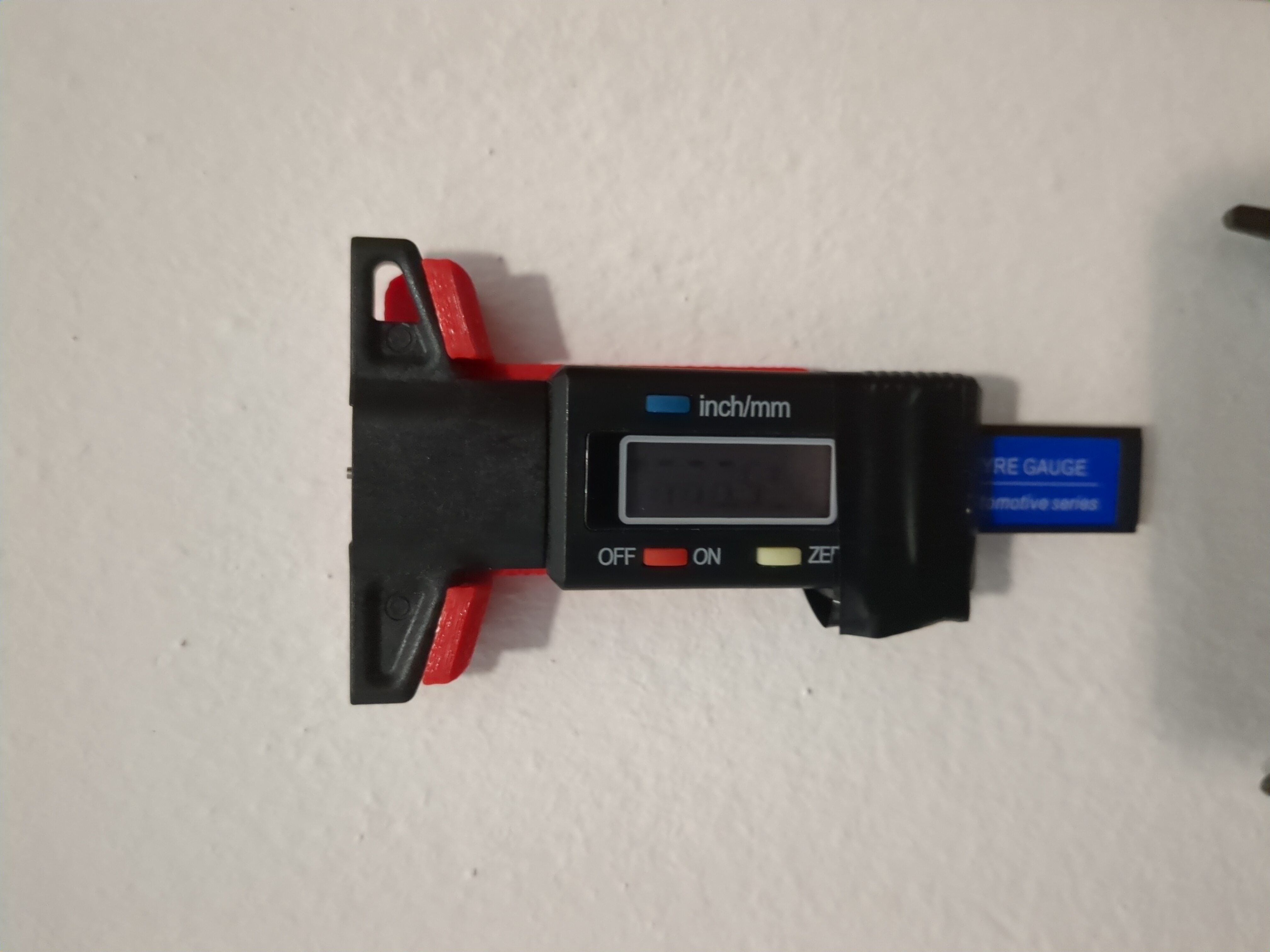
maps Tyre Gauge wall mount

Main positive points from this design: fixed by 2 screws or by double-sided tape no need for IKEA holder History: Just needed some wall mount for this gauge. didn't found. but the one I remixed from was almost perfect for my needs. So…

Pobrania
8
Polubienia
2
Ocena
0
P
PrintablesAnson Liu

California and USA 48 state keychain and magnet maps

Fun sized California and USA 48 state maps optimized for keychains and fridge magnets. Made for display at CA Bay Area Fantuan vendor fair https://www.instagram.com/p/DZYCapSD6rP/?img_index=2 The keychain models have a keychain loop…

Pobrania
8
Polubienia
1
Ocena
0
P
PrintablesAl Popovic

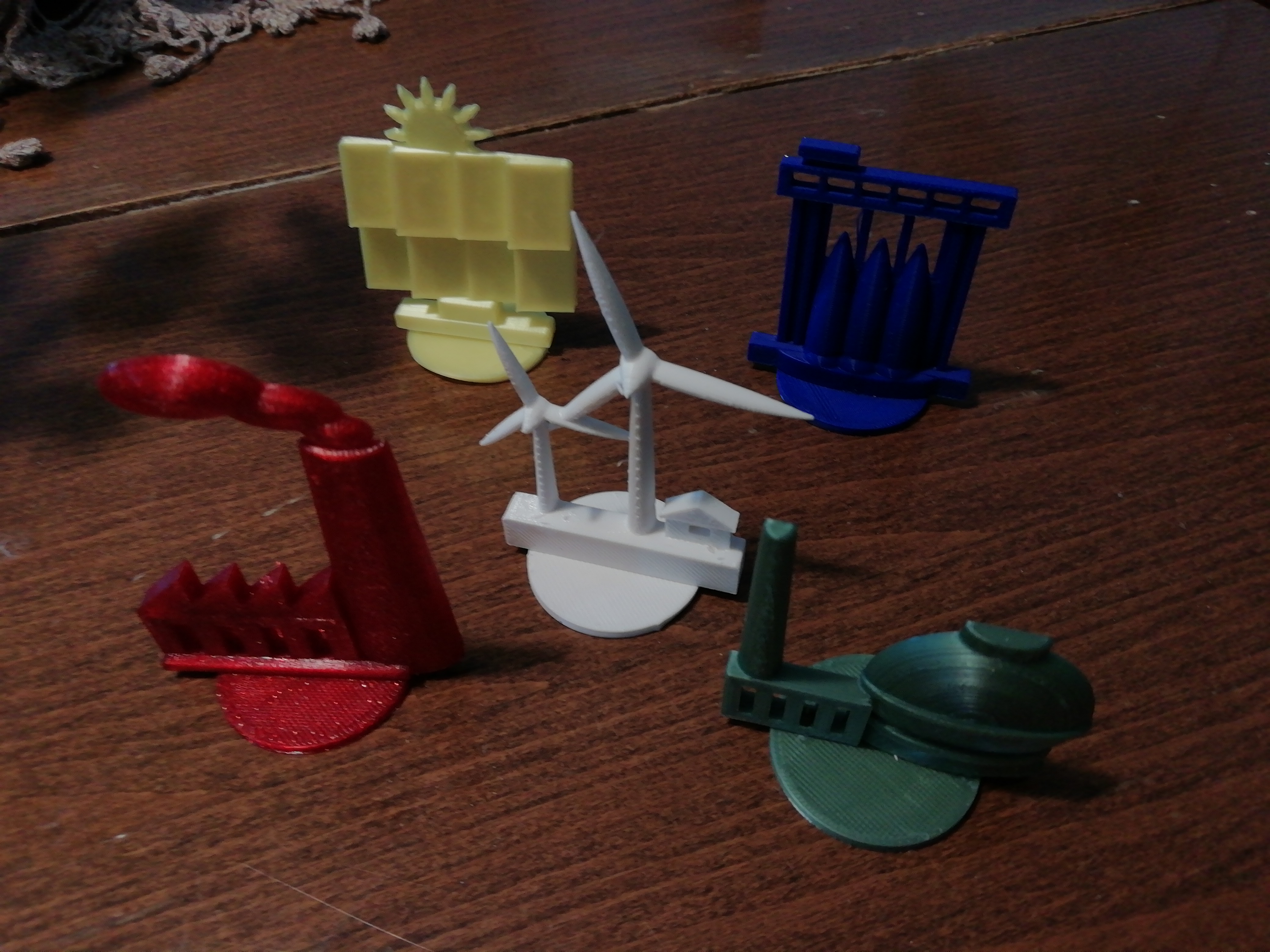
Power plants 3D figures for educational maps

Models of power plants to be used on top of maps for educational or presentation purposes Hydro plant - blue, Thermal plant - red, (bio)Gas plant - green, Windmill plant - white, Solar plant - yellow. Can be rescaled to suit any map...

Pobrania
7
Polubienia
3
Ocena
5
P
PrintablesCurragh

Wall fixing for old school maps

Eyelet : 15 mm Base: screws (4mm) or double-sided tape mounting.

Pobrania
5
Polubienia
1
Ocena
0

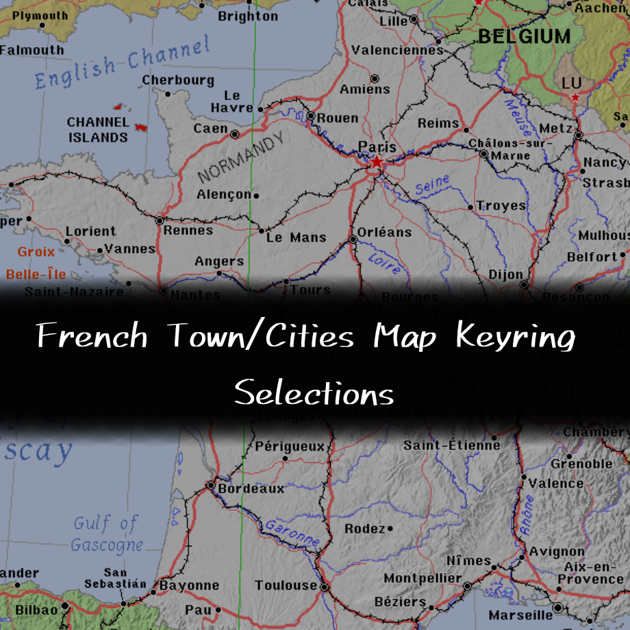
French Towns/Cities Keyring Maps Collection

Introducing the French Town/Cities Map Keyring Selections page, where there 50 different places across France, each one of them has the location's name engraved and the outline of the buildings of the place, each state has 5 places to…

Pobrania
5
Polubienia
0
Ocena
0
P
PrintablesAndreas Kilthau

3D printing of maps by combining OpenStreetMap data and SRTM elevation data

The aim of the project is to develop an application for 3D printing of maps with freely selectable additional geodata such as roads, rivers or cities.

Pobrania
5
Polubienia
13
Ocena
0
P
Printablesmaps

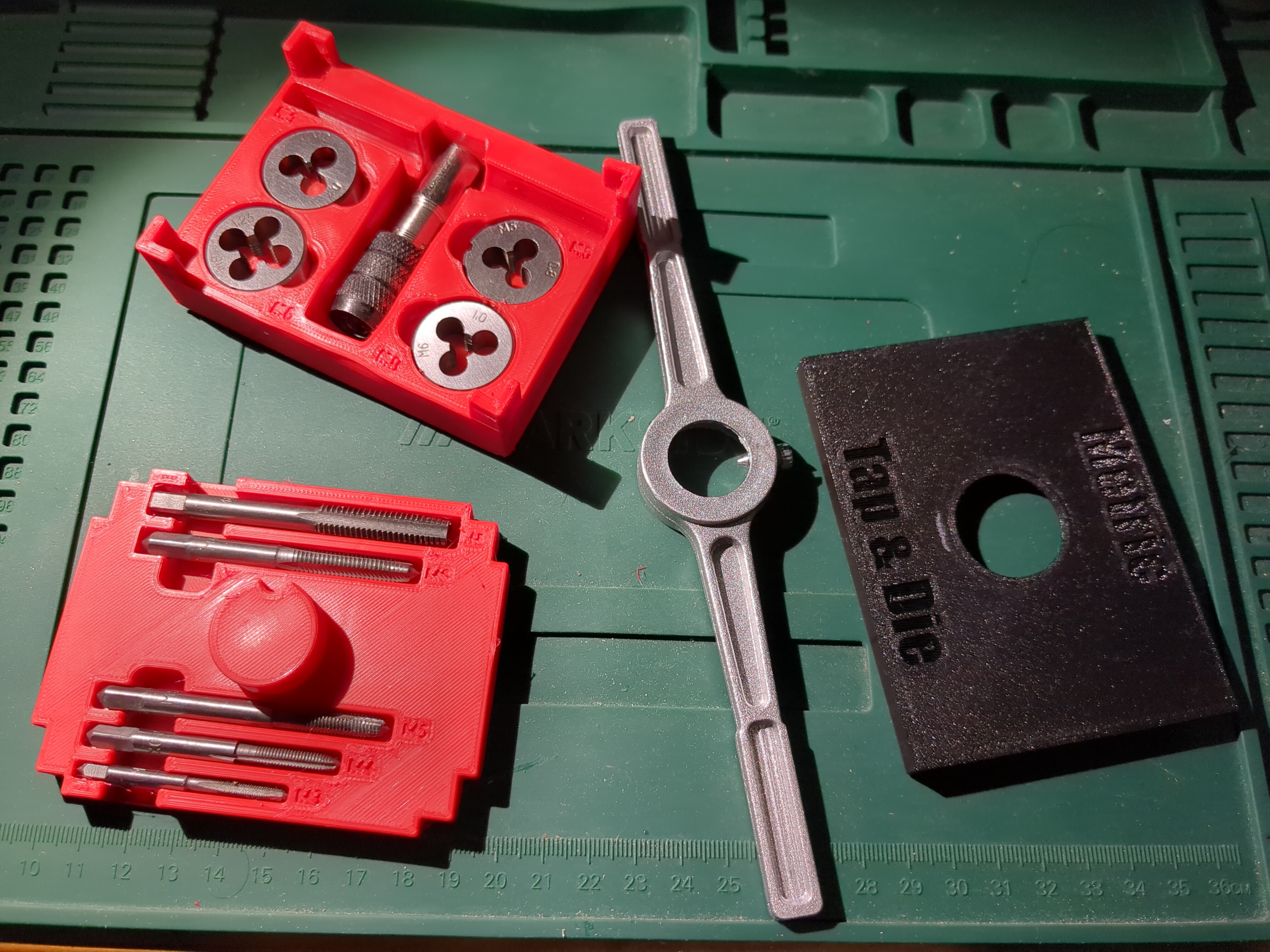
maps Metric Tap and Bits Tool Box

Main positive points from this design: Taps M4/M5/M6/M8 with Ø25mm Bits M3/M4/M5/M6/M8 Space for adapters The Tap tool holds the lid Closed FreeCAD and STEP for user's to remix History: After browsing several Tap's and Bit's boxes and…

Pobrania
4
Polubienia
0
Ocena
0
P
Printablesproject strik
Pobrania
4
Polubienia
1
Ocena
0
P
PrintablesJulian Gorfer

Maps of Azeroth: Eastern Kingdoms

Azeroth Like You've Never Seen It Before Remember the first time you walked through the gates of Stormwind, heard the eerie whispers of the Tirisfal Glades, or braved the scorched wastes of the Searing Gorge? For over two decades, World…

Pobrania
4
Polubienia
2
Ocena
0
P
Printablesmaps

maps Bed Leveling whit handle

Recently i lost all my 3D data and didn't had a backup. Usually i used a similar bed leveling test for de BLtouch but i couldnt find it anywhere. So i designed one. This has a little handle to inspect the print leveling while extruding. I…

Pobrania
3
Polubienia
0
Ocena
0
P
PrintablesTheVillas

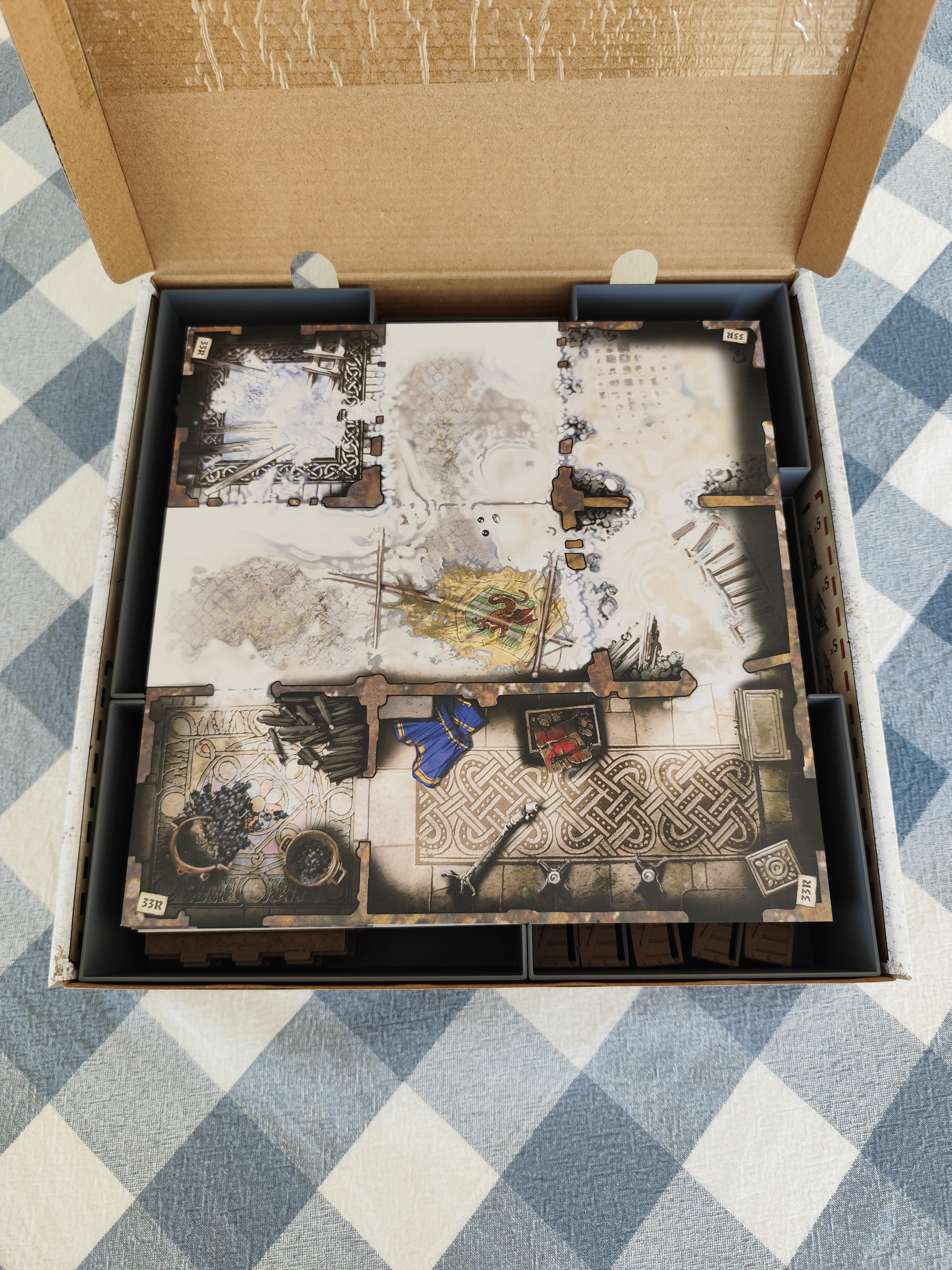
Zombicide: White Death - Maps and 3D tiles INSERT

This is a custom insert made to hold all Zombicide: White Death map tiles into the additional box that comes in the base game. Also holds custom made 3D tiles, battlements and props for the game. The base game plus expansions are stored…

Pobrania
3
Polubienia
0
Ocena
0
P
PrintablesJulian Gorfer

Maps of Azeroth: Kalimdor

Azeroth Like You've Never Seen It Before Remember the first time you stepped through the gates of Orgrimmar, heard the serene music of Mulgore, or braved the dark canopies of Ashenvale? For over two decades, World of Warcraft has been a…

Pobrania
3
Polubienia
1
Ocena
0

Historical Flexi Maps Selections

If you've been on my page for a while, you've noticed I've been posting Flexi maps from different regions, but today I've been working in this project for almost an entire day, to ensure these flexi of historical countries work, there's 5…

Pobrania
2
Polubienia
0
Ocena
0

Yorkshire Flexi Maps Selections

Yorkshire is well known for loads of reasons, The Yorkshire Dales and Moors, Yorkshire Pudding etc, it's also one of the biggest county in England along side with Lincolnshire that's the 2nd biggest, its became its own county since 1066.…

Pobrania
2
Polubienia
0
Ocena
0
P
PrintablesTony Hanma

Real Topographic Relief Maps - Mt Fuji, Osaka Bay, Gran Canaria, Lisbon (4-colour AMS)

Real topographic relief maps in four colours, built from open elevation data: Mount Fuji with its lakes, Osaka Bay with Awaji Island, Gran Canaria, and Lisbon with the Tagus estuary. Each 100 × 100 mm tile is coaster-sized desk art with a…

Pobrania
0
Polubienia
0
Ocena
0
P
Printables

TerrainMaker - Design Multicolor Maps!

TerrainMaker.com , a web based tool to generate 3D printable terrain models from anywhere in the world. As of April 3 2026, I am about 400 hours into this project! Main Features Custom Base Shapes (via SVG upload, draw on map, island…

P
Printables

Codenames pictures box - rectangle maps

Box to store codenames pictures in, 3x types of cards and the plastic card holder. This is for the rectangular maps.