P
PrintablesDelta Whiskey
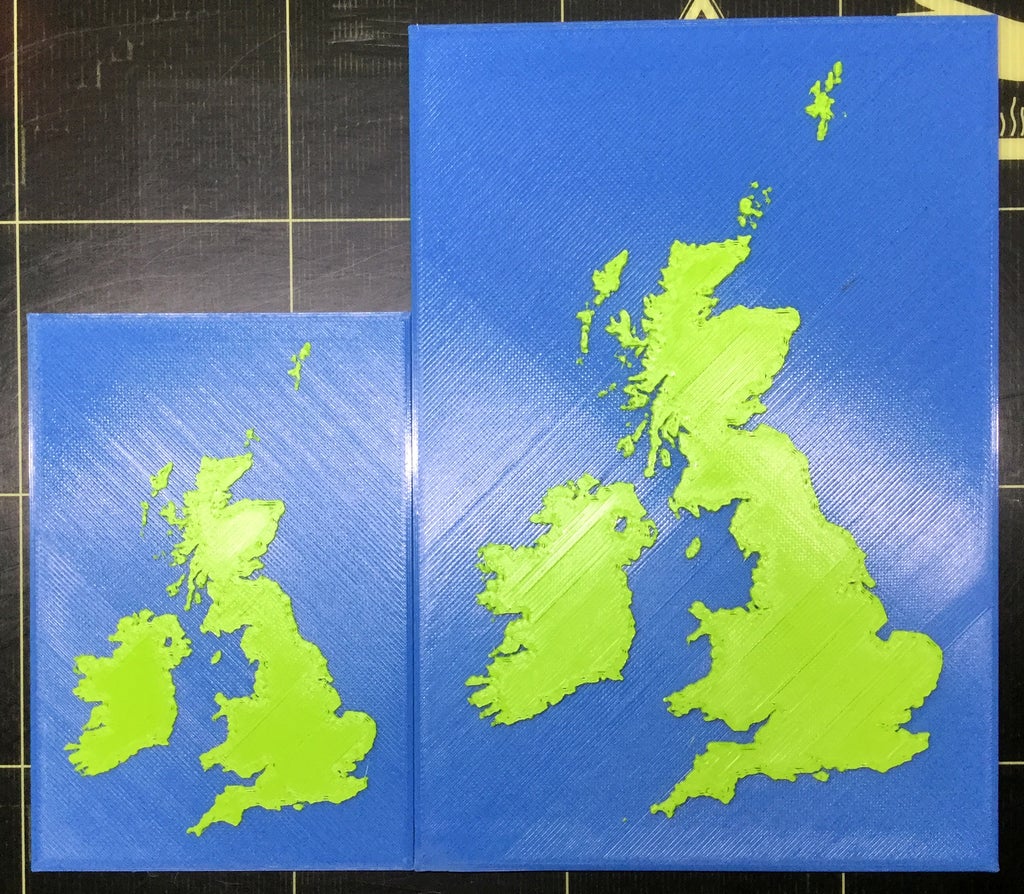
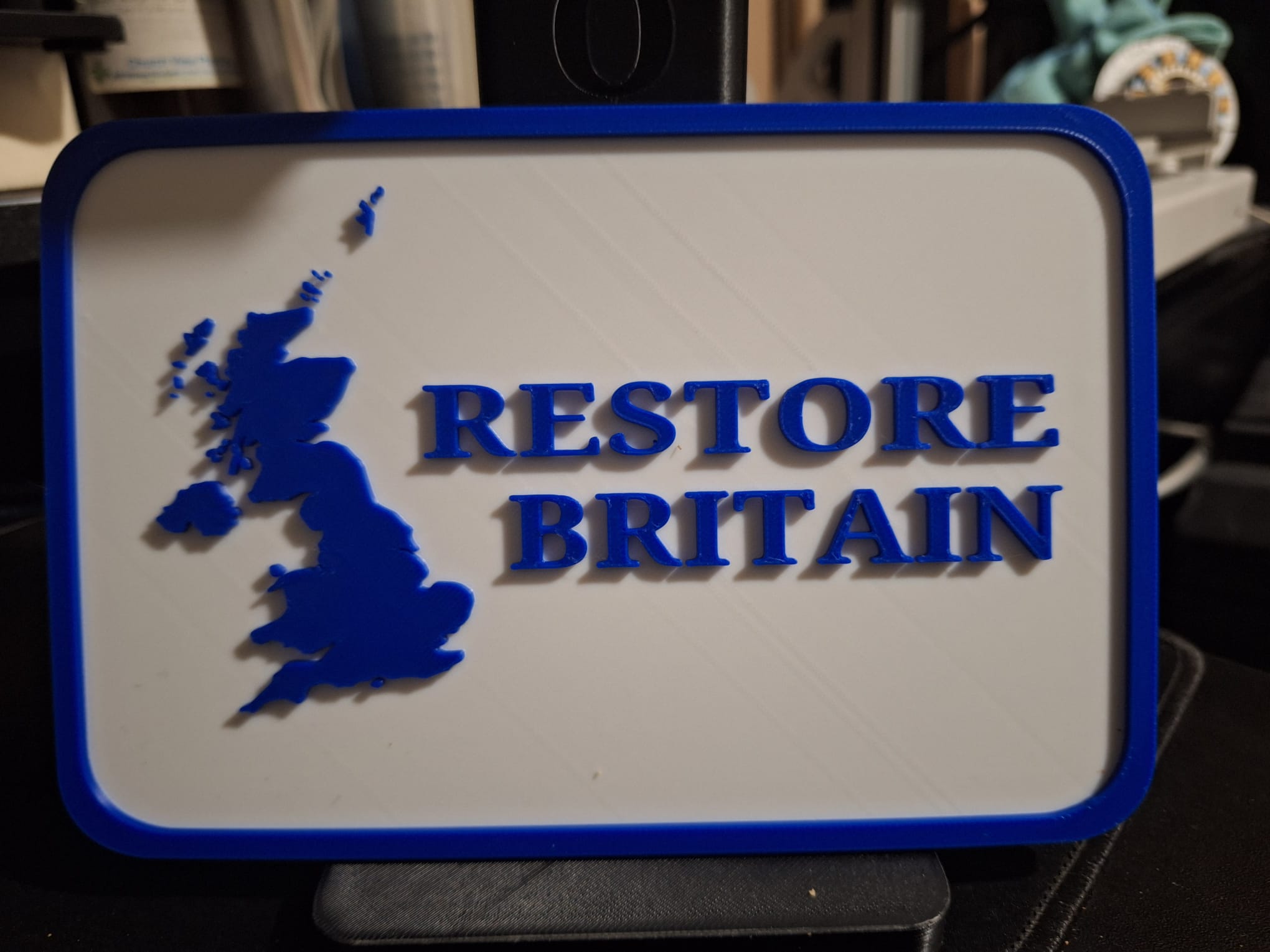
Great Britain & Ireland Map
A detailed map of Great Britain & Ireland rendered in two colours. Along with the .stl, two versions of the PrusaControl generated .gcode are included, one at 100% (0.15 Resolution) and the other at 150% (0.2 Resolution) Print…
- Pobrania
- 90
- Polubienia
- 9
- Ocena
- 5